Home
States
Colorado
Connecticut
Maine
Massachusetts
New Hampshire
New York
Rhode Island
Utah
Vermont
View All
Lists
NE 4,000 Footers
NE 100 Highest
NH 4,000 Footers
NH 100 Highest
NH 52 With A View
NH Belknap Range
NH Ossipee 10
Links
Trail Conditions
Trip Log
Sunrises
Sunsets
About
|
Mt. Lafayette, Mt. Truman, Mt. Lincoln, Little Haystack Mountain, Mt. Liberty, Mt. Flume
Franconia, NH, Lincoln, NH
Trailheads, measurements, times, distances, and maps are all approximate and relative to the hike(s) as shown below.
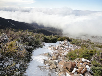
Looking down the Greenleaf Trail on the way to Mt. Lafayette
Route: Old Bridle Path, Greenleaf Trail, (Mt. Lafayette), Franconia Ridge Trail, (Mt. Truman), Franconia Ridge Trail, (Mt. Lincoln), Franconia Ridge Trail, (Little Haystack Mountain), Franconia Ridge Trail, (Mt. Liberty), Franconia Ridge Trail, (Mt. Flume), Franconia Ridge Trail, Osseo Trail, Lincoln Woods Trail
Taking advantage of minimal snow depths, we spotted a vehicle at Lincoln Woods, another one at the Basin (in case of needing a bail out), and then headed up to Lafayette Place.
Starting off as a dark, cloudy day, we were forced to put on Microspikes to get up the Old Bridle Path, as the rocky/ledgy areas had a decent layer of ice on them. After a break at the hut, we continued up to treeline, where we suddenly broke out of the clouds and into an awesome undercast.
From the summit of Mt. Lafayette, the only peaks initially visible were the Presidentials, Bonds, and part of Mt. Moosilauke.
Heading along the ridge to Truman and Lincoln, the undercast dropped a bit, revealing some additional peaks.
After passing over Mt. Lincoln, I took off my spikes and walked over to Little Haystack. By this point, Liberty and Flume had mostly emerged from the undercast.
Wanting to get out in daylight, we chugged along to Liberty and then to Flume, where there were still some nice looks at the undercast in the Pemi. Upon getting out of the wind, we stopped for a snack break, then headed down the icy stairs, then zoned out for the long, flat walk out to Lincoln Woods.
| Hike Ratings |
|
Getting To Trailhead: |
Easy |
| Destination: |
Mt. Lafayette |
|
Length: |
Moderate |
|
Steepness: |
Difficult |
|
Navigation: |
Easy |
|
Views: |
Excellent |
|
Crowds: |
Minimal |
| Destination: |
Mt. Truman |
|
Length: |
Moderate |
|
Steepness: |
Moderate |
|
Navigation: |
Moderate |
|
Views: |
Excellent |
|
Crowds: |
Moderate |
| Destination: |
Mt. Lincoln |
|
Length: |
Moderate |
|
Steepness: |
Very Difficult |
|
Navigation: |
Easy |
|
Views: |
Excellent |
|
Crowds: |
Moderate |
| Destination: |
Little Haystack Mountain |
|
Length: |
Difficult |
|
Steepness: |
Very Difficult |
|
Navigation: |
Easy |
|
Views: |
Excellent |
|
Crowds: |
Moderate |
| Destination: |
Mt. Liberty |
|
Length: |
Difficult |
|
Steepness: |
Very Difficult |
|
Navigation: |
Easy |
|
Views: |
Excellent |
|
Crowds: |
Minimal |
| Destination: |
Mt. Flume |
|
Length: |
Difficult |
|
Steepness: |
Difficult |
|
Navigation: |
Easy |
|
Views: |
Excellent |
|
Crowds: |
Minimal |
|
| Hike Stats |
|
Date Hiked: |
Sunday, November 7, 2010 |
| Hike Commenced: |
7:34 AM |
| Parking Elevation: |
1,965' |
| Destination: |
Mt. Lafayette |
| Ascent Commenced: |
7:34 AM |
| Summit Reached: |
10:21 AM |
| Time Elapsed: |
02:47 |
| Trailhead Elevation: |
1,980' |
| Summit Elevation: |
5,260' |
| Distance: |
4 miles |
| Vertical Gain: |
3,650' |
| Destination: |
Mt. Truman |
| Ascent Commenced: |
10:29 AM |
| Summit Reached: |
10:49 AM |
| Time Elapsed: |
00:20 |
| Trailhead Elevation: |
5,260' |
| Summit Elevation: |
5,000' |
| Vertical Gain: |
120' |
| Destination: |
Mt. Lincoln |
| Ascent Commenced: |
10:50 AM |
| Summit Reached: |
11:05 AM |
| Time Elapsed: |
00:15 |
| Trailhead Elevation: |
5,000' |
| Summit Elevation: |
5,089' |
| Vertical Gain: |
219' |
| Destination: |
Little Haystack Mountain |
| Ascent Commenced: |
11:08 AM |
| Summit Reached: |
11:40 AM |
| Time Elapsed: |
00:32 |
| Trailhead Elevation: |
5,089' |
| Summit Elevation: |
4,780' |
| Vertical Gain: |
150' |
| Destination: |
Mt. Liberty |
| Ascent Commenced: |
11:44 AM |
| Summit Reached: |
12:56 PM |
| Time Elapsed: |
01:12 |
| Trailhead Elevation: |
4,780' |
| Summit Elevation: |
4,459' |
| Vertical Gain: |
459' |
| Destination: |
Mt. Flume |
| Ascent Commenced: |
1:01 PM |
| Summit Reached: |
1:41 PM |
| Time Elapsed: |
00:40 |
| Trailhead Elevation: |
4,459' |
| Summit Elevation: |
4,328' |
| Vertical Gain: |
438' |
|
|
| Hike Ended: |
4:10 PM |
| Hike Time Elapsed: |
8:36 |
| Hike Vertical Gain: |
5,226' |
|
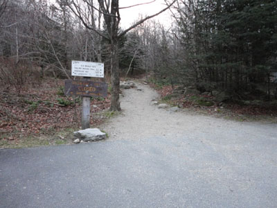
The Old Bridle Path trailhead near I-93
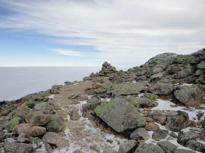
Looking up the Greenleaf Trail on the way to Mt. Lafayette
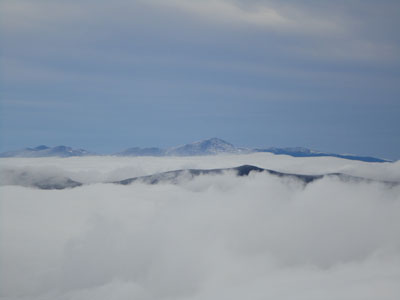
Looking at the Presidentials from the Mt. Lafayette summit

The Franconia Ridge Trail on the way to Mt. Truman

Looking at the Bonds from Mt. Truman
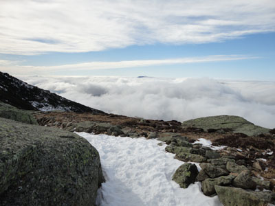
The Franconia Ridge Trail on the way to Mt. Lincoln
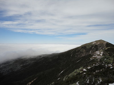
Mt. Lafayette as seen from Mt. Lincoln
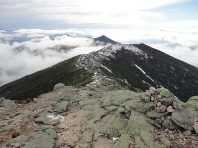
The Franconia Ridge Trail between Mt. Lincoln and Little Haystack
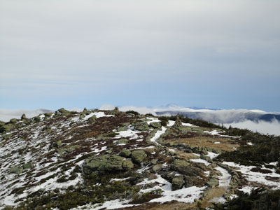
Mt. Washington as seen from near the summit of Little Haystack Mountain
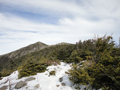
The Franconia Ridge Trail on the way to Mt. Liberty
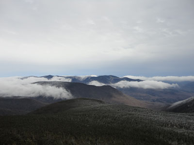
Looking into the Pemi from Mt. Liberty
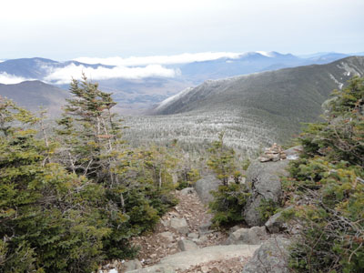
The Franconia Ridge Trail between Mt. Liberty and Mt. Flume
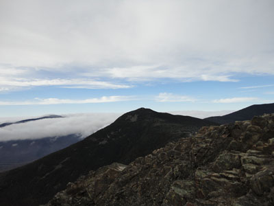
Looking up the Franconia Ridge from Mt. Flume
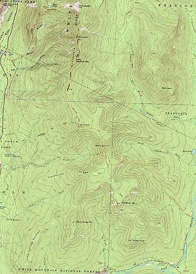

Directions to trailhead: Take Interstate 93 north from Lincoln to the Lafayette Place exit. The Lincoln Woods WMNF fee parking area is located east of Loon ski area on Route 112.
Back to Mt. Lafayette Profile
Back to Mt. Truman Profile
Back to Mt. Lincoln Profile
Back to Little Haystack Mountain Profile
Back to Mt. Liberty Profile
Back to Mt. Flume Profile
|