Home
States
Colorado
Connecticut
Maine
Massachusetts
New Hampshire
New York
Rhode Island
Utah
Vermont
View All
Lists
NE 4,000 Footers
NE 100 Highest
NH 4,000 Footers
NH 100 Highest
NH 52 With A View
NH Belknap Range
NH Ossipee 10
Links
Trail Conditions
Trip Log
Sunrises
Sunsets
About
|
Mt. Lafayette
Franconia, NH, Lincoln, NH
Trailheads, measurements, times, distances, and maps are all approximate and relative to the hike(s) as shown below.
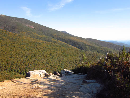
Looking down the Old Bridle Path on the way to Mt. Lafayette
Route: Old Bridle Path, Greenleaf Trail, (Mt. Lafayette), Greenleaf Trail, Old Bridle Path
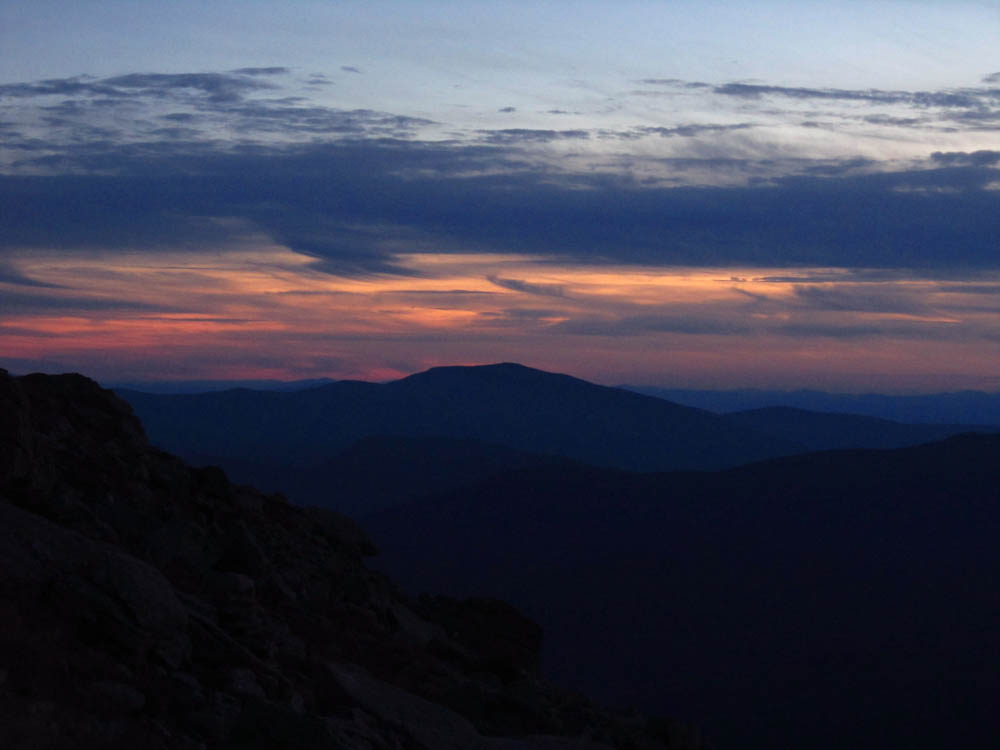
A chilly sunset hike.
| Hike Ratings |
|
Getting To Trailhead: |
Easy |
| Destination: |
Mt. Lafayette |
|
Length: |
Moderate |
|
Steepness: |
Difficult |
|
Navigation: |
Easy |
|
Views: |
Excellent |
|
Crowds: |
Heavy |
|
| Hike Stats |
|
Date Hiked: |
Monday, September 19, 2011 |
| Parking Elevation: |
1,965' |
| Destination: |
Mt. Lafayette |
| Time Elapsed: |
01:47 |
| Trailhead Elevation: |
1,980' |
| Summit Elevation: |
5,260' |
| Distance: |
4 miles |
| Vertical Gain: |
3,650' |
|
|
| Hike Time Elapsed: |
8:36 |
| Hike Vertical Gain: |
4,035' |
|
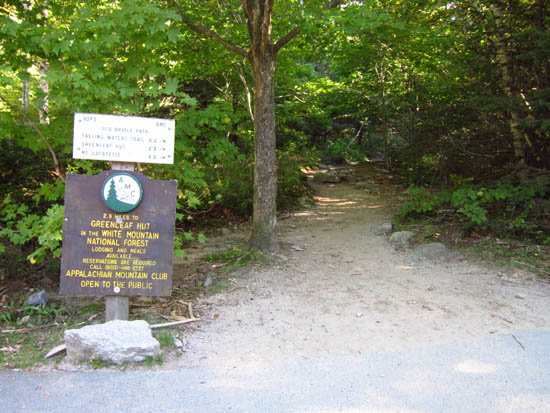
The Old Bridle Path trailhead near I-93
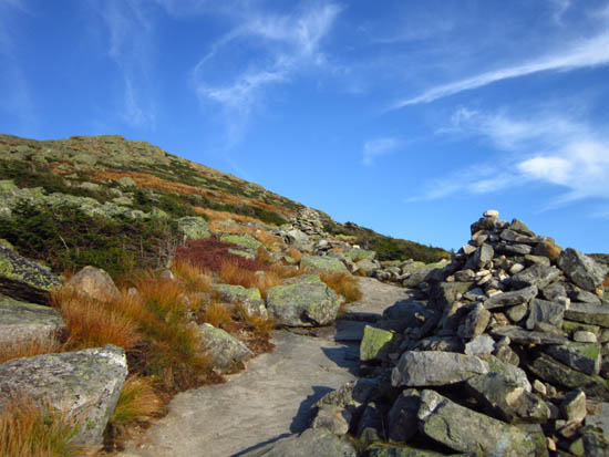
Looking up the Greenleaf Trail on the way to Mt. Lafayette

Looking at the Mt. Carrigain from Mt. Lafayette

The sunset colors from Mt. Lafayette


Directions to trailhead: Take Interstate 93 north from Lincoln to the Lafayette Place exit.
Back to Mt. Lafayette Profile
|