Home
States
Colorado
Connecticut
Maine
Massachusetts
New Hampshire
New York
Rhode Island
Utah
Vermont
View All
Lists
NE 4,000 Footers
NE 100 Highest
NH 4,000 Footers
NH 100 Highest
NH 52 With A View
NH Belknap Range
NH Ossipee 10
Links
Trail Conditions
Trip Log
Sunrises
Sunsets
About
|
Mt. Liberty, Mt. Flume
Lincoln, NH
Trailheads, measurements, times, distances, and maps are all approximate and relative to the hike(s) as shown below.
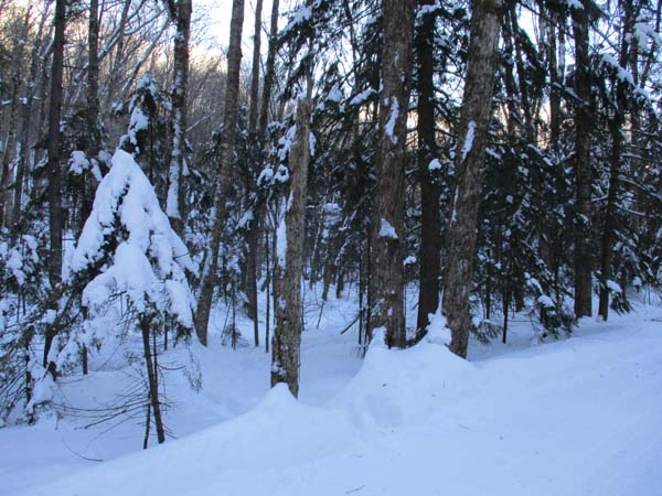
Looking up the Liberty Spring Trail
Route: Bike path, herd path, Liberty Spring Trail, Franconia Ridge Trail, (Mt. Liberty), Franconia Ridge Trail, (Mt. Flume) Franconia Ridge Trail, (Mt. Liberty), Franconia Ridge Trail, Liberty Spring Trail, herd path, bike path
Lots of powder. Snowshoes a must.
Bike path was groomed and busy with snowmobile traffic.
Herd path to the elbow was broken out this morning, but is still not well consolidated. By the looks of it, someone had come up from the Whitehouse trailhead yesterday and turned back at the water crossing. A pair of hikers broke out from there to Liberty this morning; great effort! There was 1 to 2 feet of powder (with deeper drifts) from the back to back storms earlier in the week. Snowpack on the ridge is approaching the signs and blazes, meaning there's a good 5-6 feet. No tracks heading northbound on Franconia Ridge. Noted a set of snowshoe tracks on lower Flume Slide junction, but it looks like they were as the result of turning back.
Amazingly, some parasitic postholers came up this afternoon, clinging to their snowshoeing friends while sinking into the deep snowpack. Few were impressed with this "earning" of a winter peak. It is negligent at best to be miles away from the road in snow this deep with no flotation in tow.
I caught up to the duo coming off Liberty and took over trail breaking to Flume to return the favor. Plenty of powder and some drifts up high, make spruce traps a potential hindrance (stayed true to the trail, so did not fall into any). Did not note any tracks coming up from Osseo. Did not appear that anyone else was going between the peaks today, so the trail is not particularly consolidated.
Cold and windy (enough to move one around this morning) on both summits. Blue skies and snow covered trees made for great scenery.
| Hike Ratings |
|
Getting To Trailhead: |
Moderate |
| Destination: |
Mt. Liberty |
|
Length: |
Moderate |
|
Steepness: |
Difficult |
|
Navigation: |
Easy |
|
Views: |
Excellent |
|
Crowds: |
Minimal |
| Destination: |
Mt. Flume |
|
Length: |
Moderate |
|
Steepness: |
Difficult |
|
Navigation: |
Easy |
|
Views: |
Excellent |
|
Crowds: |
Minimal |
|
| Hike Stats |
|
Date Hiked: |
Saturday, January 12, 2019 |
| Time to Trailhead: |
00:05 |
| Parking Elevation: |
1,520' |
| Destination: |
Mt. Liberty |
| Time Elapsed: |
02:30 |
| Trailhead Elevation: |
1,470' |
| Summit Elevation: |
4,459' |
| Vertical Gain: |
3,049' |
| Destination: |
Mt. Flume |
| Time Elapsed: |
01:07 |
| Trailhead Elevation: |
4,459' |
| Summit Elevation: |
4,328' |
| Vertical Gain: |
438' |
|
|
| Hike Time Elapsed: |
06:10 |
| Hike Vertical Gain: |
4,206' |
|
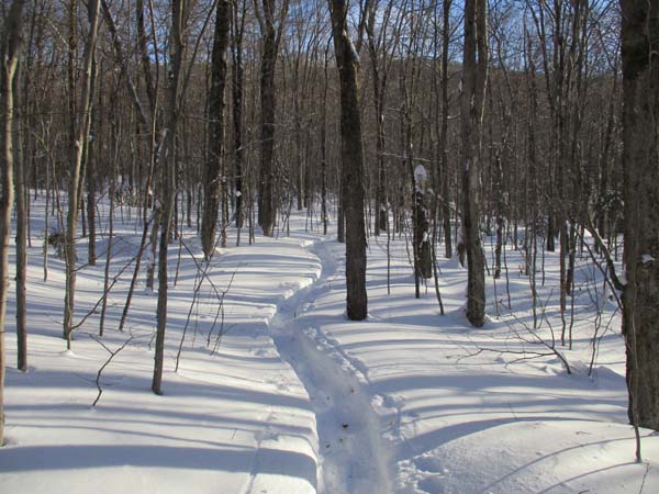
The start of the herd path to the Liberty Spring Trail from the bike path

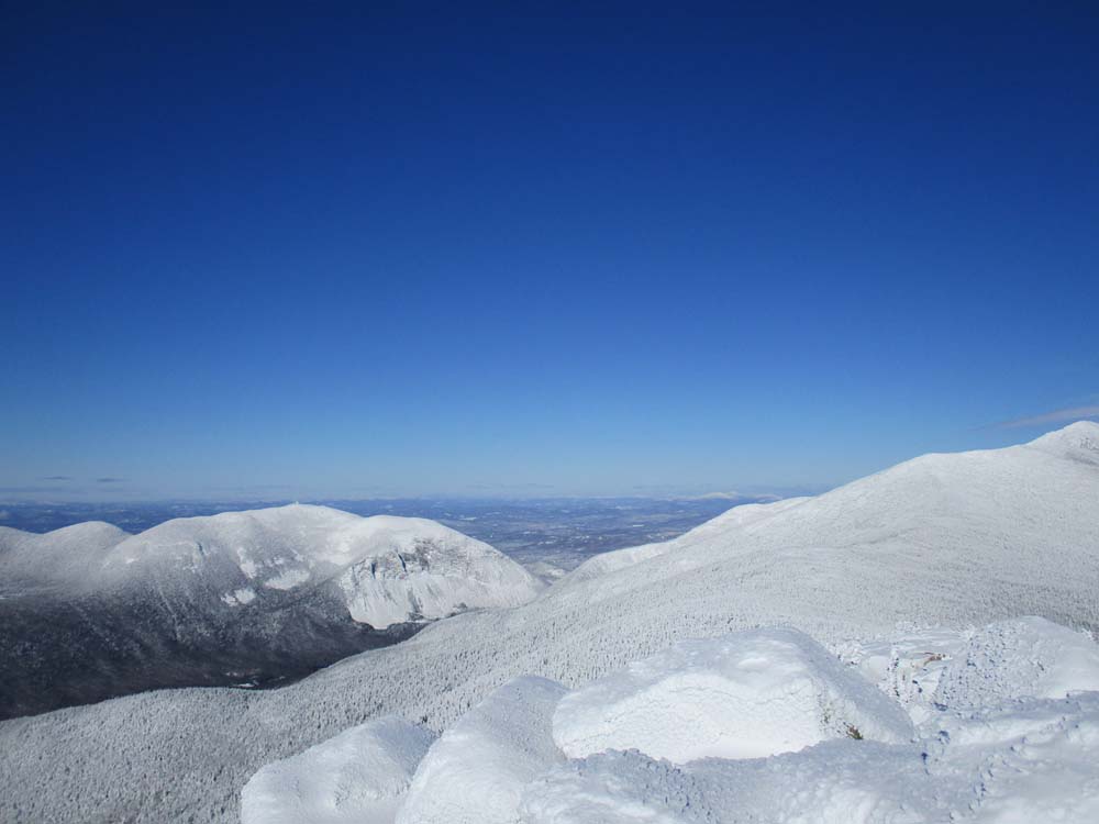
Franconia Notch as seen from Mt. Liberty

The Franconia Ridge Trail between Mt. Flume and Mt. Liberty
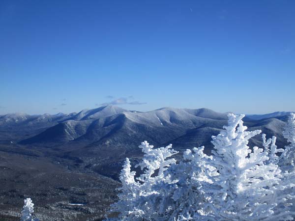
The Hancocks as seen from Mt. Flume
Directions to trailhead: Take Interstate 93 north from Lincoln to the Basin. Walk south down the bike path - just prior to reaching a grassy, old road on the right (where the bike path gets close to the highway), start the bushwhack on the left. After crossing a brook, an old logging road can be found a bit to the left, eventually meeting up with the hairpin turn in the Liberty Spring Trail
Back to Mt. Liberty Profile
Back to Mt. Flume Profile
|