Home
States
Colorado
Connecticut
Maine
Massachusetts
New Hampshire
New York
Rhode Island
Utah
Vermont
View All
Lists
NE 4,000 Footers
NE 100 Highest
NH 4,000 Footers
NH 100 Highest
NH 52 With A View
NH Belknap Range
NH Ossipee 10
Links
Trail Conditions
Trip Log
Sunrises
Sunsets
About
|
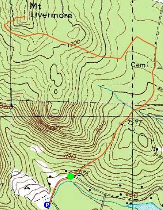
Mt. Livermore
Holderness, NH
Trailheads, measurements, times, distances, and maps are all approximate and relative to the hike(s) as shown below.
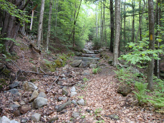
The eroded Old Highway
Route: Old Highway, Prescott Trail, Crawford-Ridgepole Trail, (Mt. Livermore), Crawford-Ridgepole Trail, Prescott Trail, Old Highway
The Old Highway was quite eroded and somewhat muddy with some running water. The Prescott Trail was muddy down low, but otherwise just damp. The rain generally held out, with only a few sprinkles.
| Hike Ratings |
|
Getting To Trailhead: |
Moderate |
| Destination: |
Mt. Livermore |
|
Length: |
Moderate |
|
Steepness: |
Moderate |
|
Navigation: |
Easy |
|
Views: |
Excellent |
|
Crowds: |
Minimal |
|
| Hike Stats |
|
Date Hiked: |
Friday, May 20, 2011 |
| Time to Trailhead: |
00:03 |
| Parking Elevation: |
590' |
| Destination: |
Mt. Livermore |
| Time Elapsed: |
00:46 |
| Trailhead Elevation: |
585' |
| Summit Elevation: |
1,500' |
| Distance: |
2.3 miles |
| Vertical Gain: |
1,015' |
|
|
| Hike Time Elapsed: |
01:42 |
| Hike Vertical Gain: |
1,115' |
|
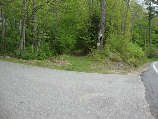
The Old Highway trailhead off Route 113
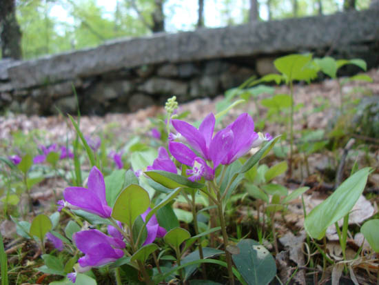
Fringed Polygala next to the Prescott Cemetary
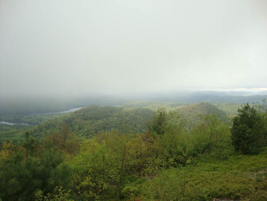
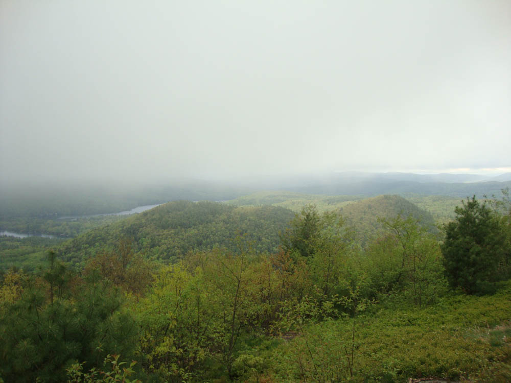
Looking at Cotton Mountain from Mt. Livermore

Directions to trailhead: From Route 25 in Holderness, take Route 113 East past the Squam Lakes Natural Science Center. The small roadside parking lot and Cotton Mountain Trail trailhead will be on the left shortly thereafter. The Old Highway trailhead is a short roadwalk east.
Back to Mt. Livermore Profile
|