Home
States
Colorado
Connecticut
Maine
Massachusetts
New Hampshire
New York
Rhode Island
Utah
Vermont
View All
Lists
NE 4,000 Footers
NE 100 Highest
NH 4,000 Footers
NH 100 Highest
NH 52 With A View
NH Belknap Range
NH Ossipee 10
Links
Trail Conditions
Trip Log
Sunrises
Sunsets
About
|
Mt. Livermore
Holderness, NH
Trailheads, measurements, times, distances, and maps are all approximate and relative to the hike(s) as shown below.
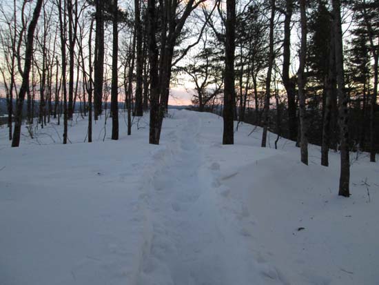
The Crawford Ridgepole Trail near the summit of Mt. Livermore
Route: Old Mountain Road, Crawford-Ridgepole Trail, (Mt. Livermore), Crawford-Ridgepole Trail, Old Mountain Road
Old Mountain Erode was a little bony in a few places, but otherwise good snowshoeing. A few small slush patches had generally frozen over.
Crawford Ridgepole to Livermore had some large drifts, but snowshoe track was generally preserved. No tracks heading northbound.
Just enough snow on this terrain to make snowshoes an easier endeavor than trying to bareboot.
Lakes mostly snow/ice covered at this point.
| Hike Ratings |
|
Getting To Trailhead: |
Easy |
| Destination: |
Mt. Livermore |
|
Length: |
Easy |
|
Steepness: |
Moderate |
|
Navigation: |
Easy |
|
Views: |
Excellent |
|
Crowds: |
Minimal |
|
| Hike Stats |
|
Date Hiked: |
Monday, December 16, 2013 |
| Parking Elevation: |
920' |
| Destination: |
Mt. Livermore |
| Time Elapsed: |
00:25 |
| Trailhead Elevation: |
920' |
| Summit Elevation: |
1,500' |
| Vertical Gain: |
580' |
|
|
| Hike Time Elapsed: |
00:34 |
| Hike Vertical Gain: |
580' |
|
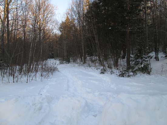
The Old Mountain Road trailhead
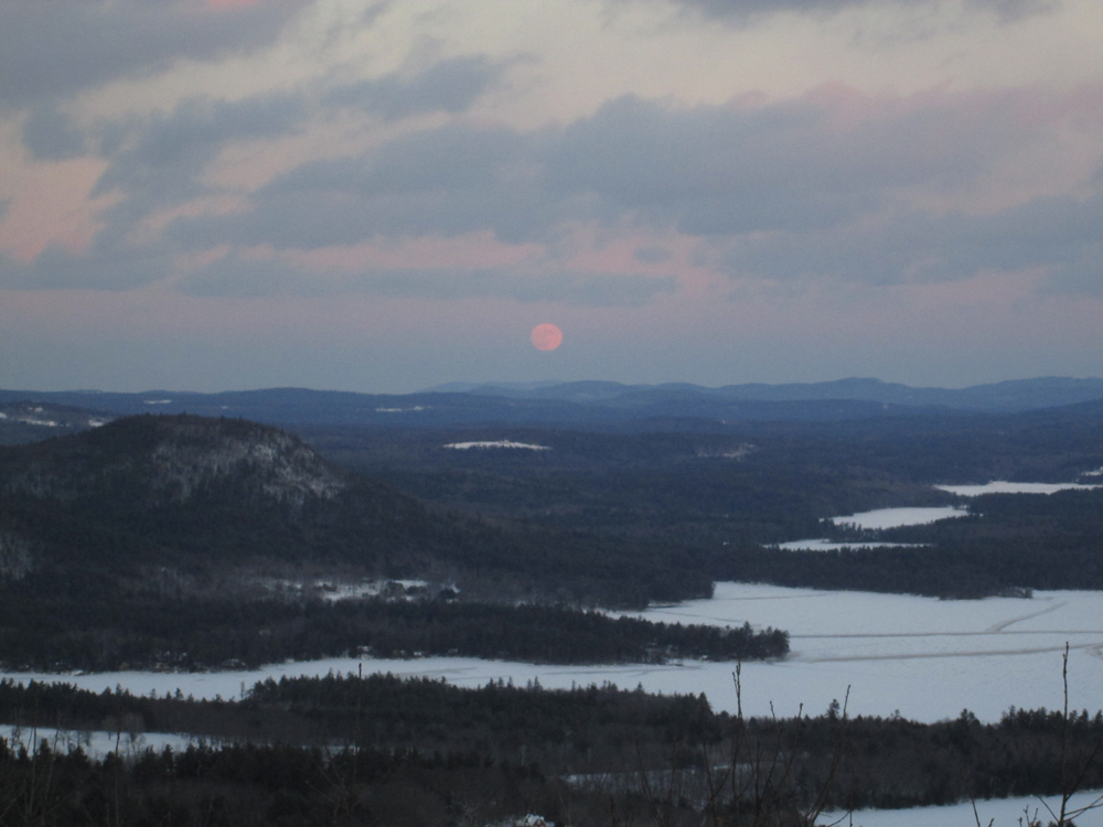
The moonrise south of East Rattlesnake as seen from Mt. Livermore
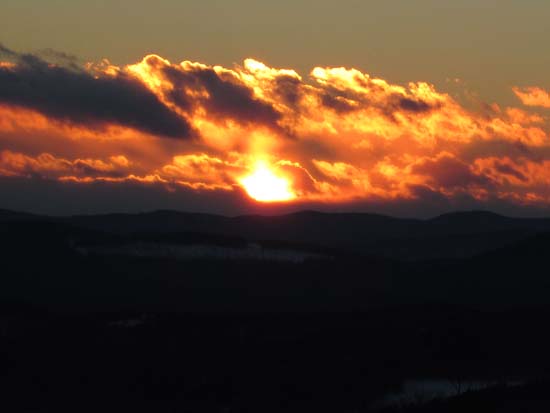
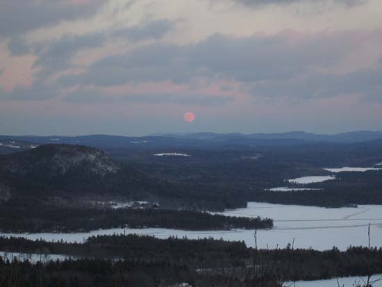
The sunset from Mt. Livermore
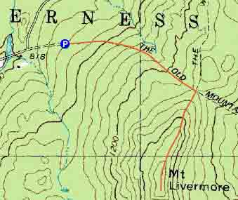

Directions to trailhead: From Route 25 in Holderness, take Route 175 northwest, then take a right onto Perch Pond Road. Take a right onto Mountain Road. At the end of the maintained road, there is room to park at the turnaround. Continue on foot up the road.
Back to Mt. Livermore Profile
|