Home
States
Colorado
Connecticut
Maine
Massachusetts
New Hampshire
New York
Rhode Island
Utah
Vermont
View All
Lists
NE 4,000 Footers
NE 100 Highest
NH 4,000 Footers
NH 100 Highest
NH 52 With A View
NH Belknap Range
NH Ossipee 10
Links
Trail Conditions
Trip Log
Sunrises
Sunsets
About
|
Mt. Livermore
Holderness, NH
Trailheads, measurements, times, distances, and maps are all approximate and relative to the hike(s) as shown below.
The Crawford Ridgepole Trail
Route: Old Mountain Road, Crawford-Ridgepole Trail, (Mt. Livermore), Crawford-Ridgepole Trail, Old Mountain Road
Old Mountain Road was broken out by skiers and snowmobilers, however it was still soft enough to warrant snowshoes. While tracks continued down the other side, no tracks headed northbound on Crawford Ridgepole.
Crawford Ridgepole to Mt. Livermore had seen traffic from skis and one snowshoer, but was otherwise still not well consolidated, so snowshoes needed.
Snowpack is probably 2 to 3 feet.
| Hike Ratings |
|
Getting To Trailhead: |
Easy |
| Destination: |
Mt. Livermore |
|
Length: |
Easy |
|
Steepness: |
Moderate |
|
Navigation: |
Easy |
|
Views: |
Excellent |
|
Crowds: |
Minimal |
|
| Hike Stats |
|
Date Hiked: |
Friday, February 27, 2015 |
| Parking Elevation: |
920' |
| Destination: |
Mt. Livermore |
| Time Elapsed: |
00:16 |
| Trailhead Elevation: |
920' |
| Summit Elevation: |
1,500' |
| Vertical Gain: |
580' |
|
|
| Hike Time Elapsed: |
00:45 |
| Hike Vertical Gain: |
580' |
|
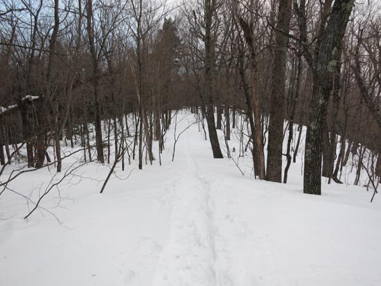
The Old Mountain Road trailhead
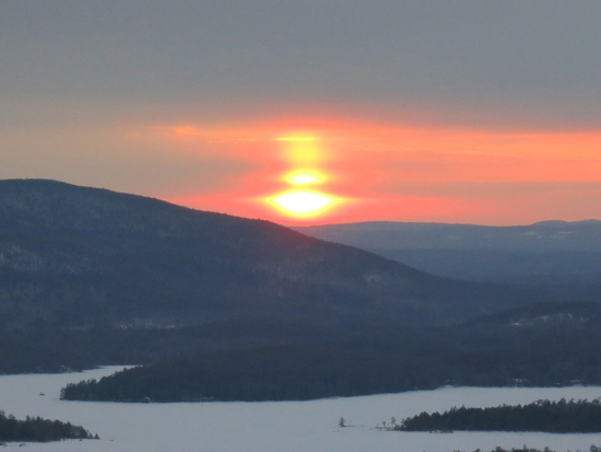
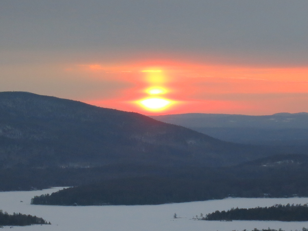
The sunrise from Mt. Livermore
Directions to trailhead: From Route 25 in Holderness, take Route 175 northwest, then take a right onto Perch Pond Road. Take a right onto Mountain Road. At the end of the maintained road, there is room to park at the turnaround. Continue on foot up the road.
Back to Mt. Livermore Profile
|