Home
States
Colorado
Connecticut
Maine
Massachusetts
New Hampshire
New York
Rhode Island
Utah
Vermont
View All
Lists
NE 4,000 Footers
NE 100 Highest
NH 4,000 Footers
NH 100 Highest
NH 52 With A View
NH Belknap Range
NH Ossipee 10
Links
Trail Conditions
Trip Log
Sunrises
Sunsets
About
|
Mt. Livermore
Holderness, NH
Trailheads, measurements, times, distances, and maps are all approximate and relative to the hike(s) as shown below.
The Crawford Ridgepole Trail
Route: Old Mountain Road, Crawford-Ridgepole Trail, (Mt. Livermore), Crawford-Ridgepole Trail, Old Mountain Road
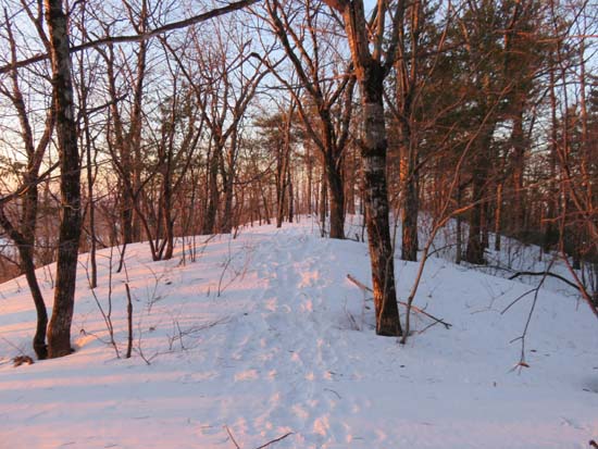
Postholers did damage on these trails as well unfortunately. When temperatures get above freezing and there's deep snowpack, you're going to sink if not wearing snowshoes! Subsequently, when temperatures drop, your postholes remain frozen in place, resulting in dangerous walking for those who use the trails thereafter.
The dusting of snow the other day was enough to conceal the frozen postholes, making for lots of painful surprises. Old Mountain Road is wide enough that one can sort of take a wide berth in snowshoes and avoid the bareboot damage.
Overall, the snowpack is still 18-36" deep with one or two short stretches on the ridge that will melt out before long due to being wind scoured (much deeper snow just beyond those areas).
| Hike Ratings |
|
Getting To Trailhead: |
Easy |
| Destination: |
Mt. Livermore |
|
Length: |
Easy |
|
Steepness: |
Moderate |
|
Navigation: |
Easy |
|
Views: |
Excellent |
|
Crowds: |
Minimal |
|
| Hike Stats |
|
Date Hiked: |
Tuesday, March 24, 2015 |
| Parking Elevation: |
920' |
| Destination: |
Mt. Livermore |
| Time Elapsed: |
00:15 |
| Trailhead Elevation: |
920' |
| Summit Elevation: |
1,500' |
| Vertical Gain: |
580' |
|
|
| Hike Time Elapsed: |
00:47 |
| Hike Vertical Gain: |
580' |
|
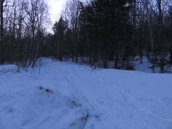
The Old Mountain Road trailhead
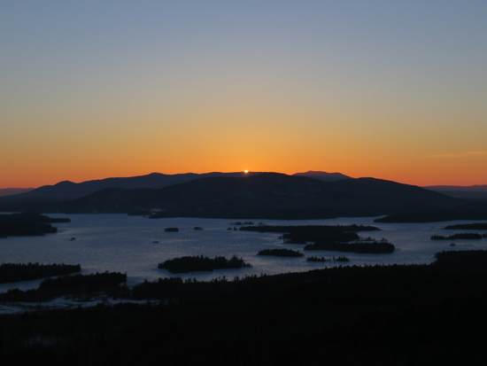
The sunrise from Mt. Livermore
Directions to trailhead: From Route 25 in Holderness, take Route 175 northwest, then take a right onto Perch Pond Road. Take a right onto Mountain Road. At the end of the maintained road, there is room to park at the turnaround. Continue on foot up the road.
Back to Mt. Livermore Profile
|

