Home
States
Colorado
Connecticut
Maine
Massachusetts
New Hampshire
New York
Rhode Island
Utah
Vermont
View All
Lists
NE 4,000 Footers
NE 100 Highest
NH 4,000 Footers
NH 100 Highest
NH 52 With A View
NH Belknap Range
NH Ossipee 10
Links
Trail Conditions
Trip Log
Sunrises
Sunsets
About
|
Mt. Livermore
Holderness, NH
Trailheads, measurements, times, distances, and maps are all approximate and relative to the hike(s) as shown below.
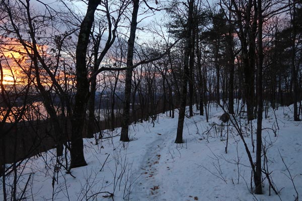
The Crawford Ridgepole Trail
Route: Old Mountain Road, Crawford-Ridgepole Trail, (Mt. Livermore), Crawford-Ridgepole Trail, Old Mountain Road
Very thankful that someone snowshoed this route yesterday after some barebooters had been up, so the snowshoe track set up overnight rather than a bunch of postholes. Frozen granular surfaces this morning. Still plenty of snowpack. Saw snowshoe tracks heading northeast up the logging road off Old Mountain Road. The other side of Old Mountain Road looks beat up from barebooters.
| Hike Ratings |
|
Getting To Trailhead: |
Easy |
| Destination: |
Mt. Livermore |
|
Length: |
Easy |
|
Steepness: |
Moderate |
|
Navigation: |
Easy |
|
Views: |
Excellent |
|
Crowds: |
Minimal |
|
| Hike Stats |
|
Date Hiked: |
Wednesday, December 28, 2016 |
| Parking Elevation: |
920' |
| Destination: |
Mt. Livermore |
| Time Elapsed: |
00:16 |
| Trailhead Elevation: |
920' |
| Summit Elevation: |
1,500' |
| Vertical Gain: |
580' |
|
|
| Hike Time Elapsed: |
00:51 |
| Hike Vertical Gain: |
580' |
|
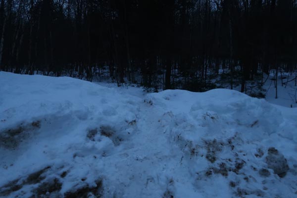
The Old Mountain Road trailhead
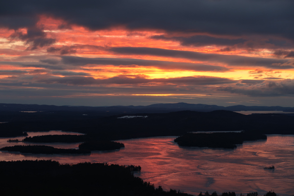
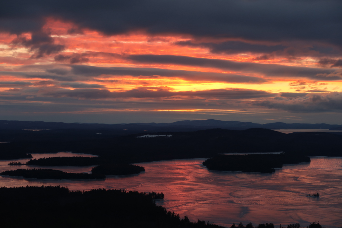
The sunrise from Mt. Livermore
Directions to trailhead: From Route 25 in Holderness, take Route 175 northwest, then take a right onto Perch Pond Road. Take a right onto Mountain Road. At the end of the maintained road, there is room to park at the turnaround. Continue on foot up the road.
Back to Mt. Livermore Profile
|