Home
States
Colorado
Connecticut
Maine
Massachusetts
New Hampshire
New York
Rhode Island
Utah
Vermont
View All
Lists
NE 4,000 Footers
NE 100 Highest
NH 4,000 Footers
NH 100 Highest
NH 52 With A View
NH Belknap Range
NH Ossipee 10
Links
Trail Conditions
Trip Log
Sunrises
Sunsets
About
|
Mt. Livermore
Holderness, NH
Trailheads, measurements, times, distances, and maps are all approximate and relative to the hike(s) as shown below.
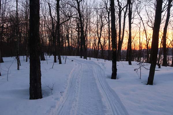
The Crawford Ridgepole Trail
Route: Old Mountain Road, Crawford-Ridgepole Trail, (Mt. Livermore), Crawford-Ridgepole Trail, Old Mountain Road
Old Mountain Road was initially snowmobiled, but it looks like they got stuck and had to turn around. Apart from that, Old Mountain Road was frozen but soft and required snowshoes. Some Rhodes Scholar barebooted up in the soft powder yesterday, resulting in frozen foot deep postholes. On behalf of my sore ankles, thank you.
Crawford Ridgepole was snowmobiled yesterday after the barebooter (snowmobiles ascended from the Route 113 side). While on the plus side the tracks filled in the postholes, the downside was that the summit viewpoint area got ripped up (they tore up the soil trying to turnaround).
Snowshoe tracks headed toward Webster and bareboot tracks headed toward Cotton.
Overall, there was generally 1 to 2 feet of snowpack. Old Mountain Road may get slushy/wet pretty soon though.
| Hike Ratings |
|
Getting To Trailhead: |
Easy |
| Destination: |
Mt. Livermore |
|
Length: |
Easy |
|
Steepness: |
Moderate |
|
Navigation: |
Easy |
|
Views: |
Excellent |
|
Crowds: |
Minimal |
|
| Hike Stats |
|
Date Hiked: |
Monday, April 3, 2017 |
| Parking Elevation: |
920' |
| Destination: |
Mt. Livermore |
| Time Elapsed: |
00:16 |
| Trailhead Elevation: |
920' |
| Summit Elevation: |
1,500' |
| Vertical Gain: |
580' |
|
|
| Hike Time Elapsed: |
00:38 |
| Hike Vertical Gain: |
580' |
|
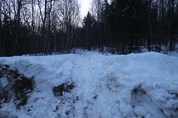
The Old Mountain Road trailhead
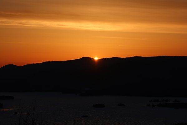
The sunrise from Mt. Livermore
Directions to trailhead: From Route 25 in Holderness, take Route 175 northwest, then take a right onto Perch Pond Road. Take a right onto Mountain Road. At the end of the maintained road, there is room to park at the turnaround. Continue on foot up the road.
Back to Mt. Livermore Profile
|

