Home
States
Colorado
Connecticut
Maine
Massachusetts
New Hampshire
New York
Rhode Island
Utah
Vermont
View All
Lists
NE 4,000 Footers
NE 100 Highest
NH 4,000 Footers
NH 100 Highest
NH 52 With A View
NH Belknap Range
NH Ossipee 10
Links
Trail Conditions
Trip Log
Sunrises
Sunsets
About
|
Mt. Livermore
Holderness, NH
Trailheads, measurements, times, distances, and maps are all approximate and relative to the hike(s) as shown below.
The Crawford Ridgepole Trail
Route: Old Mountain Road, Crawford-Ridgepole Trail, (Mt. Livermore), Crawford-Ridgepole Trail, Old Mountain Road
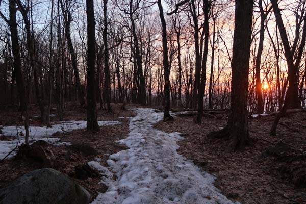
Old Mountain Erode was a hodgepodge of spring conditions this morning. With the cold temperatures overnight, the snow/slush/ice had set up, allowing for Microspiking. There are some extended areas of ice, mud, and running water. When temperatures warm up in a few hours, snowshoes may be the better option, as the unconsolidated snowpack on the sides of the trail is around a foot deep, whereas the mud and slush on the trail could be almost as deep.
Crawford Ridgepole Trail to the summit is probably about 2/3rds snow free at this point, with the remaining portions being thin and/or small patches. Not surprising, considering the inversion that zapped the ridge's snowpack before the late winter storms.
Squam Lake is still frozen.
| Hike Ratings |
|
Getting To Trailhead: |
Easy |
| Destination: |
Mt. Livermore |
|
Length: |
Easy |
|
Steepness: |
Moderate |
|
Navigation: |
Easy |
|
Views: |
Excellent |
|
Crowds: |
Minimal |
|
| Hike Stats |
|
Date Hiked: |
Thursday, April 12, 2018 |
| Parking Elevation: |
920' |
| Destination: |
Mt. Livermore |
| Time Elapsed: |
00:15 |
| Trailhead Elevation: |
920' |
| Summit Elevation: |
1,500' |
| Vertical Gain: |
580' |
|
|
| Hike Time Elapsed: |
00:45 |
| Hike Vertical Gain: |
580' |
|
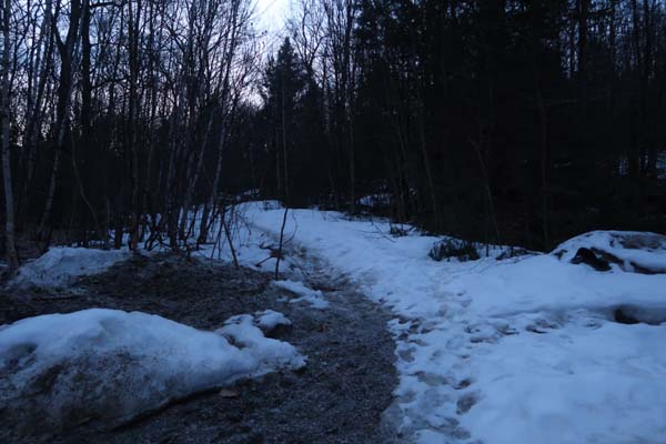
The Old Mountain Road trailhead
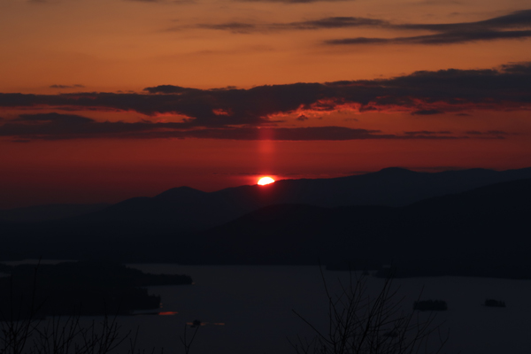
The sunrise from Mt. Livermore
Directions to trailhead: From Route 25 in Holderness, take Route 175 northwest, then take a right onto Perch Pond Road. Take a right onto Mountain Road. At the end of the maintained road, there is room to park at the turnaround. Continue on foot up the road.
Back to Mt. Livermore Profile
|

