Home
States
Colorado
Connecticut
Maine
Massachusetts
New Hampshire
New York
Rhode Island
Utah
Vermont
View All
Lists
NE 4,000 Footers
NE 100 Highest
NH 4,000 Footers
NH 100 Highest
NH 52 With A View
NH Belknap Range
NH Ossipee 10
Links
Trail Conditions
Trip Log
Sunrises
Sunsets
About
|
Mt. Livermore
Holderness, NH
Trailheads, measurements, times, distances, and maps are all approximate and relative to the hike(s) as shown below.
The Crawford Ridgepole Trail
Route: Old Mountain Road, Crawford-Ridgepole Trail, (Mt. Livermore), Crawford-Ridgepole Trail, Old Mountain Road
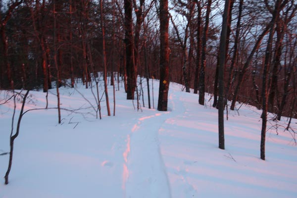
Snowshoe conditions have returned. Though I hear there was more snow up in the Whites, there's a half foot of new snow here. It's dense, but not too sticky, so it's doing a decent job adhering to the ice underneath.
The wind also distributed the snow in a fashion that has obscured the previous footbed. As a result, the packed out trail deviates from the pre-storm version, meaning that barebooters are going to find some very unpleasant, deep postholing. Snowshoes are needed.
Both sides of Old Mountain Road are broken out by snowshoes, but not well packed. Crawford Ridgepole has some drifting, in excess of 6 feet deep.
| Hike Ratings |
|
Getting To Trailhead: |
Easy |
| Destination: |
Mt. Livermore |
|
Length: |
Easy |
|
Steepness: |
Moderate |
|
Navigation: |
Easy |
|
Views: |
Excellent |
|
Crowds: |
Minimal |
|
| Hike Stats |
|
Date Hiked: |
Thursday, February 14, 2019 |
| Parking Elevation: |
920' |
| Destination: |
Mt. Livermore |
| Time Elapsed: |
00:20 |
| Trailhead Elevation: |
920' |
| Summit Elevation: |
1,500' |
| Vertical Gain: |
580' |
|
|
| Hike Time Elapsed: |
00:45 |
| Hike Vertical Gain: |
580' |
|
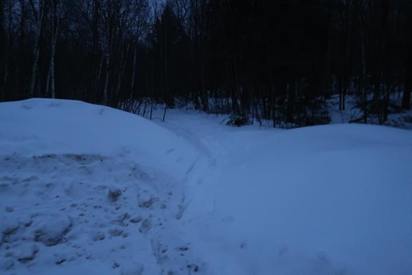
The Old Mountain Road trailhead
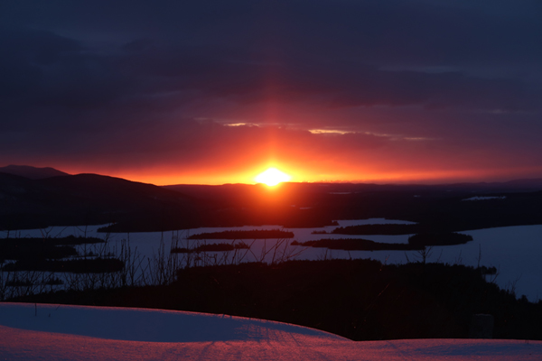
The sunrise from Mt. Livermore
Directions to trailhead: From Route 25 in Holderness, take Route 175 northwest, then take a right onto Perch Pond Road. Take a right onto Mountain Road. At the end of the maintained road, there is room to park at the turnaround. Continue on foot up the road.
Back to Mt. Livermore Profile
|

