Home
States
Colorado
Connecticut
Maine
Massachusetts
New Hampshire
New York
Rhode Island
Utah
Vermont
View All
Lists
NE 4,000 Footers
NE 100 Highest
NH 4,000 Footers
NH 100 Highest
NH 52 With A View
NH Belknap Range
NH Ossipee 10
Links
Trail Conditions
Trip Log
Sunrises
Sunsets
About
|
Mt. Mack
Gilford, NH
Trailheads, measurements, times, distances, and maps are all approximate and relative to the hike(s) as shown below.
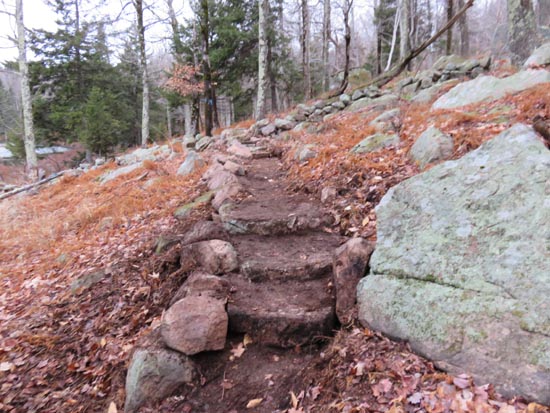
The Round Pond-Piper Link
Route: Fire Road, Round Pond Trail, Round Pond-Piper Link, Red Trail, Red-Orange Trail
Trails were damp from the overnight rain. The sun did not come out as forecast, so things may still be damp tomorrow morning. While there are still some puddles on the eastern shore of Round Pond, the trails have dried out a bit since the Thursday into Friday downpour.
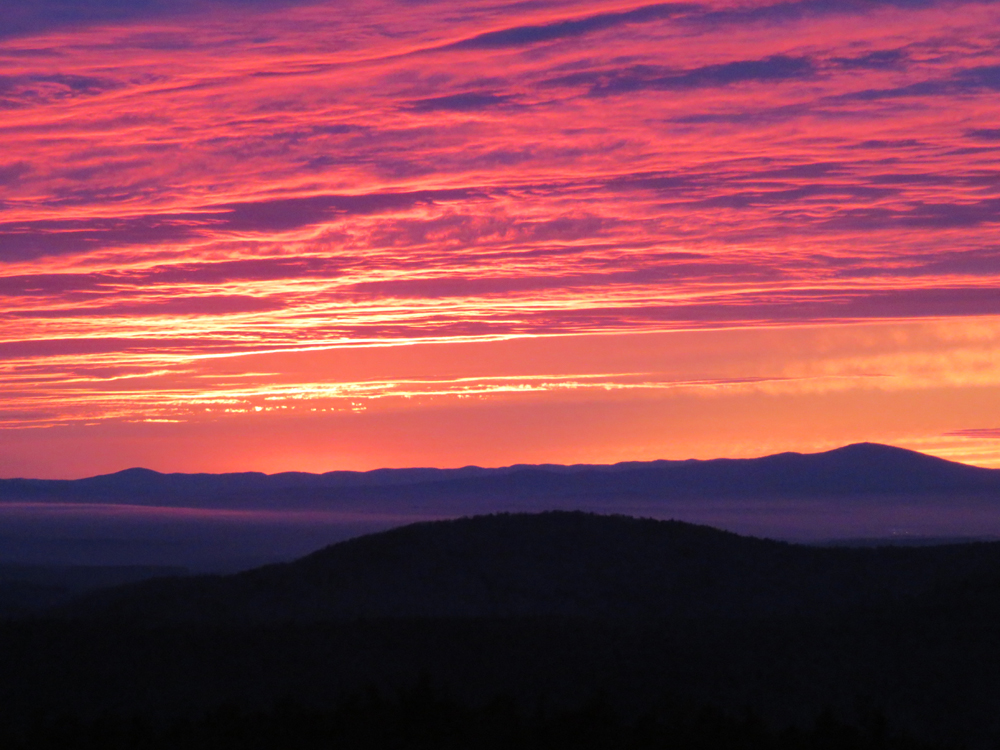
Very nice sunset from Mt. Mack.
| Hike Ratings |
|
Getting To Trailhead: |
Easy |
| Destination: |
Mt. Mack |
|
Length: |
Moderate |
|
Steepness: |
Moderate |
|
Navigation: |
Easy |
|
Views: |
Excellent |
|
Crowds: |
Minimal |
|
| Hike Stats |
|
Date Hiked: |
Sunday, November 22, 2015 |
| Parking Elevation: |
1,100' |
| Destination: |
Mt. Mack |
| Trailhead Elevation: |
1,100' |
| Summit Elevation: |
2,001' |
| Vertical Gain: |
976' |
|
|
| Hike Vertical Gain: |
1,107' |
|
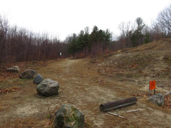
The East Gilford-Fire Road trailhead at the end of Wood Road
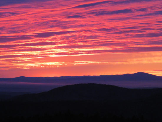
The sunset from Mt. Mack
Directions to trailhead: From Route 11A East past Gunstock, then take a right onto Bickford Road, then take a left onto Wood Road, soon bearing left to go uphill around the last house. The Fire Road-East Gilford Trail trailhead will be at the back of the 5 car parking lot at the end of the road.
Back to Mt. Mack Profile
|