Home
States
Colorado
Connecticut
Maine
Massachusetts
New Hampshire
New York
Rhode Island
Utah
Vermont
View All
Lists
NE 4,000 Footers
NE 100 Highest
NH 4,000 Footers
NH 100 Highest
NH 52 With A View
NH Belknap Range
NH Ossipee 10
Links
Trail Conditions
Trip Log
Sunrises
Sunsets
About
|
Mt. Madison
Bean's Grant, NH, Chandler's Purchase, NH
Trailheads, measurements, times, distances, and maps are all approximate and relative to the hike(s) as shown below.
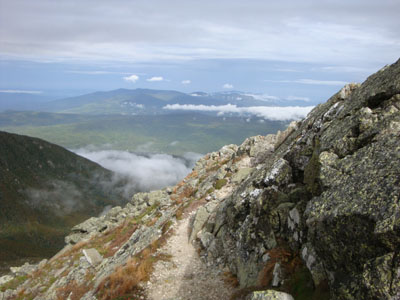
Looking down the Airline
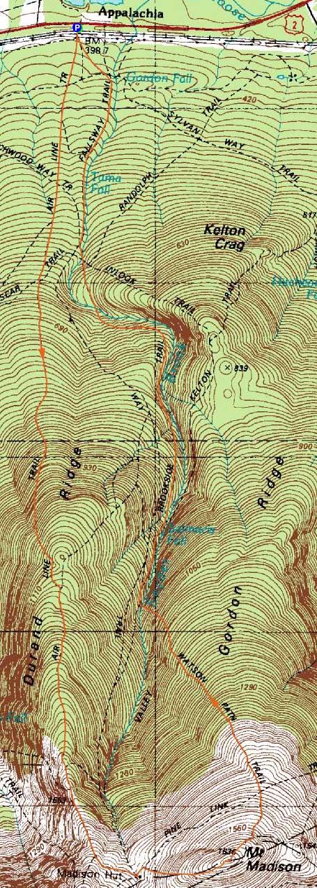
Route: Air Line, Air Line Cutoff, Valley Way, Osgood Trail, (Mt. Madison), Watson Path, Brookside, Valley Way
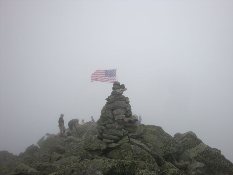
Though having hiked in the Whites for two previous Septembers, I had not yet taken part in Flags on the 48 - a September 11th memorial. My first time would be on Mt. Madison.
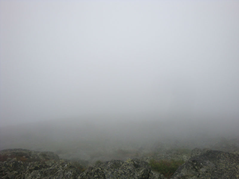
While it was raining at the start of the hike on the Air Line, things cleared up as we climbed. Reaching tree line, we had excellent northern views. However, looking uphill, we saw fog rolling over the ridge. Sure enough, by the time we reached the hut, the peaks had been swallowed.
After picking up some goodies at the hut, we continued up to the summit of Mt. Madison. After raising the flag, we spent about three hours on the summit - though we didn't have views, it was still a good time, for a great cause.
For the descent, we chose the Watson Path. The above treeline portion didn't seem quite as steep as the Osgood Trail from the hut, however it did last much longer - while there might be better views on a good day, the traprock footing results in slow hiking.
Below treeline, the trail dropped off steeply with poor footing, including a few scrambles. Crossing the brook, we took Brookside down to Valley Way, checking out a few cascades along the way. While there were some nice portions of this trail, other parts had pretty poor footing.
Despite the weather, it was a good hike. God Bless America.
| Hike Ratings |
|
Getting To Trailhead: |
Easy |
| Destination: |
Mt. Madison |
|
Length: |
Moderate |
|
Steepness: |
Very Difficult |
|
Navigation: |
Easy |
|
Views: |
Minimal (due to weather) |
|
Crowds: |
Heavy |
|
| Hike Stats |
|
Date Hiked: |
Monday, September 12, 2009 |
| Hike Commenced: |
7:15 AM |
| Parking Elevation: |
1,311' |
| Destination: |
Mt. Madison |
| Ascent Commenced: |
7:15 AM |
| Summit Reached: |
11:08 AM |
| Time Elapsed: |
03:53 |
| Trailhead Elevation: |
1,311' |
| Summit Elevation: |
5,367' |
| Vertical Gain: |
4,131' |
|
|
| Hike Ended: |
5:54 PM |
| Hike Time Elapsed: |
10:39 |
| Hike Vertical Gain: |
4,251' |
|
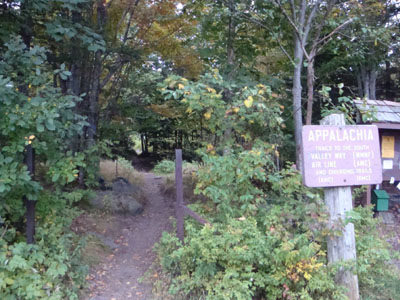
The Air Line/Valley Way trailhead at Appalachia
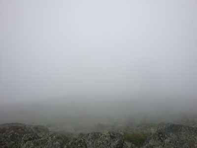
Looking into the fog from Mt. Madison
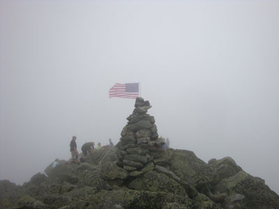
The flag on Mt. Madison


Directions to trailhead: Take US 2 West from Gorham to the Appalachia parking lot.
Back to Mt. Madison Profile
|