Home
States
Colorado
Connecticut
Maine
Massachusetts
New Hampshire
New York
Rhode Island
Utah
Vermont
View All
Lists
NE 4,000 Footers
NE 100 Highest
NH 4,000 Footers
NH 100 Highest
NH 52 With A View
NH Belknap Range
NH Ossipee 10
Links
Trail Conditions
Trip Log
Sunrises
Sunsets
About
|
Mt. Madison
Bean's Grant, NH, Chandler's Purchase, NH
Trailheads, measurements, times, distances, and maps are all approximate and relative to the hike(s) as shown below.
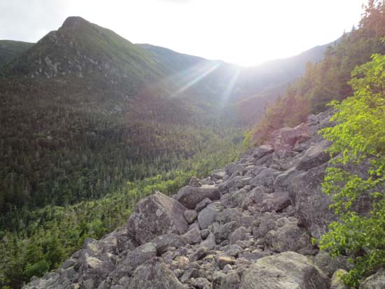
Looking up the Daniel Webster Scout Trail
Route: Great Gulf Trail, Great Gulf Link, Daniel Webster Scout Trail, Osgood Trail, Parapet Trail, Buttress Trail, Six Husbands Trail, Osgood Cutoff
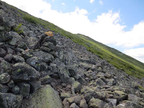
Trails were generally dry. Some running water and mud near where the Buttress Trail bottoms out and on the lower Six Husbands Trail.
Daniel Webster Scout Trail started off with good footing, but was increasingly rocky. Parapet had terrible footing, as did a good portion of the Buttress (which has the feeling of an abandoned trail in places). Hard to get a good rythm going on the Great Gulf Trail due to all of the stepover and duck under blowdowns.
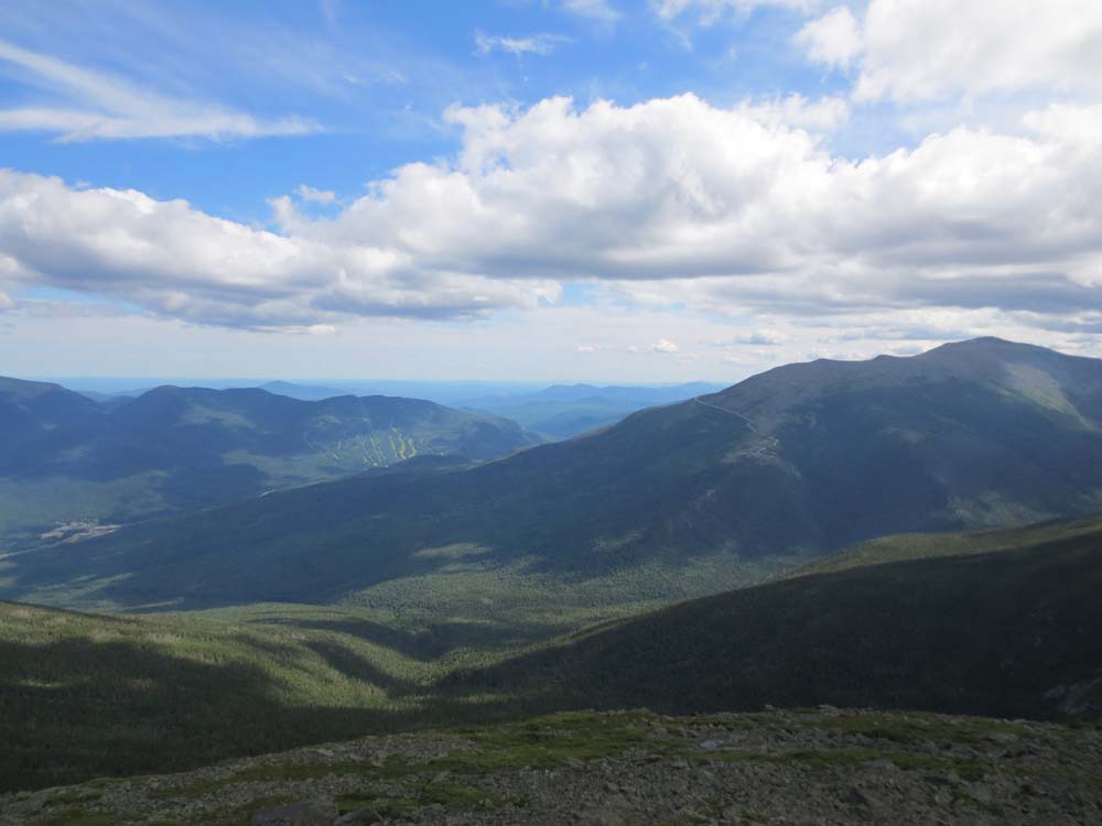
This loop is a one-and-done. Nice views, though.
| Hike Ratings |
|
Getting To Trailhead: |
Easy |
| Destination: |
Mt. Madison |
|
Length: |
Moderate |
|
Steepness: |
Very Difficult |
|
Navigation: |
Moderate |
|
Views: |
Excellent |
|
Crowds: |
Minimal |
|
| Hike Stats |
|
Date Hiked: |
Friday, July 20, 2012 |
| Parking Elevation: |
1,360' |
| Destination: |
Mt. Madison |
| Time Elapsed: |
03:12 |
| Trailhead Elevation: |
1,350' |
| Summit Elevation: |
5,367' |
| Vertical Gain: |
4,247' |
|
|
| Hike Time Elapsed: |
8:26 |
| Hike Vertical Gain: |
4,647' |
|
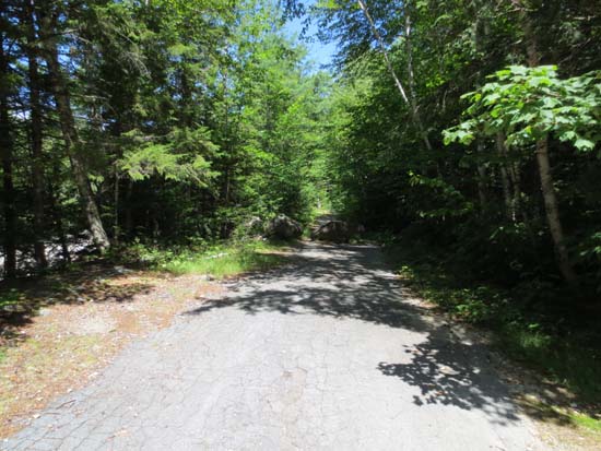
The Great Gulf Trail trailhead

Looking into the fog from Mt. Madison
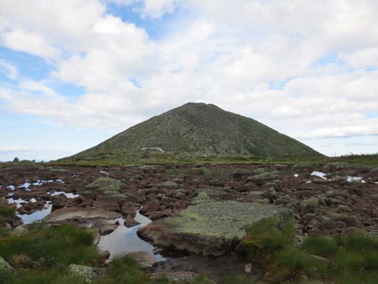
Star Lake and Mt. Madison
The lower Buttress Trail
Directions to trailhead: Take Route 16 north from Wildcat ski area. Just after passing the Camp Dodge entrance on the right, the Great Gulf WMNF fee parking lot entrance will be on the left. The trailhead is at the back of the parking lot.
Back to Mt. Madison Profile
|