Home
States
Colorado
Connecticut
Maine
Massachusetts
New Hampshire
New York
Rhode Island
Utah
Vermont
View All
Lists
NE 4,000 Footers
NE 100 Highest
NH 4,000 Footers
NH 100 Highest
NH 52 With A View
NH Belknap Range
NH Ossipee 10
Links
Trail Conditions
Trip Log
Sunrises
Sunsets
About
|
Mt. Major
Alton, NH
Trailheads, measurements, times, distances, and maps are all approximate and relative to the hike(s) as shown below.
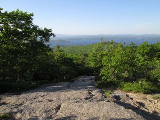
Looking down the Mt. Major Trail
Route: Mt. Major Trail, (Mt. Major), Mt. Major Trail
Trail was mostly dry (except that usual muddy area at the trailhead). Nice afternoon weather. Minimal, perhaps in part due to a breeze coming off the lake.
| Hike Ratings |
|
Getting To Trailhead: |
Easy |
| Destination: |
Mt. Major |
|
Length: |
Moderate |
|
Steepness: |
Difficult |
|
Navigation: |
Easy |
|
Views: |
Excellent |
|
Crowds: |
Moderate |
|
| Hike Stats |
|
Date Hiked: |
Tuesday, June 3, 2014 |
| Parking Elevation: |
585' |
| Destination: |
Mt. Major |
| Time Elapsed: |
00:29 |
| Trailhead Elevation: |
600' |
| Summit Elevation: |
1,786' |
| Distance: |
1.75 miles |
| Vertical Gain: |
1,211' |
|
|
| Hike Time Elapsed: |
01:05 |
| Hike Distance: |
3.5 miles |
| Hike Vertical Gain: |
1,276 |
|
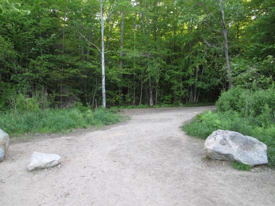
The Mt. Major Trail trailhead at the back of the Route 11 parking lot
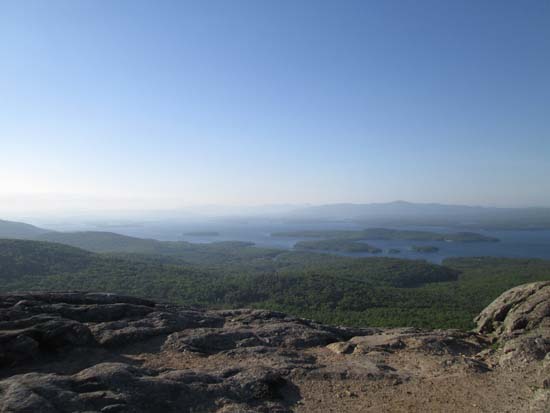
Looking at the Ossipee Mountains from Mt. Major
Directions to trailhead: Take Route 11 West (north in reality) from Alton Bay. Parking lot and trailhead are on the left after the blasted out section of Route 11.
Back to Mt. Major Profile
|

