Home
States
Colorado
Connecticut
Maine
Massachusetts
New Hampshire
New York
Rhode Island
Utah
Vermont
View All
Lists
NE 4,000 Footers
NE 100 Highest
NH 4,000 Footers
NH 100 Highest
NH 52 With A View
NH Belknap Range
NH Ossipee 10
Links
Trail Conditions
Trip Log
Sunrises
Sunsets
About
|
Mt. Major
Alton, NH
Trailheads, measurements, times, distances, and maps are all approximate and relative to the hike(s) as shown below.
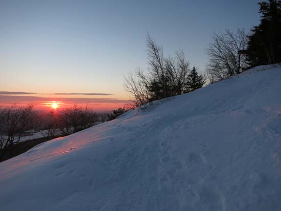
Looking up the Mt. Major Trail
Route: Boulder Loop, Beeline Trail, Mt. Major Trail, (Mt. Major), Mt. Major Trail
Ascended via Bee Line and descended via Mt. Major Trail. With the exception of some drifts up high, trails were generally packed powder. A few choppy areas on Bee Line (booted, so probably pretty awkward if attempting to snowshoe), as well as a few slippery areas on upper Mt. Major Trail due to buttsliders. Blue ice areas generally pretty well covered. I was able to bareboot the ascent without issue, but light traction would be helpful for descent. The Brook Trail and Boulder Loop Trail also appear to be decently packed out for booting. Snowpack is generally about 6-10 inches.
| Hike Ratings |
|
Getting To Trailhead: |
Easy |
| Destination: |
Mt. Major |
|
Length: |
Moderate |
|
Steepness: |
Difficult |
|
Navigation: |
Moderate |
|
Views: |
Excellent |
|
Crowds: |
Minimal |
|
| Hike Stats |
|
Date Hiked: |
Friday, January 16, 2015 |
| Parking Elevation: |
590' |
| Destination: |
Mt. Major |
| Time Elapsed: |
00:26 |
| Trailhead Elevation: |
600' |
| Summit Elevation: |
1,786' |
| Vertical Gain: |
1,196' |
|
|
| Hike Time Elapsed: |
01:06 |
| Hike Vertical Gain: |
1,211' |
|
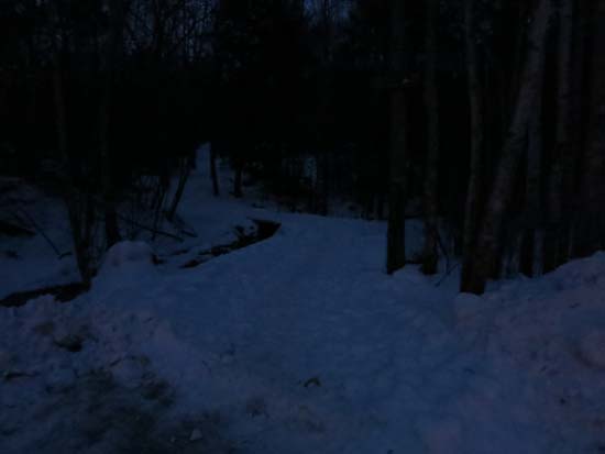
The Boulder Loop Trail trailhead at the back of the Route 11 parking lot
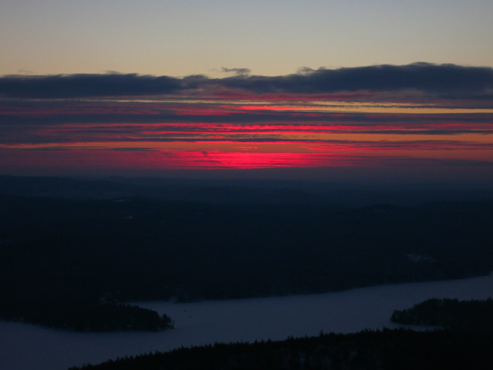
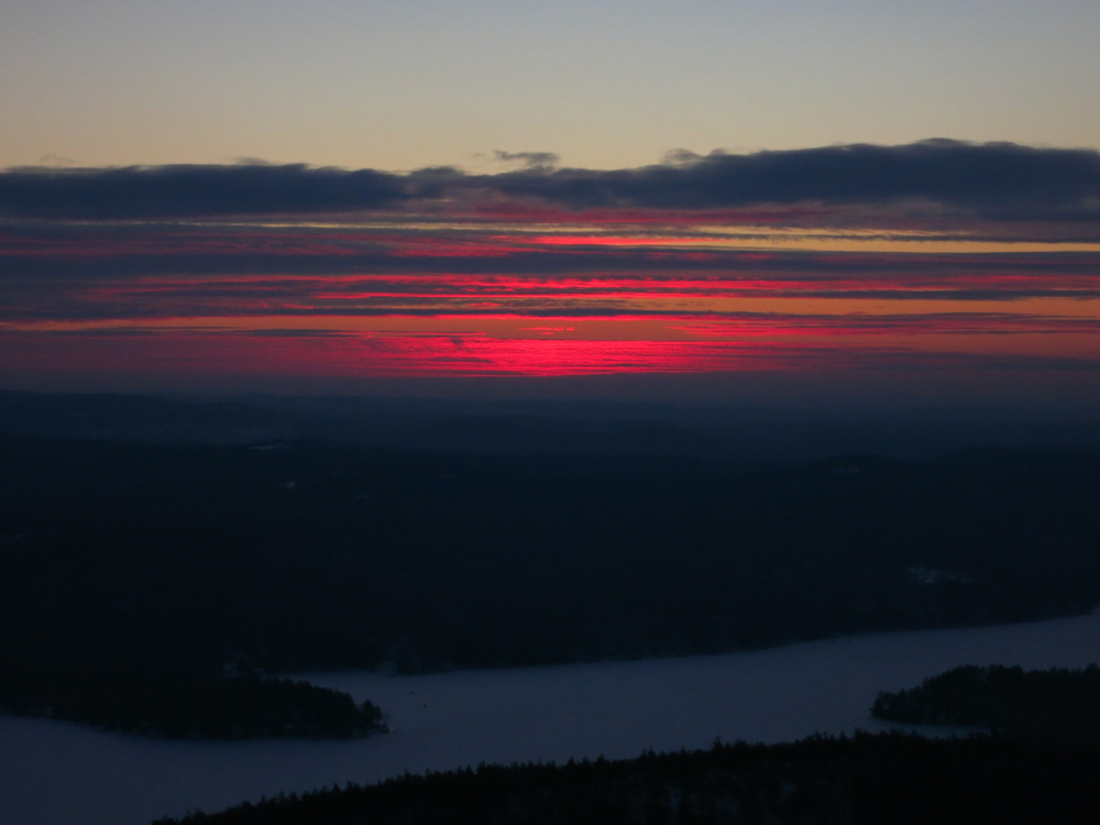
The sunrise from Mt. Major

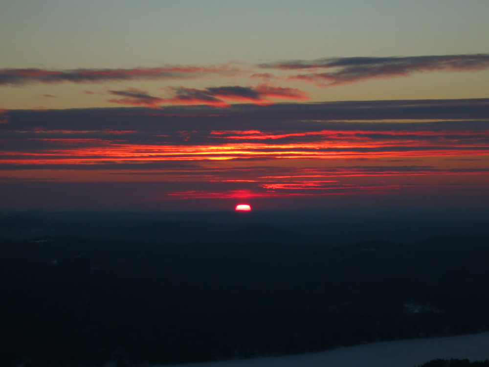
The sunrise from Mt. Major
Directions to trailhead: Take Route 11 West (north in reality) from Alton Bay. Parking lot and trailhead are on the left after the blasted out section of Route 11.
Back to Mt. Major Profile
|