Home
States
Colorado
Connecticut
Maine
Massachusetts
New Hampshire
New York
Rhode Island
Utah
Vermont
View All
Lists
NE 4,000 Footers
NE 100 Highest
NH 4,000 Footers
NH 100 Highest
NH 52 With A View
NH Belknap Range
NH Ossipee 10
Links
Trail Conditions
Trip Log
Sunrises
Sunsets
About
|
Mt. Meader
Chatham, NH, Beans Purchase, NH
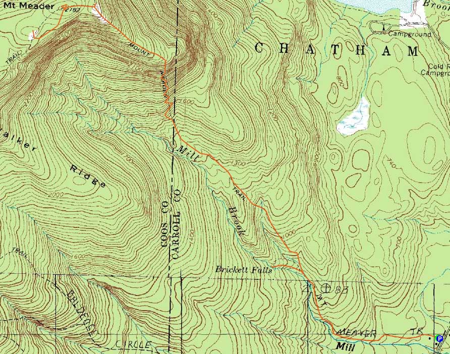
Trailheads, measurements, times, distances, and maps are all approximate and relative to the hike(s) as shown below.
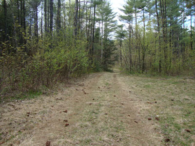
Looking down the Mt. Meader Trail
Route: Mt. Meader Trail, Meader Ridge Trail, bushwhack, (Mt. Meader), bushwhack, Meader Ridge Trail, spur path, (Mt. Meader South Peak), spur path, Meader Ridge Trail, Mt. Meader Trail, spur trail, (Brickett Falls), spur path, Mt. Meader Trail
Since it looked like the incoming rain/snow would hold off for a few more hours, I opted to head over to Evans Notch and check out Mt. Meader.
The first portion of the Mt. Meader Trail was essentially a roadwalk. Shortly after passing the Brickett Falls spur junction, it became a bit more trail-like - and not particularly well marked. Lacking blazes and a well defined footbed in places, the trail could certainly be tricky to follow after leaves or snow fall.
The trail eventually started to steepen up as it reached some switchbacks, eventually getting a bit rougher up high with some rocky and ledgy areas, complemented with minor scrambles.
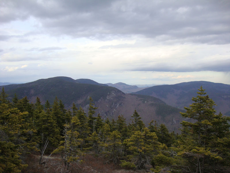
Reaching the east peak, there were some nice views to the north, east, and south. Taking a left onto the Meader Ridge Trail, I dropped into the col (seeing my first patch of snow), then climbed out to the on-trail highpoint, marked with a small cairn. I then bushwhacked into the woods a bit, perhaps finding some slightly higher ground, and lots of moose droppings.
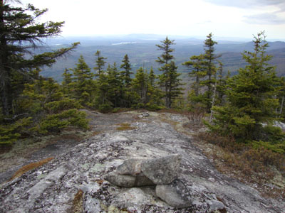
Back on the trail, I headed southbound for a few more tenths of a mile, passing some on trail vistas and eventually reaching a spur path to a south-looking ledge view area, which would probably be a nice place to eat lunch during a longer hike. The rain was starting, though, so I turned around and headed back to the Mt. Meader Trail, taking a short side trip to a nice north-looking vista just beyond on the trail junction along the ridge. Back on trail, I descended to the Brickett Falls junction, then followed that to the falls, which could be quite neat in times of higher water levels.
| Hike Ratings |
|
Getting To Trailhead: |
Easy |
| Destination: |
Mt. Meader |
|
Length: |
Moderate |
|
Steepness: |
Very Difficult |
|
Navigation: |
Moderate |
|
Views: |
Excellent |
|
Crowds: |
Minimal |
|
| Hike Stats |
|
Date Hiked: |
Monday, April 26, 2010 |
| Hike Commenced: |
4:03 PM |
| Parking Elevation: |
521' |
| Destination: |
Mt. Meader |
| Ascent Commenced: |
4:03 PM |
| Summit Reached: |
5:43 PM |
| Time Elapsed: |
01:40 |
| Trailhead Elevation: |
521' |
| Summit Elevation: |
2,782' |
| Vertical Gain: |
2,381' |
|
|
| Hike Ended: |
7:46 PM |
| Hike Time Elapsed: |
03:43 |
| Hike Vertical Gain: |
2,722' |
|
Mt. Meader Trail trailhead
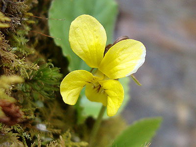
A yellow violet on the Mt. Meader Trail
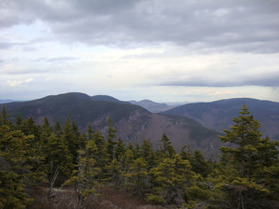
Looking up Evans Notch from the east peak of Mt. Meader
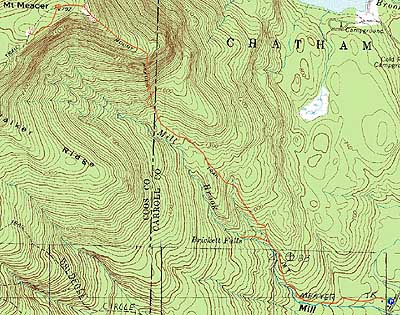

Directions to trailhead: Take Route 113 North from Fryeburg, Maine. About half a mile past the Baldface Circle Trail trailhead, and about half a mile before Stone House Road, the Mt. Meader Trail trailhead will be on the left. There is limited room to park off Route 113 in a small field without blocking the private logging roads.
Back to Mt. Meader Profile
|