Home
States
Colorado
Connecticut
Maine
Massachusetts
New Hampshire
New York
Rhode Island
Utah
Vermont
View All
Lists
NE 4,000 Footers
NE 100 Highest
NH 4,000 Footers
NH 100 Highest
NH 52 With A View
NH Belknap Range
NH Ossipee 10
Links
Trail Conditions
Trip Log
Sunrises
Sunsets
About
|
Mt. Moosilauke, Mt. Moosilauke (South Peak)
Benton, NH
Trailheads, measurements, times, distances, and maps are all approximate and relative to the hike(s) as shown below.
Looking up the Moosilauke Carriage Road on the way to Mt. Moosilauke
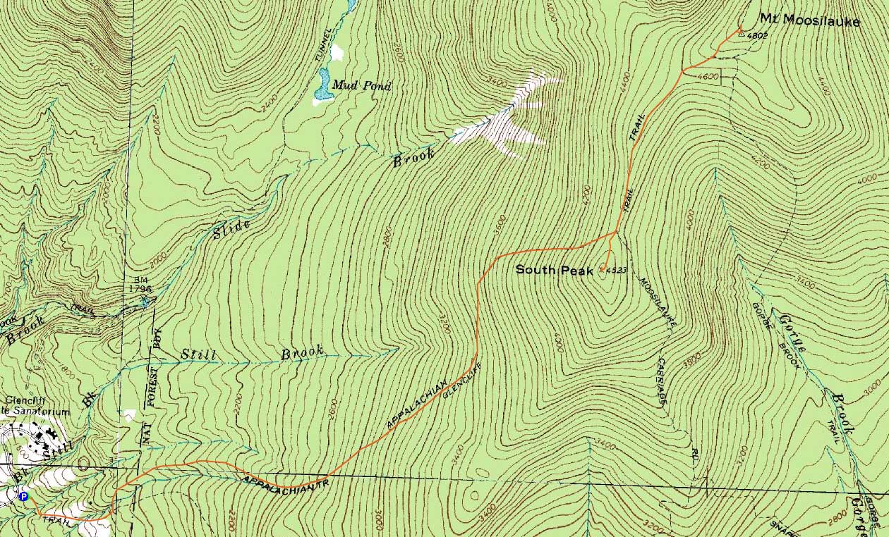
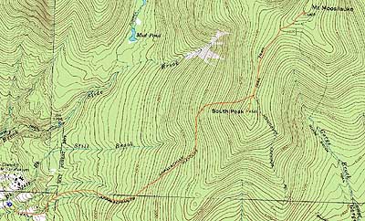
Route: Glencliff Trail, Moosilauke Carriage Road, (Mt. Moosilauke), Moosilauke Carriage Road, spur trail, (Mt. Moosilauke South Peak), spur trail, Glencliff Trail
Starting at the trailhead under cloudy skies, there was little snow. Past the fields and into the woods, snow depths increased. Upon reaching the steeps, there was so much snow that I had to duck down to climb to the Carriage Road.
After swapping out a wet base layer, courtesy the snow-covered branches, I headed up the Carriage Road - which quickly became drifted over. The sun started to break out, making things quite pleasant for a few minutes. This didn't last, however, as the fog moved in and dropped visibility to 25-50 feet.
After waiting at the summit for a good half an hour, I decided there wouldn't be any views for me today. On the way back, I opted to head over to the south peak. The first portion of this trail was terrible - 2 to 3 feet of airway above the snow. Thought I had slight views from the summit, the area was generally dominated by fog.
I took my time on the descent, cutting a particularly vexing blowdown.
| Hike Ratings |
|
Getting To Trailhead: |
Easy |
| Destination: |
Mt. Moosilauke |
|
Length: |
Moderate |
|
Steepness: |
Difficult |
|
Navigation: |
Difficult |
|
Views: |
Minimal (due to weather) |
|
Crowds: |
Minimal |
| Destination: |
Mt. Moosilauke (South Peak) |
|
Length: |
Moderate |
|
Steepness: |
Difficult |
|
Navigation: |
Difficult |
|
Views: |
Moderate (due to weather) |
|
Crowds: |
Minimal |
|
| Hike Stats |
|
Date Hiked: |
Sunday, February 28, 2010 |
| Hike Commenced: |
8:41 AM |
| Parking Elevation: |
1,530' |
| Destination: |
Mt. Moosilauke |
| Ascent Commenced: |
8:41 AM |
| Summit Reached: |
11:32 AM |
| Time Elapsed: |
02:51 |
| Trailhead Elevation: |
1,490' |
| Summit Elevation: |
4,802' |
| Distance: |
3.9 miles |
| Vertical Gain: |
3,317' |
| Destination: |
Mt. Moosilauke (South Peak) |
| Ascent Commenced: |
12:04 PM |
| Summit Reached: |
12:48 PM |
| Time Elapsed: |
00:44 |
| Trailhead Elevation: |
1,490' |
| Summit Elevation: |
4,802' |
| Vertical Gain: |
103' |
|
|
| Hike Ended: |
3:25 PM |
| Hike Time Elapsed: |
06:44 |
| Hike Vertical Gain: |
3,445' |
|
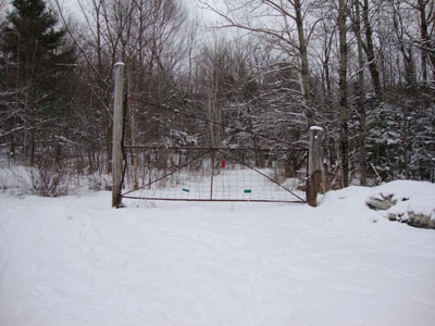
The Glencliff Trail trailhead at the edge of the parking area
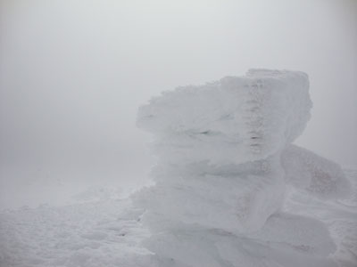
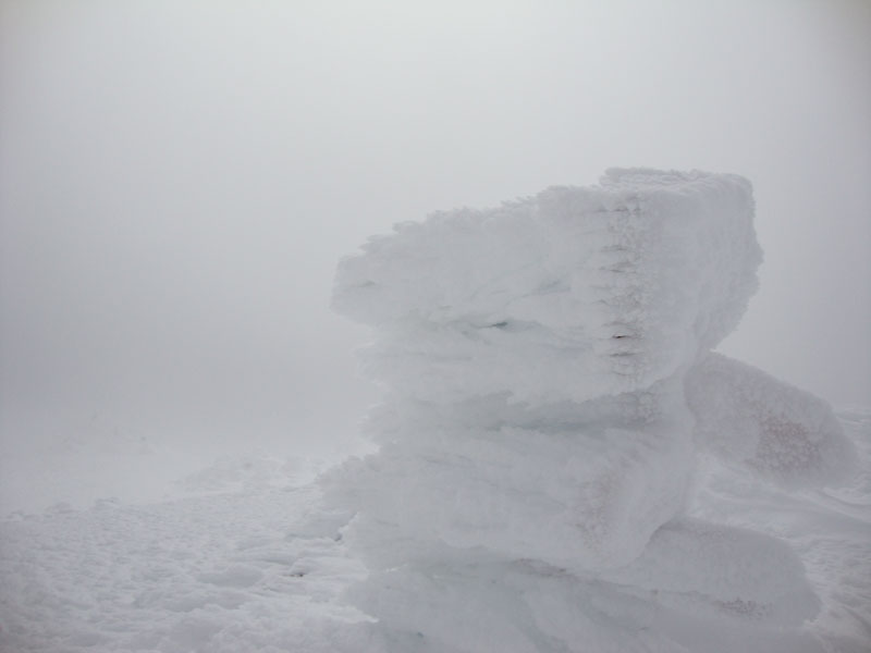
Looking into the clouds from the Mt. Moosilauke summit
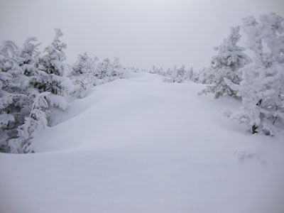
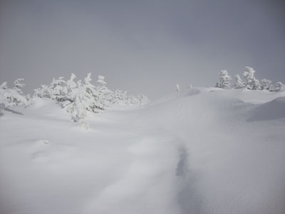
Looking up the drifted trail to the south peak
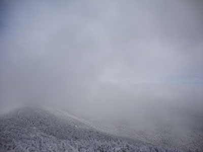
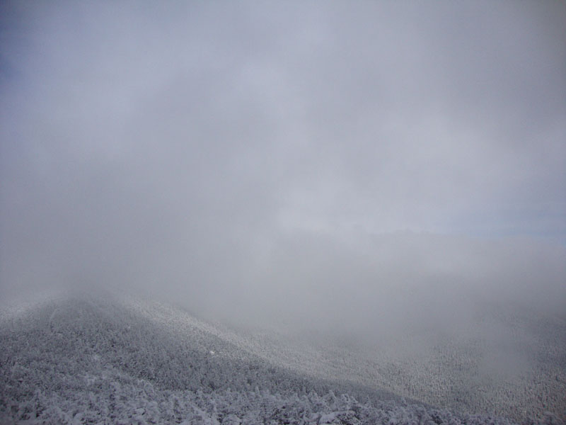
Brief views into the gorge from near the summit of Mt. Moosilauke's South peak

Directions to trailhead: Take Route 25 West from Plymouth to Glencliff. Take a right onto High Street. The Glencliff Trail parking area will be a few minutes up this road on the right. The trail can be accessed either from the back of the parking lot or a few hundred feet downhill.
Back to Mt. Moosilauke Profile
Back to Mt. Moosilauke (South Peak) Profile
|