Home
States
Colorado
Connecticut
Maine
Massachusetts
New Hampshire
New York
Rhode Island
Utah
Vermont
View All
Lists
NE 4,000 Footers
NE 100 Highest
NH 4,000 Footers
NH 100 Highest
NH 52 With A View
NH Belknap Range
NH Ossipee 10
Links
Trail Conditions
Trip Log
Sunrises
Sunsets
About
|
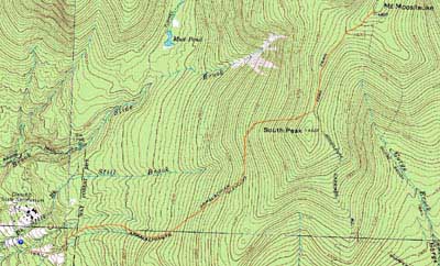
Mt. Moosilauke
Benton, NH
Trailheads, measurements, times, distances, and maps are all approximate and relative to the hike(s) as shown below.
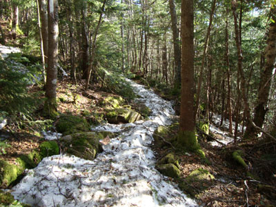
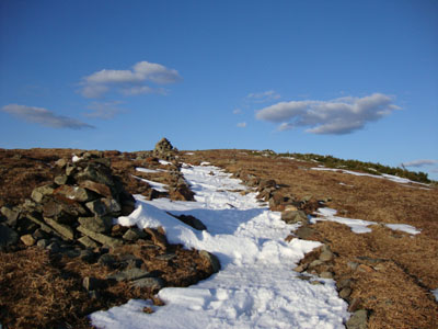
Looking down the Glencliff Trail on the way to the Mt. Moosilauke summit
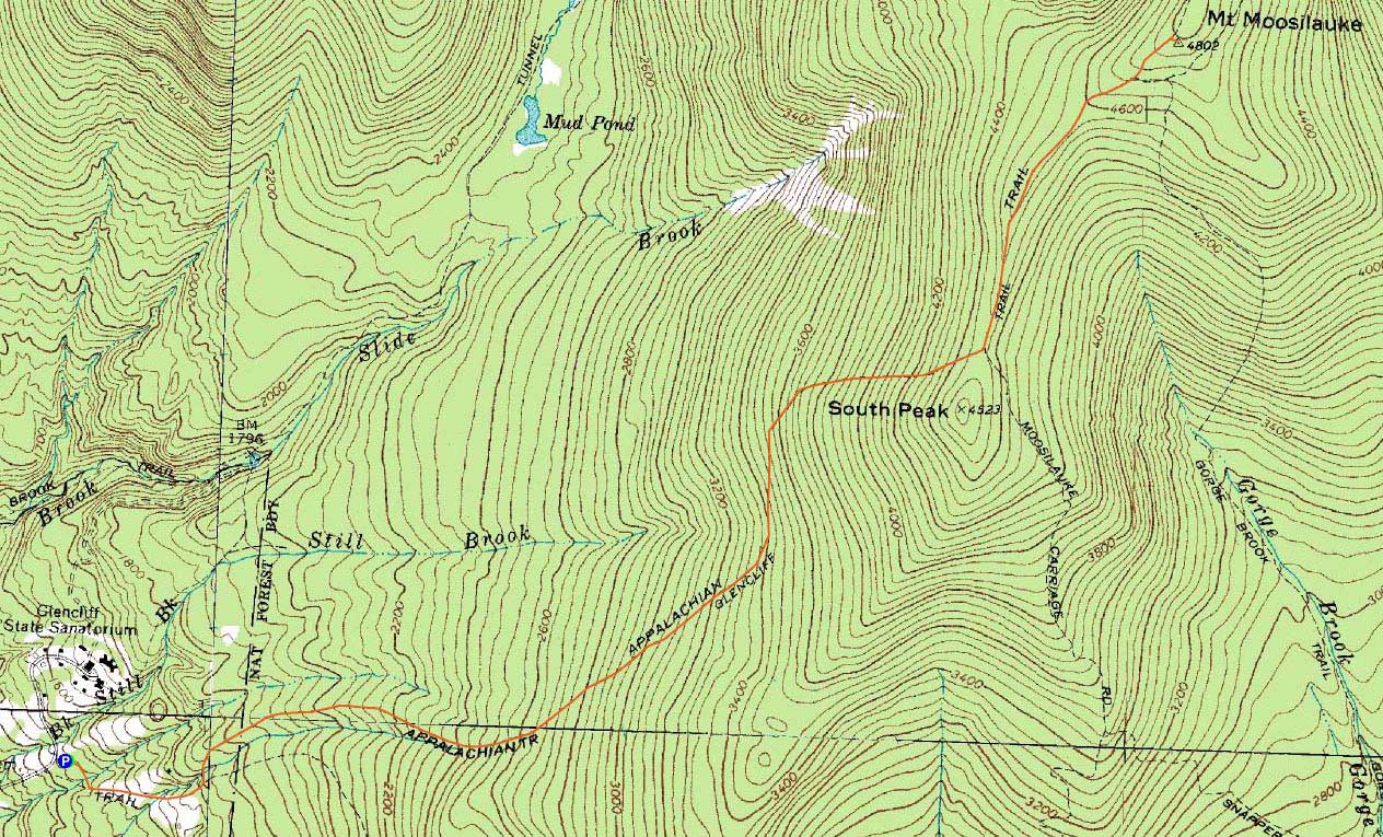
Route: Glencliff Trail, Moosilauke Carriage Road, (Mt. Moosilauke), Moosilauke Carriage Road, Glencliff Trail
With a nice weather forecast and a rare Tuesday night free, I opted to head over to Glencliff and hike Mt. Moosilauke.
The first mile or so of the Glencliff Trail was snow free with a few wildflowers. Above there, monorail started develop. Reaching the steeps, I donned my snowshoes for the climb to the ridge. While there was still a good four feet of snow or so on the upper portion of the trail, the snow line was down by a good four or five feet from a few weeks earlier.
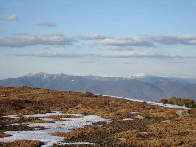
Walking into the alpine zone, I took off my snowshoes and barebooted the rest of the way to the summit. From there, I had excellent views (albeit hazy to the west) in all directions. While it looked like it would be a good sunset, I didn't want to wait around an hour for it.
The descent went smoothly and I was able to make it back to the trailhead without needing a headlamp.
| Hike Ratings |
|
Getting To Trailhead: |
Easy |
| Destination: |
Mt. Moosilauke |
|
Length: |
Moderate |
|
Steepness: |
Difficult |
|
Navigation: |
Easy |
|
Views: |
Excellent |
|
Crowds: |
Minimal |
|
| Hike Stats |
|
Date Hiked: |
Tuesday, April 13, 2010 |
| Hike Commenced: |
4:28 PM |
| Parking Elevation: |
1,530' |
| Destination: |
Mt. Moosilauke |
| Ascent Commenced: |
4:28 PM |
| Summit Reached: |
6:35 PM |
| Time Elapsed: |
02:07 |
| Trailhead Elevation: |
1,490' |
| Summit Elevation: |
4,802' |
| Distance: |
3.9 miles |
| Vertical Gain: |
3,317' |
|
|
| Hike Ended: |
8:21 PM |
| Hike Time Elapsed: |
03:53 |
| Hike Vertical Gain: |
3,362' |
|
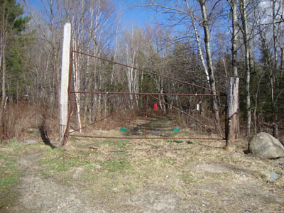
The Glencliff Trail trailhead at the edge of the parking area
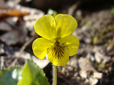
A yellow violet near the Glencliff Trail
Looking up the Moosilauke Carriage Road on the way to the Mt. Moosilauke summit

Looking at the Franconias and Presidentials from Mt. Moosilauke

Directions to trailhead: Take Route 25 West from Plymouth to Glencliff. Take a right onto High Street. The Glencliff Trail parking area will be a few minutes up this road on the right. The trail can be accessed either from the back of the parking lot or a few hundred feet downhill.
Back to Mt. Moosilauke Profile
|