Home
States
Colorado
Connecticut
Maine
Massachusetts
New Hampshire
New York
Rhode Island
Utah
Vermont
View All
Lists
NE 4,000 Footers
NE 100 Highest
NH 4,000 Footers
NH 100 Highest
NH 52 With A View
NH Belknap Range
NH Ossipee 10
Links
Trail Conditions
Trip Log
Sunrises
Sunsets
About
|
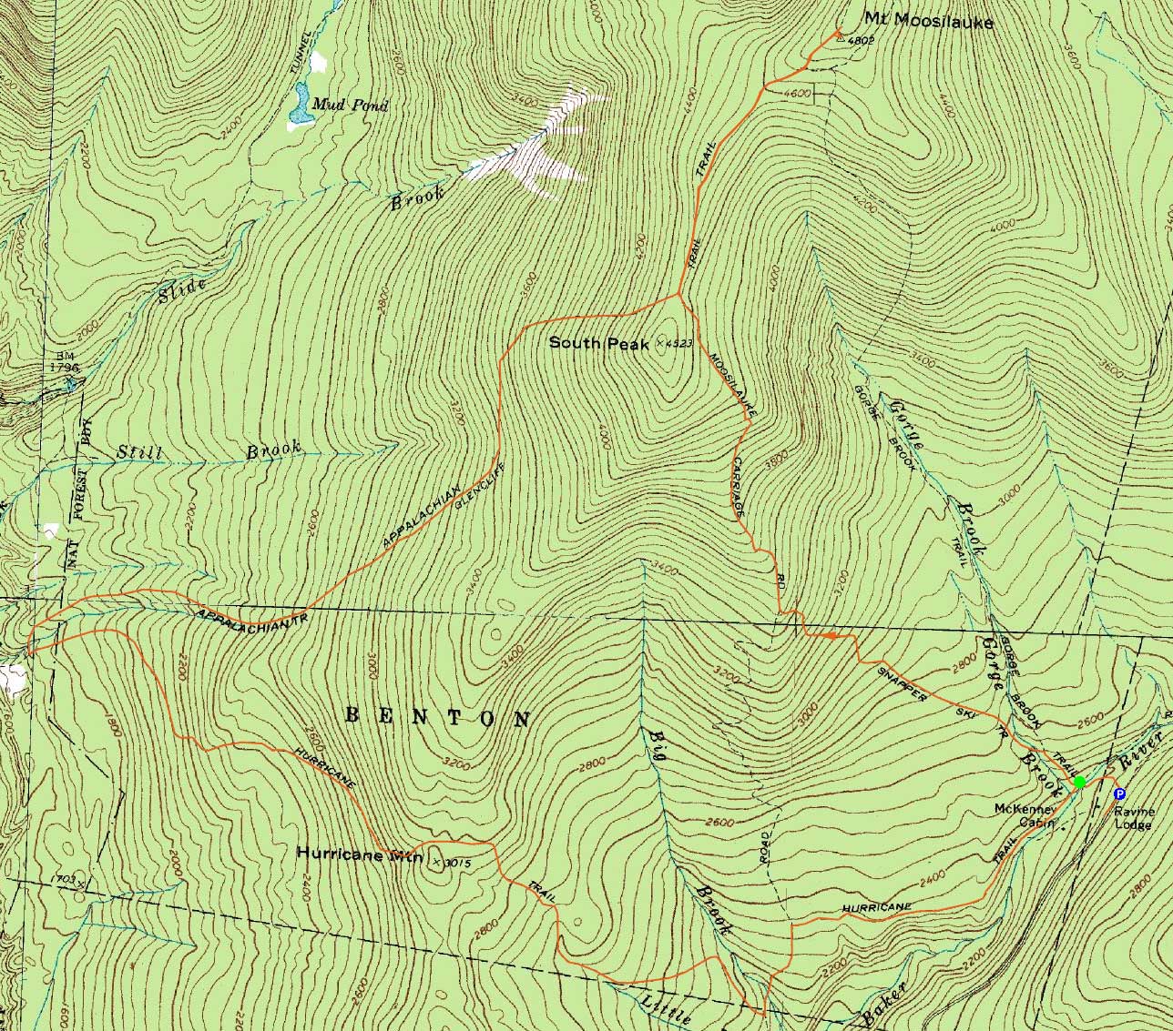
Mt. Moosilauke
Warren, NH, Woodstock, NH, Benton, NH
Trailheads, measurements, times, distances, and maps are all approximate and relative to the hike(s) as shown below.
Looking up the Carriage Trail
Route: Gorge Brook Trail, Snapper Trail, Moosilauke Carriage Road, (Mt. Moosilauke), Moosilauke Carriage Road, Glencliff Trail, Hurricane Trail, Gorge Brook Trail
For the ascent, we took the Snapper Trail up to the Carriage Road, on which there were some decent early fall colors. Morning fog and clouds moved away as we reached the summit, resulting in a nice extended stay in good temperatures.
For the descent, I headed down the Glencliff Trail, then back via the Hurricane Trail. The Glencliff side of this trail was rather grown in (though nice fall colors made up for it). From the height of land down, it was wet, slippery, and muddy. From the Carriage Road to Gorge Brook, it was smooth sailing.
| Hike Ratings |
|
Getting To Trailhead: |
Easy |
| Destination: |
Mt. Moosilauke |
|
Length: |
Moderate |
|
Steepness: |
Moderate |
|
Navigation: |
Easy |
|
Views: |
Excellent |
|
Crowds: |
Heavy |
|
| Hike Stats |
|
Date Hiked: |
Sunday, September 25, 2011 |
| Parking Elevation: |
2,500' |
| Destination: |
Mt. Moosilauke |
| Time Elapsed: |
2:00 |
| Trailhead Elevation: |
2,340' |
| Summit Elevation: |
4,802' |
| Vertical Gain: |
2,512' |
|
|
| Hike Time Elapsed: |
03:51 |
| Hike Vertical Gain: |
4,482' |
|
The Gorge Brook Trail trailhead at the end of the Class of 1982 Bridge
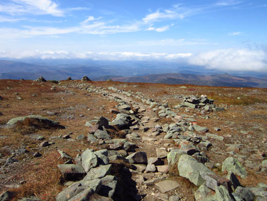
Looking down the Carriage Trail near the Mt. Moosilauke summit
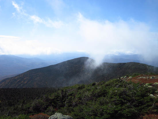
Looking at South Peak from the Mt. Moosilauke summit
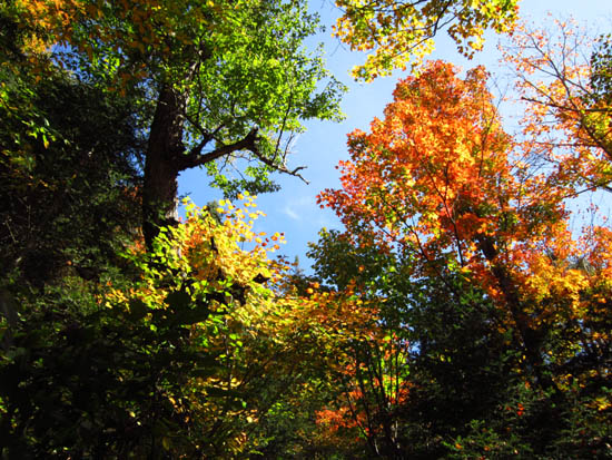
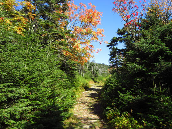
Foliage on the Hurricane Trail
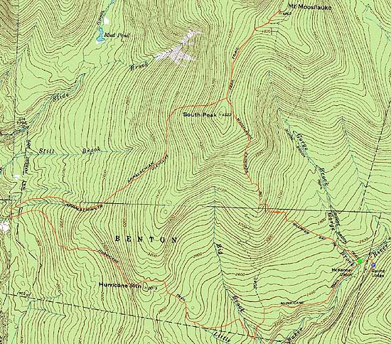

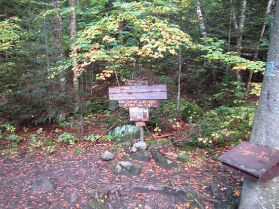
Directions to trailhead: Take Route 112 West to Route 118 south/west. Ravine Road will be on the right shortly after the height of land. Go down this dirt road and bear right. Limited parking available on the side of the road. Walk straight ahead past the kiosk, then take the first left, go left again, then go right across the bridge. The Gorge Brook Trail starts on the left thereafter.
Back to Mt. Moosilauke Profile
|