Home
States
Colorado
Connecticut
Maine
Massachusetts
New Hampshire
New York
Rhode Island
Utah
Vermont
View All
Lists
NE 4,000 Footers
NE 100 Highest
NH 4,000 Footers
NH 100 Highest
NH 52 With A View
NH Belknap Range
NH Ossipee 10
Links
Trail Conditions
Trip Log
Sunrises
Sunsets
About
|
Mt. Moosilauke
Benton, NH
Trailheads, measurements, times, distances, and maps are all approximate and relative to the hike(s) as shown below.
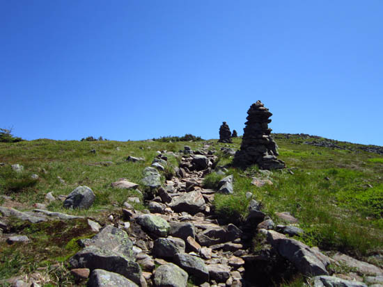
Looking up the Benton Trail near the summit
Route: Beaver Brook Trail, Benton Trail, (Mt. Moosilauke), Benton Trail, Beaver Brook Trail
Trail was generally dry and in good shape. A few minor patches of mud. Beautiful weather.
| Hike Ratings |
|
Getting To Trailhead: |
Easy |
| Destination: |
Mt. Moosilauke |
|
Length: |
Moderate |
|
Steepness: |
Very Difficult |
|
Navigation: |
Easy |
|
Views: |
Excellent |
|
Crowds: |
Moderate |
|
| Hike Stats |
|
Date Hiked: |
Friday, June 15, 2012 |
| Parking Elevation: |
1,870' |
| Destination: |
Mt. Moosilauke |
| Time Elapsed: |
03:04 |
| Trailhead Elevation: |
1,870' |
| Summit Elevation: |
4,802' |
| Distance: |
3.8 miles |
| Vertical Gain: |
2,932' |
|
|
| Hike Time Elapsed: |
05:45 |
| Hike Vertical Gain: |
3,092' |
|
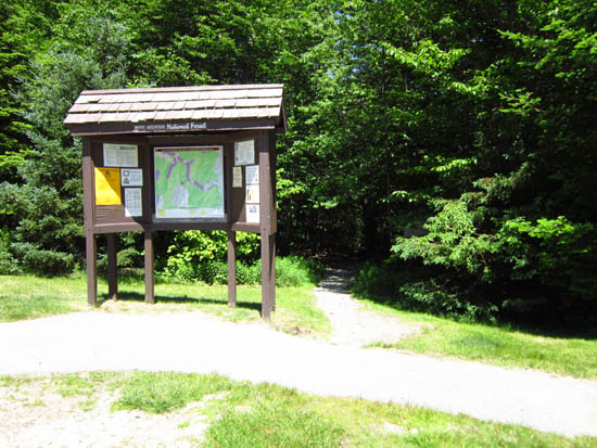
The Beaver Brook Trail trailhead at the edge of the parking area
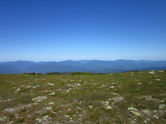
Looking east from Mt. Moosilauke
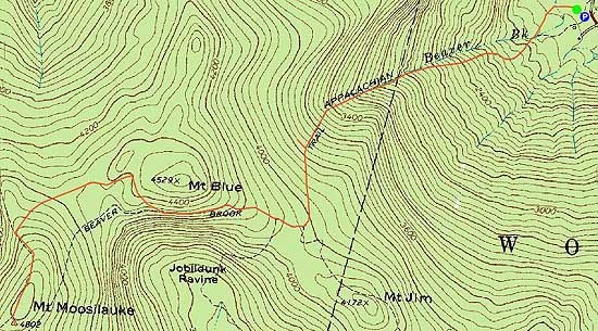

Directions to trailhead: Take Route 112 West from Lincoln to the Lost River area. WMNF fee parking lot just after Lost River parking, on the left side of the road.
Back to Mt. Moosilauke Profile
|