Home
States
Colorado
Connecticut
Maine
Massachusetts
New Hampshire
New York
Rhode Island
Utah
Vermont
View All
Lists
NE 4,000 Footers
NE 100 Highest
NH 4,000 Footers
NH 100 Highest
NH 52 With A View
NH Belknap Range
NH Ossipee 10
Links
Trail Conditions
Trip Log
Sunrises
Sunsets
About
|
Mt. Moosilauke, Mt. Moosilauke (South Peak)
Benton, NH
Trailheads, measurements, times, distances, and maps are all approximate and relative to the hike(s) as shown below.
Looking up the Moosilauke Carriage Road on the way to Mt. Moosilauke
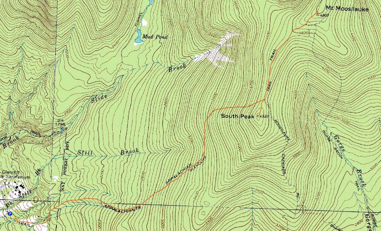
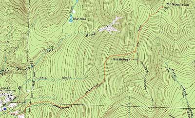
Route: Glencliff Trail, Moosilauke Carriage Road, (Mt. Moosilauke), Moosilauke Carriage Road, spur trail, (Mt. Moosilauke South Peak), spur trail, Glencliff Trail
From the trailhead up to the beginning of the long switchback was maybe an inch of snow, minimal ice. Barebooted this section in both directions.
Upon reaching the minor water crossings, there were some ice bulges. Interestingly, these were soft/slushy, despite temperatures in the single digits at best. Ascending I was able to bareboot, descending I used Microspikes. Snow depth of 2-3".
The steeps prior to the ridge had some concealed ice. I was able to bareboot while ascending, but used the Microspikes (with care) on the descent.
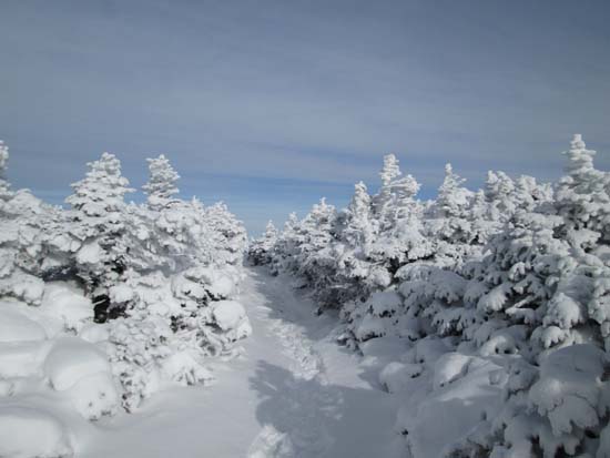
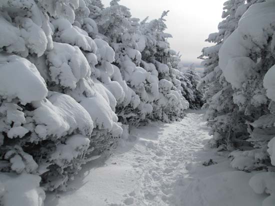
The Carriage Road had some blue ice and lots of snow drifts, up to about 18" deep. No snowshoes needed today, but after the storm they may be quite useful. Some folks skinned up the Carriage Road.
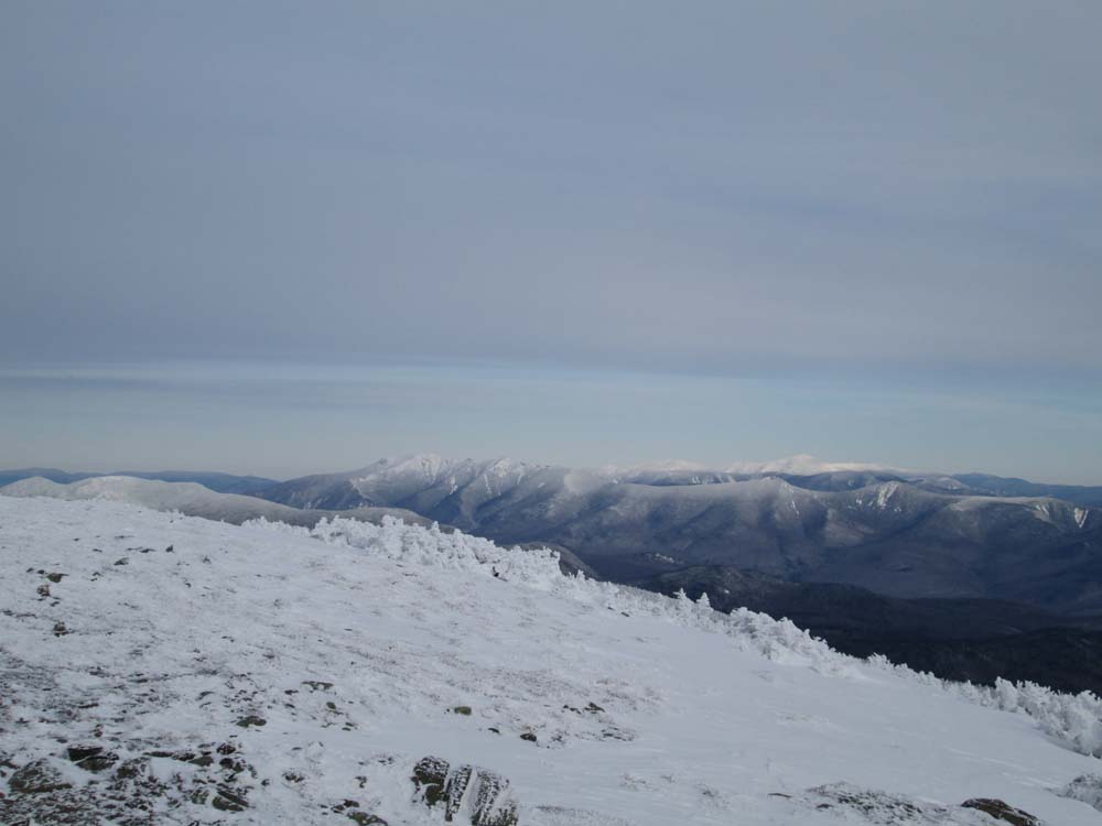
Excellent views from the summit, even with the approaching cloud cover. A bit sobering to see the Spanish Imposition (Groton Wind Farm) and notice the potential impact the two proposed farms west of it (on either side of Cardigan) will have from this vantage point. Below zero temperatures on the summit, but barely a breath of wind.
Took a short side trip to South Peak on the way back. Spur was bootable.
| Hike Ratings |
|
Getting To Trailhead: |
Easy |
| Destination: |
Mt. Moosilauke |
|
Length: |
Moderate |
|
Steepness: |
Difficult |
|
Navigation: |
Difficult |
|
Views: |
Excellent |
|
Crowds: |
Moderate |
| Destination: |
Mt. Moosilauke (South Peak) |
|
Length: |
Moderate |
|
Steepness: |
Difficult |
|
Navigation: |
Difficult |
|
Views: |
Excellent |
|
Crowds: |
Minimal |
|
| Hike Stats |
|
Date Hiked: |
Saturday, December 14, 2013 |
| Parking Elevation: |
1,530' |
| Destination: |
Mt. Moosilauke |
| Time Elapsed: |
03:23 |
| Trailhead Elevation: |
1,490' |
| Summit Elevation: |
4,802' |
| Distance: |
3.9 miles |
| Vertical Gain: |
3,317' |
| Destination: |
Mt. Moosilauke (South Peak) |
| Time Elapsed: |
00:38 |
| Trailhead Elevation: |
1,490' |
| Summit Elevation: |
4,802' |
| Vertical Gain: |
103' |
|
|
| Hike Time Elapsed: |
06:34 |
| Hike Vertical Gain: |
3,445' |
|
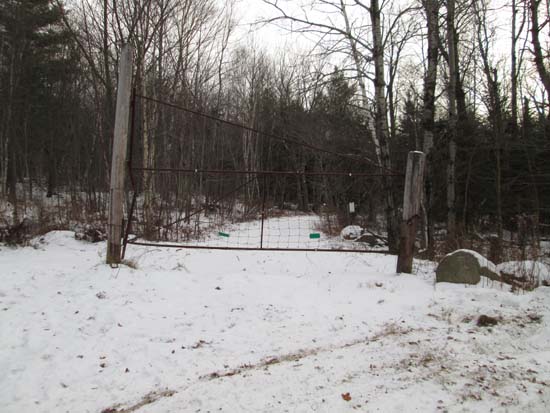
The Glencliff Trail trailhead at the edge of the parking area
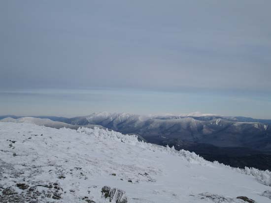
Looking at the Franconia Ridge and Presidentials from the Mt. Moosilauke summit
The Moosilauke Carriage Road on the way to south peak
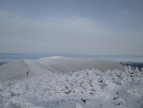
Looking at Mt. Moosilauke from Mt. Moosilauke's South peak

Directions to trailhead: Take Route 25 West from Plymouth to Glencliff. Take a right onto High Street. The Glencliff Trail parking area will be a few minutes up this road on the right. The trail can be accessed either from the back of the parking lot or a few hundred feet downhill.
Back to Mt. Moosilauke Profile
Back to Mt. Moosilauke (South Peak) Profile
|