Home
States
Colorado
Connecticut
Maine
Massachusetts
New Hampshire
New York
Rhode Island
Utah
Vermont
View All
Lists
NE 4,000 Footers
NE 100 Highest
NH 4,000 Footers
NH 100 Highest
NH 52 With A View
NH Belknap Range
NH Ossipee 10
Links
Trail Conditions
Trip Log
Sunrises
Sunsets
About
|
Mt. Morgan
Campton, NH, Holderness, NH
Trailheads, measurements, times, distances, and maps are all approximate and relative to the hike(s) as shown below.
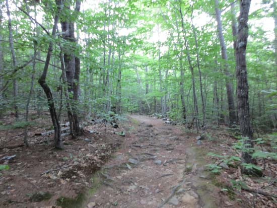
The Mt. Morgan Trail
Route: Mt. Morgan Trail
Trail was mostly dry and in good shape.
| Hike Ratings |
|
Getting To Trailhead: |
Easy |
| Destination: |
Mt. Morgan |
|
Length: |
Moderate |
|
Steepness: |
Difficult |
|
Navigation: |
Easy |
|
Views: |
Excellent |
|
Crowds: |
Minimal |
|
| Hike Stats |
|
Date Hiked: |
Tuesday, August 7, 2012 |
| Parking Elevation: |
810' |
| Destination: |
Mt. Morgan |
| Trailhead Elevation: |
810' |
| Summit Elevation: |
2,220' |
| Distance: |
2.1 miles |
| Vertical Gain: |
1,450' |
|
|
| Hike Distance: |
2.4 miles |
| Hike Vertical Gain: |
1,490' |
|
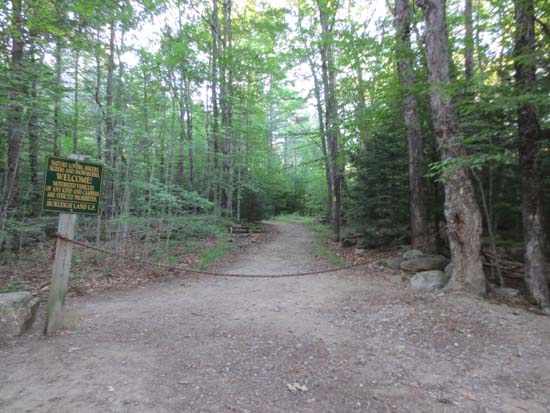
Mt. Morgan Trail trailhead
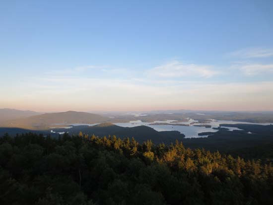
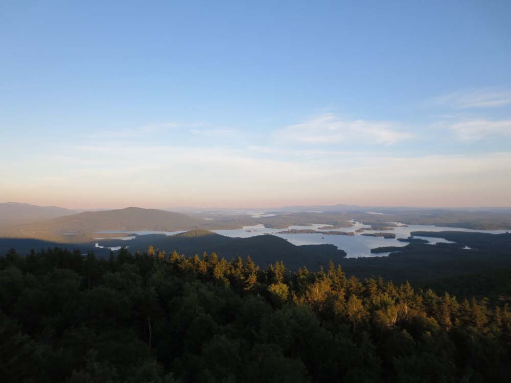
Looking at Red Hill, the Rattlesnakes, and Squam Lake from the Mt. Morgan ledges
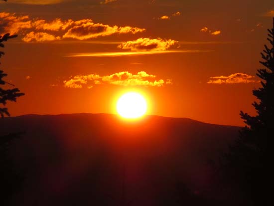
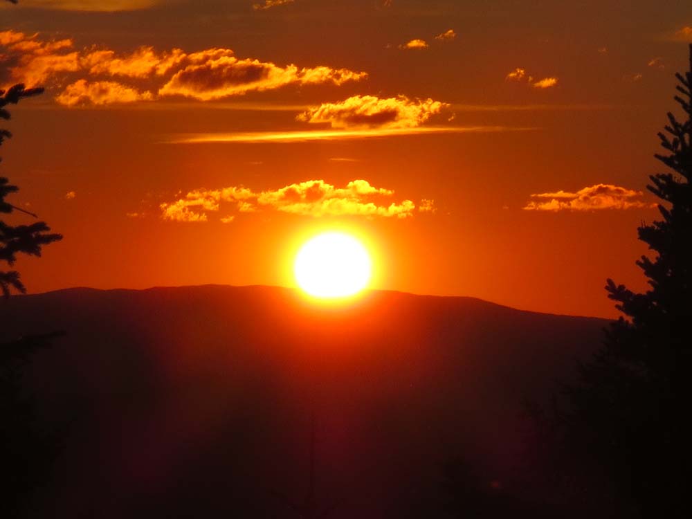
The sunset as seen from the Mt. Morgan summit ledges
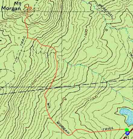 ' '

Directions to trailhead: Mt. Morgan trailhead parking is located on Route 113, west of Sandwich, across from the Old Bridle Path (West Rattlensnake) lot.
Back to Mt. Morgan Profile
|