Home
States
Colorado
Connecticut
Maine
Massachusetts
New Hampshire
New York
Rhode Island
Utah
Vermont
View All
Lists
NE 4,000 Footers
NE 100 Highest
NH 4,000 Footers
NH 100 Highest
NH 52 With A View
NH Belknap Range
NH Ossipee 10
Links
Trail Conditions
Trip Log
Sunrises
Sunsets
About
|
Mt. Morgan
Campton, NH, Holderness, NH
Trailheads, measurements, times, distances, and maps are all approximate and relative to the hike(s) as shown below.
The Mt. Morgan-Crawford Ridgepole Trail
Route: Mt. Morgan Trail
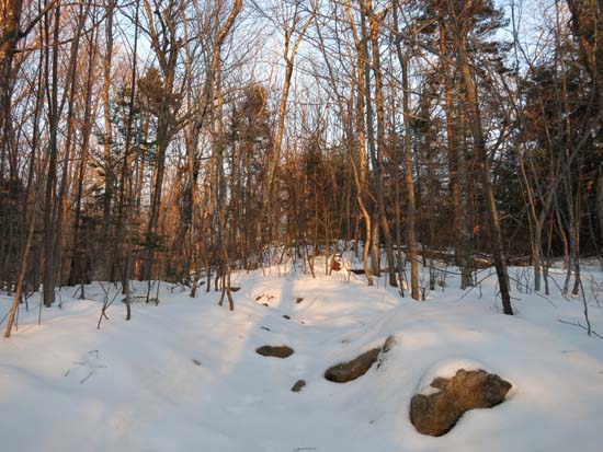
Trail had a breakable crust on top of about half an inch of granular and previous snowpack. Probably about 3-4" in the woods. Normally wet areas were wet (in the flats prior to the climb up to the ridge, and then on the ridge in the vicinity of the cliff junction). A few avoidable areas of blue ice. Near summit ledges were also coated in ice, but I was able to get around without putting on Microspikes.
| Hike Ratings |
|
Getting To Trailhead: |
Easy |
| Destination: |
Mt. Morgan |
|
Length: |
Moderate |
|
Steepness: |
Difficult |
|
Navigation: |
Easy |
|
Views: |
Excellent |
|
Crowds: |
Minimal |
|
| Hike Stats |
|
Date Hiked: |
Thursday, December 4, 2014 |
| Parking Elevation: |
810' |
| Destination: |
Mt. Morgan |
| Time Elapsed: |
00:41 |
| Trailhead Elevation: |
810' |
| Summit Elevation: |
2,220' |
| Distance: |
2.1 miles |
| Vertical Gain: |
1,450' |
|
|
| Hike Time Elapsed: |
01:35 |
| Hike Distance: |
4.2 miles |
| Hike Vertical Gain: |
1,490' |
|
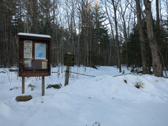
Mt. Morgan Trail trailhead
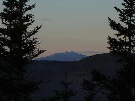
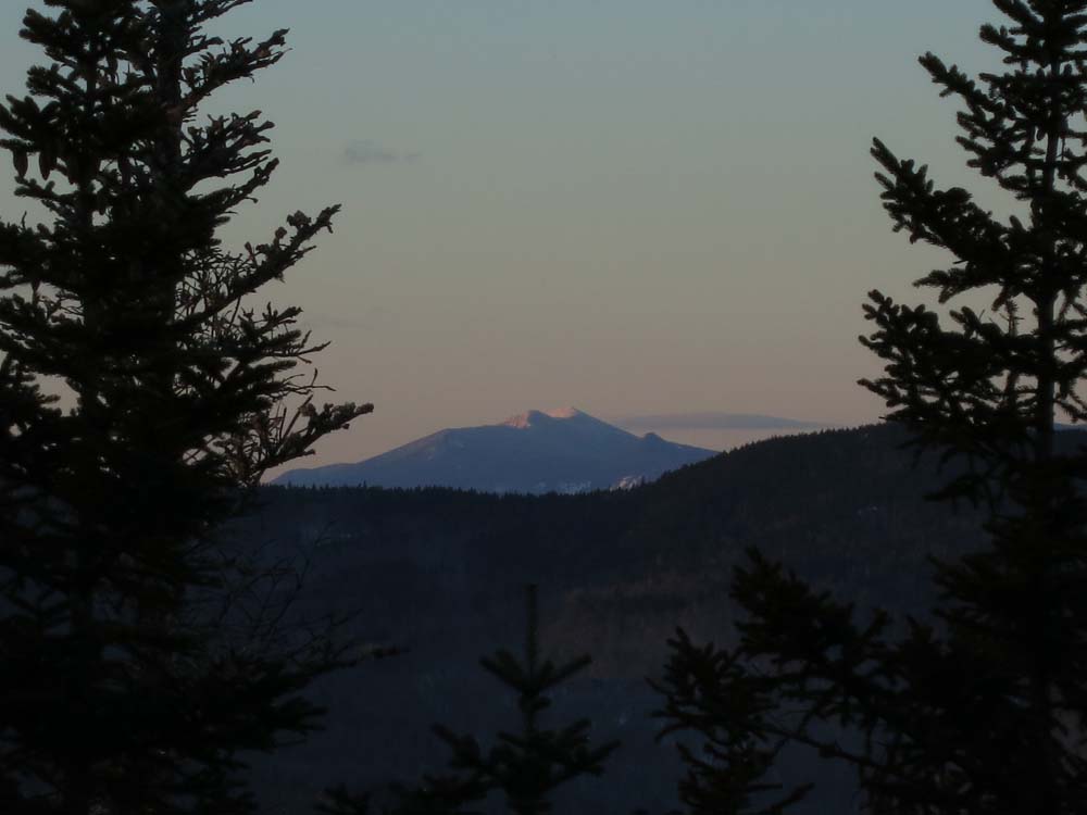
Looking at the Franconia Ridge from Mt. Morgan

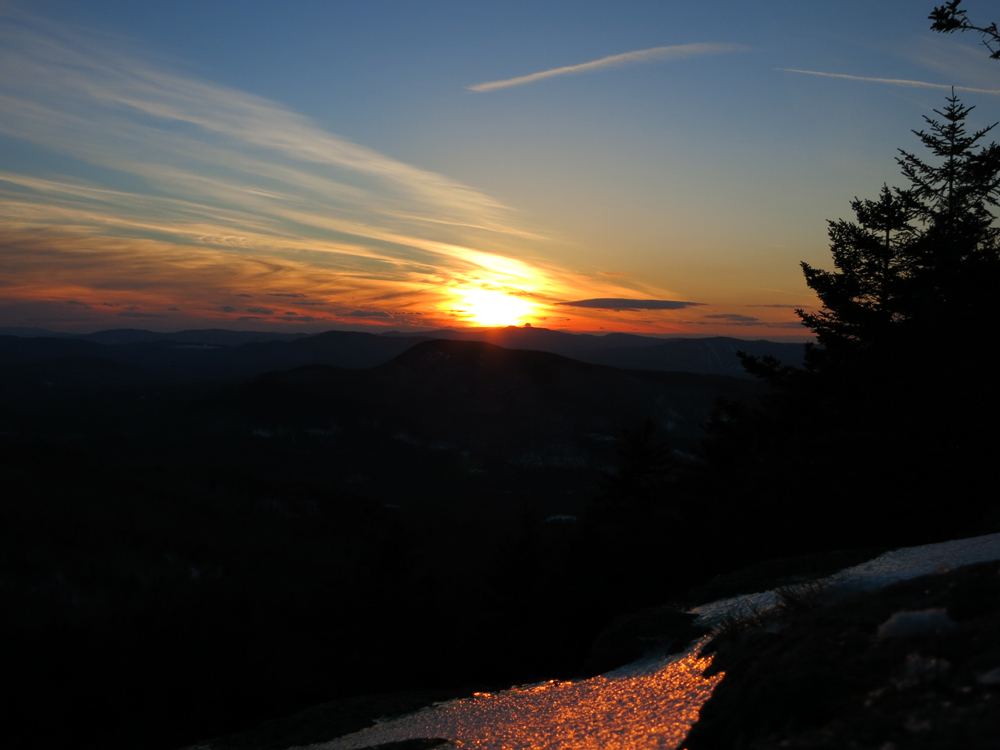
The sunset as seen from the Mt. Morgan ledges
Directions to trailhead: Mt. Morgan trailhead parking is located on Route 113, west of Sandwich, across from the Old Bridle Path (West Rattlensnake) lot.
Back to Mt. Morgan Profile
|