Home
States
Colorado
Connecticut
Maine
Massachusetts
New Hampshire
New York
Rhode Island
Utah
Vermont
View All
Lists
NE 4,000 Footers
NE 100 Highest
NH 4,000 Footers
NH 100 Highest
NH 52 With A View
NH Belknap Range
NH Ossipee 10
Links
Trail Conditions
Trip Log
Sunrises
Sunsets
About
|
Mt. Morgan
Campton, NH, Holderness, NH
Trailheads, measurements, times, distances, and maps are all approximate and relative to the hike(s) as shown below.
Mt. Morgan Trail
Route: Mt. Morgan Trail
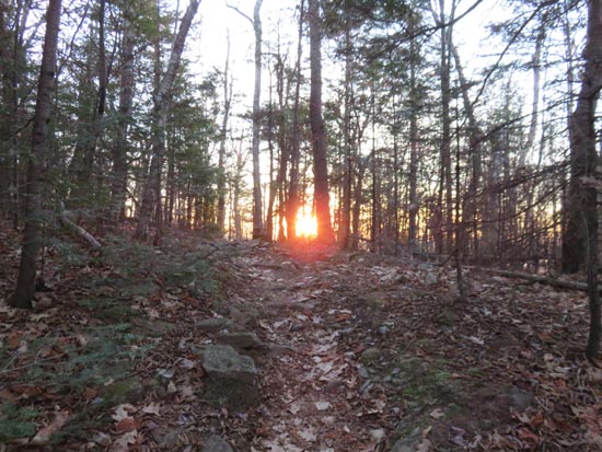
Trails were snow free with a few very tiny, avoidable patches of ice. Some muddy areas in the flats that could generally be avoided by using stepping stones. Also some running water on the trail in the vicinity of the bottom of the cliffs spur.
Nice sunrise with fog rising off Squam Lake.
| Hike Ratings |
|
Getting To Trailhead: |
Easy |
| Destination: |
Mt. Morgan |
|
Length: |
Moderate |
|
Steepness: |
Difficult |
|
Navigation: |
Easy |
|
Views: |
Excellent |
|
Crowds: |
Minimal |
|
| Hike Stats |
|
Date Hiked: |
Wednesday, November 18, 2015 |
| Parking Elevation: |
810' |
| Destination: |
Mt. Morgan |
| Time Elapsed: |
00:36 |
| Trailhead Elevation: |
810' |
| Summit Elevation: |
2,220' |
| Distance: |
2.1 miles |
| Vertical Gain: |
1,450' |
|
|
| Hike Time Elapsed: |
01:36 |
| Hike Distance: |
4.2 miles |
| Hike Vertical Gain: |
1,490' |
|
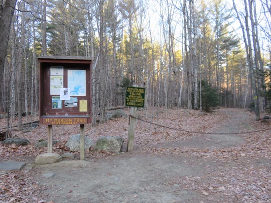
Mt. Morgan Trail trailhead

The sunrise from the Mt. Morgan ledges
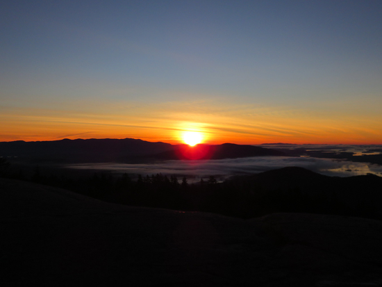
The sunrise from the Mt. Morgan ledges
Directions to trailhead: Mt. Morgan trailhead parking is located on Route 113, west of Sandwich, across from the Old Bridle Path (West Rattlensnake) lot.
Back to Mt. Morgan Profile
|


