Home
States
Colorado
Connecticut
Maine
Massachusetts
New Hampshire
New York
Rhode Island
Utah
Vermont
View All
Lists
NE 4,000 Footers
NE 100 Highest
NH 4,000 Footers
NH 100 Highest
NH 52 With A View
NH Belknap Range
NH Ossipee 10
Links
Trail Conditions
Trip Log
Sunrises
Sunsets
About
|
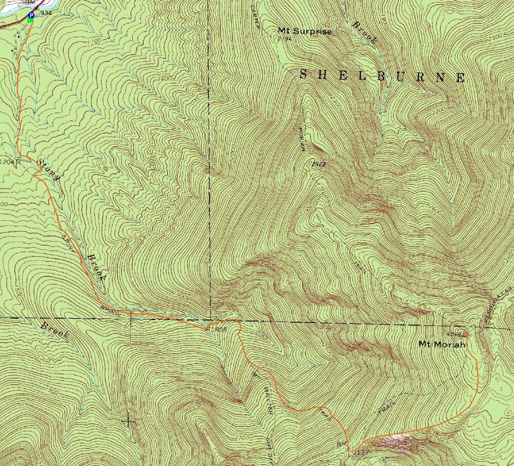
Mt. Moriah
Gorham, NH, Bean's Purchase, NH
Trailheads, measurements, times, distances, and maps are all approximate and relative to the hike(s) as shown below.
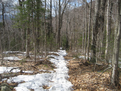
Looking down the Stony Brook Trail
Route: Stony Brook Trail, Carter-Moriah Trail, (Mt. Moriah), Carter-Moriah Trail, Stony Brook Trail
The forecast looked mediocre at best throughout the state - except, Gorham seemed to have an afternoon opening of sunshine. Thus, coupled with an evening hike the night before, a late start seemed favorable.
While I had intended to avoid water crossings by hiking the Carter Moriah Trail, seeing cars in the Stony Brook lot forced me to reconsider my plans. Reaching the empty Carter Moriah Trail trailhead, I decided to take my chances with water crossings rather than deal with the ups and downs.
The main water crossing was slightly tricky but nonetheless doable. Though it was cloudy and sprinkling on occasion, the lack of snow for the first two or so miles of trail more than made up for the dreary weather. Reaching the Carter Moriah Trail, the sun was starting to poke out.
After seeing a bunch of familiar faces and lounging in the sun while chatting, I continued up the Carter Moriah Trail, soon reaching the summit. Though the summit had been in the clouds earlier, things had cleared a bit, giving me decent views in all directions. The warmer temperatures neutralized the effect of the somewhat blustery winds.
The descent, though a bit soft in places due to melting snow, was nonetheless pleasant, as the sun continued to force its way through the clouds and illuminate the trail. Not a bad spring day!
| Hike Ratings |
|
Getting To Trailhead: |
Easy |
| Destination: |
Mt. Moriah |
|
Length: |
Moderate |
|
Steepness: |
Difficult |
|
Navigation: |
Easy |
|
Views: |
Excellent |
|
Crowds: |
Heavy |
|
| Hike Stats |
|
Date Hiked: |
Saturday, April 18, 2009 |
| Hike Commenced: |
11:42 AM |
| Parking Elevation: |
930' |
| Destination: |
Mt. Moriah |
| Ascent Commenced: |
11:42 AM |
| Summit Reached: |
2:25 PM |
| Time Elapsed: |
02:43 |
| Trailhead Elevation: |
935' |
| Summit Elevation: |
4,049' |
| Distance: |
5 miles |
| Vertical Gain: |
3,329' |
|
|
| Hike Ended: |
4:33 PM |
| Hike Time Elapsed: |
04:51 |
| Hike Vertical Gain: |
3,549' |
|
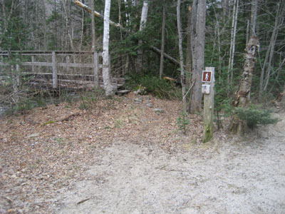
The Stony Brook Trail trailhead
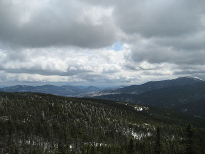
Looking at the Baldfaces and Carters from Mt. Moriah
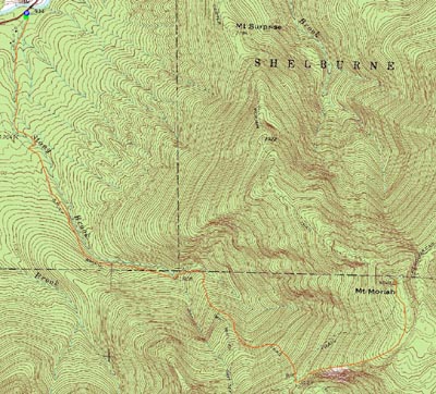

Directions to trailhead: Take Route 16 North from Pinkham Notch. The Stony Brook parking area will be on the right, at the beginning of Mt. Carter Road. The Stony Brook Trail trailhead is a few dozen feet further up Mt. Carter Road, on the left.
Back to Mt. Moriah Profile
|