Home
States
Colorado
Connecticut
Maine
Massachusetts
New Hampshire
New York
Rhode Island
Utah
Vermont
View All
Lists
NE 4,000 Footers
NE 100 Highest
NH 4,000 Footers
NH 100 Highest
NH 52 With A View
NH Belknap Range
NH Ossipee 10
Links
Trail Conditions
Trip Log
Sunrises
Sunsets
About
|
Mt. Moriah
Gorham, NH, Bean's Purchase, NH
Trailheads, measurements, times, distances, and maps are all approximate and relative to the hike(s) as shown below.
The Carter Moriah Trail
Route: Stony Brook Trail, Carter-Moriah Trail, (Mt. Moriah), Carter-Moriah Trail, Stony Brook Trail
While I probably could have used a day off after five consecutive days of long hikes and various leg soreness as a result, the impending weather forecast persuaded me to get out and enjoy perhaps the last dry day for the foreseeable future.
The Stony Brook water crossing was surprisingly easy - amazing how much it's dropped in a month. While the lower portion of the trail was smooth sailing, I soon discovered that the upper portions have less than favorable footing without snow on the ground - there are some decent rocky stretches - a far cry from the smooth sailing I had in March.
The Carter Moriah Trail was scenic as usual. I did find myself racing clouds to the summit, as the oncoming storm system crawled in. Other than a small patch of snow at the Kenduskeag Trail junction, things were mostly dry.
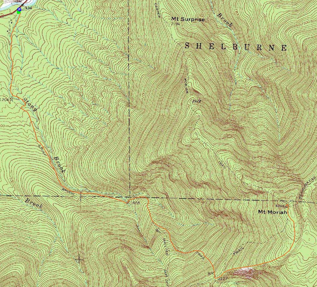
The views from the summit were quite good, though clouds were quickly covering points to the west and south.
After a brief dinner break at the final set of ledges on the Carter Moriah Trail, I was able to make it back to the trailhead without a headlamp - just barely. Nice to get out one last time before rain, rain, rain.
| Hike Ratings |
|
Getting To Trailhead: |
Easy |
| Destination: |
Mt. Moriah |
|
Length: |
Moderate |
|
Steepness: |
Difficult |
|
Navigation: |
Easy |
|
Views: |
Excellent |
|
Crowds: |
Minimal |
|
| Hike Stats |
|
Date Hiked: |
Tuesday, May 26, 2009 |
| Hike Commenced: |
4:07 PM |
| Parking Elevation: |
930' |
| Destination: |
Mt. Moriah |
| Ascent Commenced: |
4:08 PM |
| Summit Reached: |
6:25 PM |
| Time Elapsed: |
02:17 |
| Trailhead Elevation: |
935' |
| Summit Elevation: |
4,049' |
| Distance: |
5 miles |
| Vertical Gain: |
3,329' |
|
|
| Hike Ended: |
9:03 PM |
| Hike Time Elapsed: |
04:56 |
| Hike Vertical Gain: |
3,549' |
|
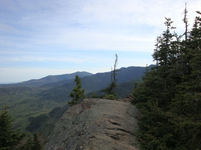
The Stony Brook Trail trailhead
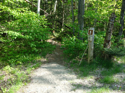
White lady slippers along the Stony Brook Trail
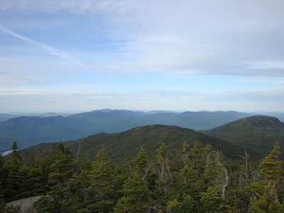
Looking to the north from Mt. Moriah
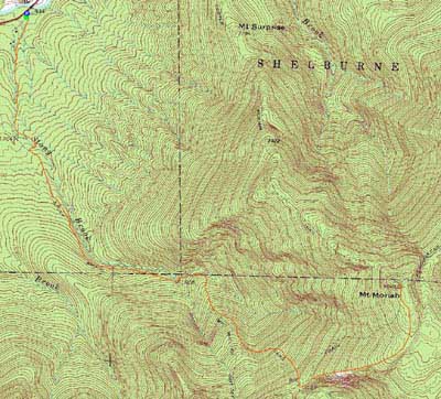

Directions to trailhead: Take Route 16 North from Pinkham Notch. The Stony Brook parking area will be on the right, at the beginning of Mt. Carter Road. The Stony Brook Trail trailhead is a few dozen feet further up Mt. Carter Road, on the left.
Back to Mt. Moriah Profile
|