Home
States
Colorado
Connecticut
Maine
Massachusetts
New Hampshire
New York
Rhode Island
Utah
Vermont
View All
Lists
NE 4,000 Footers
NE 100 Highest
NH 4,000 Footers
NH 100 Highest
NH 52 With A View
NH Belknap Range
NH Ossipee 10
Links
Trail Conditions
Trip Log
Sunrises
Sunsets
About
|
Mt. Moriah
Gorham, NH, Bean's Purchase, NH
Trailheads, measurements, times, distances, and maps are all approximate and relative to the hike(s) as shown below.
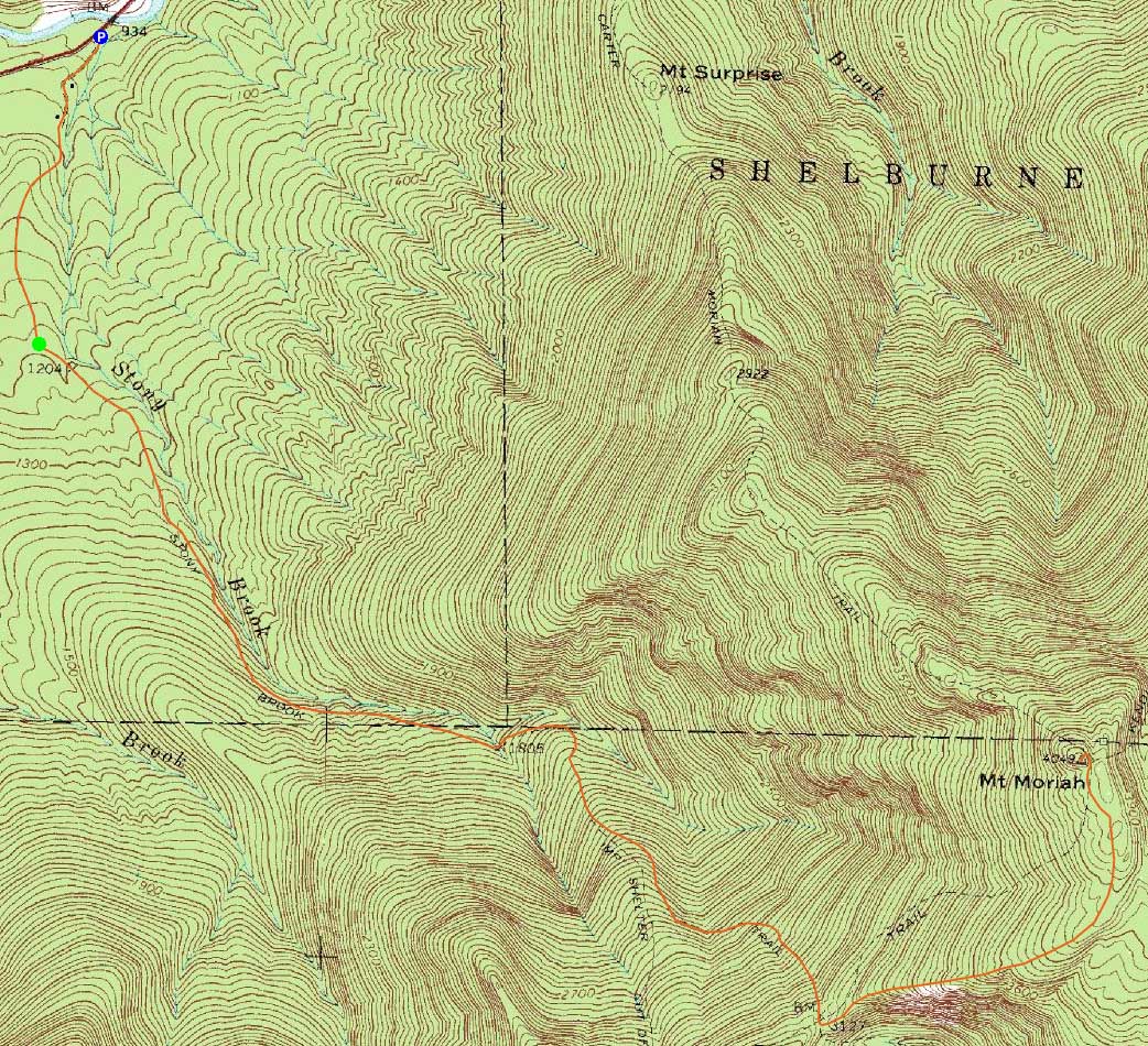
The Stony Brook Trail
Route: Mt. Carter Road, old Stony Brook Trail, Stony Brook Trail, Carter-Moriah Trail, (Mt. Moriah), Carter-Moriah Trail, Stony Brook Trail, old Stony Brook Trail, Mt. Carter Road
After multiple inches of rain two days earlier, we were unsure of what the Stony Brook water crossing would be like. Being that it's a bit of walk to get to the actual crossing, we decided to instead follow the old route of the trail and avoid it.
After parking at the regular Stony Brook Trail parking area, we walked up the paved road, eventually bearing left onto a dirt road. At the end of this dirt road, there was a small parking area and some for sale signs. We continued straight onto a less prominent road, reaching the present day trail just after its water crossing in about five minutes (just a bit under twenty minutes from the parking lot). While an option now, I suspect this old route will not be available once future real estate developments commence.
From there, we continued under the fall foliage on the wet trail, eventually reaching the Carter Moriah Trail. Once on this trail, we had to deal with some mud pits and large puddles from the rain. Most of the minor scramble ledges, though, were dry and passable.
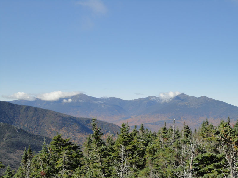
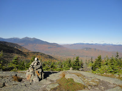
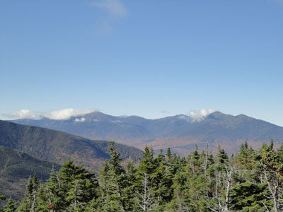
The views from Mt. Moriah were quite strong - the Presidentials were mostly in the clear and peaks to the northeast in Maine were easily seen, aside from the Mahoosucs in a morning fog.
We took our time on the descent, checking out the nice Wild River Valley foliage views.
| Hike Ratings |
|
Getting To Trailhead: |
Easy |
| Destination: |
Mt. Moriah |
|
Length: |
Moderate |
|
Steepness: |
Difficult |
|
Navigation: |
Moderate |
|
Views: |
Excellent |
|
Crowds: |
Minimal |
|
| Hike Stats |
|
Date Hiked: |
Sunday, October 3, 2010 |
| Hike Commenced: |
7:59 AM |
| Parking Elevation: |
930' |
| Destination: |
Mt. Moriah |
| Ascent Commenced: |
8:12 AM |
| Summit Reached: |
10:30 AM |
| Time Elapsed: |
02:18 |
| Trailhead Elevation: |
1,195' |
| Summit Elevation: |
4,049' |
| Vertical Gain: |
2,994' |
|
|
| Hike Ended: |
1:39 PM |
| Hike Time Elapsed: |
05:40 |
| Hike Vertical Gain: |
3,399' |
|
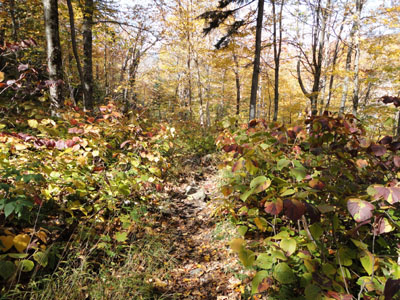
The old Stony Brook Trail trailhead
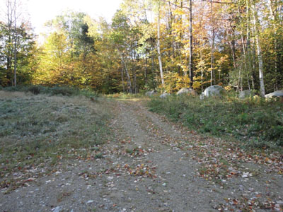
Looking down the Carter-Moriah Trail
Looking at the Presidentials from Mt. Moriah

Directions to trailhead: Take Route 16 North from Pinkham Notch. The Stony Brook parking area will be on the right, at the beginning of Mt. Carter Road. To reach the old Stony Brook Trail, not posted as of early fall 2010, continue on foot up Mt. Carter Road, eventually bearing left onto a straight grassy road. The old Stony Brook Trail starts at the end of that road, adjacent to some boulders.
Back to Mt. Moriah Profile
|