Home
States
Colorado
Connecticut
Maine
Massachusetts
New Hampshire
New York
Rhode Island
Utah
Vermont
View All
Lists
NE 4,000 Footers
NE 100 Highest
NH 4,000 Footers
NH 100 Highest
NH 52 With A View
NH Belknap Range
NH Ossipee 10
Links
Trail Conditions
Trip Log
Sunrises
Sunsets
About
|
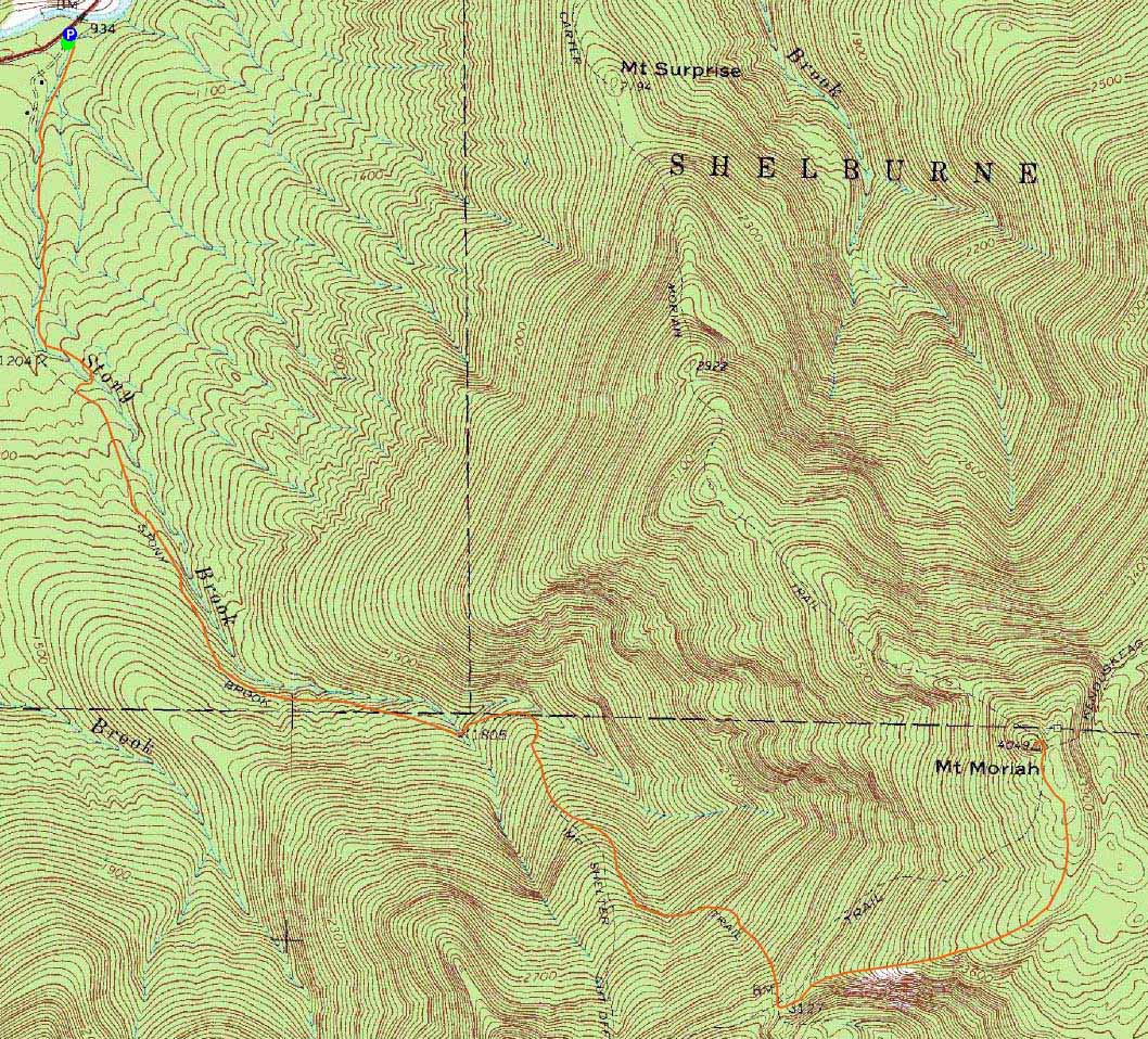
Mt. Moriah
Gorham, NH, Bean's Purchase, NH
Trailheads, measurements, times, distances, and maps are all approximate and relative to the hike(s) as shown below.
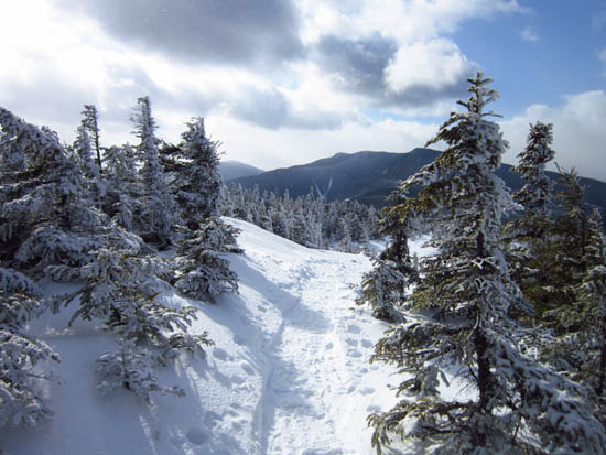
Looking down the Carter-Moriah Trail
Route: Stony Brook Trail, Carter-Moriah Trail, (Mt. Moriah), Carter-Moriah Trail, Stony Brook Trail, herd path, road walk
Nice packed snowshoe track.
| Hike Ratings |
|
Getting To Trailhead: |
Easy |
| Destination: |
Mt. Moriah |
|
Length: |
Moderate |
|
Steepness: |
Difficult |
|
Navigation: |
Easy |
|
Views: |
Excellent |
|
Crowds: |
Minimal |
|
| Hike Stats |
|
Date Hiked: |
Sunday, January 29, 2012 |
| Parking Elevation: |
930' |
| Destination: |
Mt. Moriah |
| Time Elapsed: |
02:51 |
| Trailhead Elevation: |
935' |
| Summit Elevation: |
4,049' |
| Distance: |
5 miles |
| Vertical Gain: |
3,329' |
|
|
| Hike Time Elapsed: |
04:55 |
| Hike Vertical Gain: |
3,529' |
|
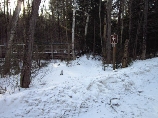
The Stony Brook Trail trailhead
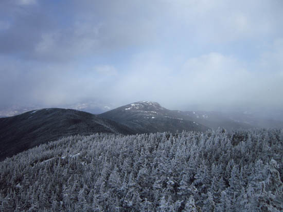
Looking at Middle and Shelburne Moriah from Mt. Moriah
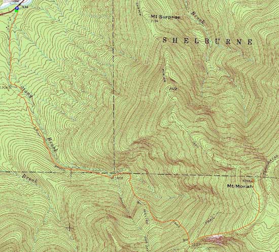

Directions to trailhead: Take Route 16 North from Pinkham Notch. The Stony Brook parking area will be on the right, at the beginning of Mt. Carter Road. The Stony Brook Trail trailhead is a few dozen feet further up Mt. Carter Road, on the left.
Back to Mt. Moriah Profile
|