Home
States
Colorado
Connecticut
Maine
Massachusetts
New Hampshire
New York
Rhode Island
Utah
Vermont
View All
Lists
NE 4,000 Footers
NE 100 Highest
NH 4,000 Footers
NH 100 Highest
NH 52 With A View
NH Belknap Range
NH Ossipee 10
Links
Trail Conditions
Trip Log
Sunrises
Sunsets
About
|
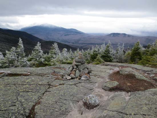
Mt. Moriah
Gorham, NH, Bean's Purchase, NH
Trailheads, measurements, times, distances, and maps are all approximate and relative to the hike(s) as shown below.
The Carter-Moriah Trail
Route: Old Stony Brook Trail, Stony Brook Trail, Carter-Moriah Trail, (Mt. Moriah), Carter-Moriah Trail, Imp Shelter Spur, Carter-Moriah Trail, Stony Brook Trail, old Stony Brook Trail
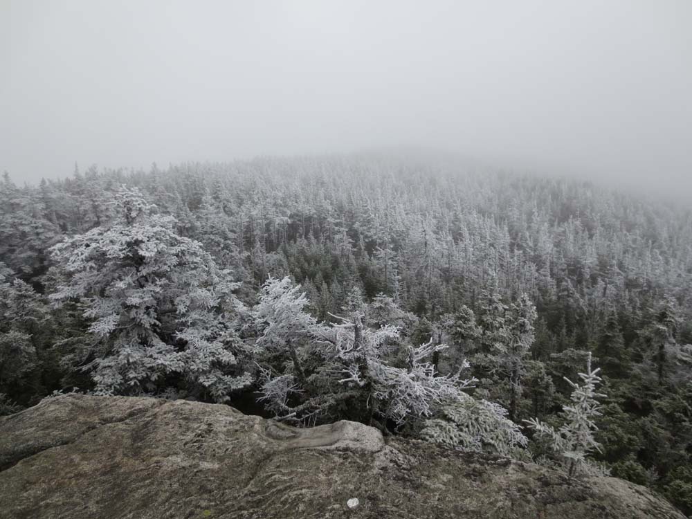
Stretches of trail were dry, however there were plenty of stretches of mud. Rime ice on above 3600 feet. Some black ice on roots and bog bridging, but not enough to justify Microspikes. One annoying mud bog about halfway across the ridge.
| Hike Ratings |
|
Getting To Trailhead: |
Easy |
| Destination: |
Mt. Moriah |
|
Length: |
Moderate |
|
Steepness: |
Difficult |
|
Navigation: |
Moderate |
|
Views: |
Minimal (due to weather) |
|
Crowds: |
Minimal |
|
| Hike Stats |
|
Date Hiked: |
Saturday, November 3, 2012 |
| Parking Elevation: |
1,195' |
| Destination: |
Mt. Moriah |
| Time Elapsed: |
02:42 |
| Trailhead Elevation: |
1,195' |
| Summit Elevation: |
4,049' |
| Vertical Gain: |
2,994' |
|
|
| Hike Time Elapsed: |
07:01 |
| Hike Vertical Gain: |
3,434' |
|
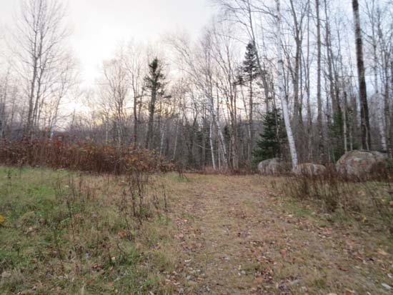
The old Stony Brook Trail trailhead
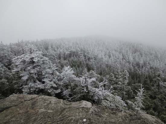
Looking at fog from Mt. Moriah
Directions to trailhead: Take Route 16 North from Pinkham Notch. The Stony Brook parking area will be on the right, at the beginning of Mt. Carter Road. To reach the old Stony Brook Trail, not posted as of fall 2012, continue on foot up Mt. Carter Road, eventually bearing left onto a straight grassy road. The old Stony Brook Trail starts at the end of that road, adjacent to some boulders.
Back to Mt. Moriah Profile
|