Home
States
Colorado
Connecticut
Maine
Massachusetts
New Hampshire
New York
Rhode Island
Utah
Vermont
View All
Lists
NE 4,000 Footers
NE 100 Highest
NH 4,000 Footers
NH 100 Highest
NH 52 With A View
NH Belknap Range
NH Ossipee 10
Links
Trail Conditions
Trip Log
Sunrises
Sunsets
About
|
Mt. Passaconaway
Albany, NH, Sandwich, NH, Waterville Valley, NH
Trailheads, measurements, times, distances, and maps are all approximate and relative to the hike(s) as shown below.
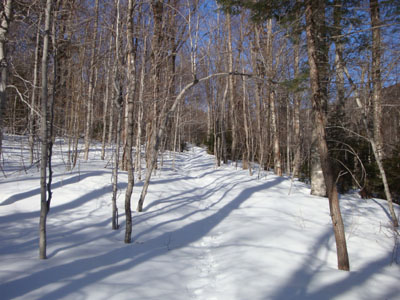
Looking up the Dicey Mill Trail
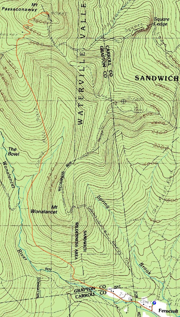
Route: Dicey Mill Trail, (Mt. Passaconaway), Walden Trail, Dicey Mill Trail
With sunny weather and longer afternoon daylight, it was time to do Mt. Passaconaway as an afternoon/evening hike. Arriving at a messy Ferncroft parking lot (not plowed after the recently inch of snow followed by rain storm), I attempted to bareboot the roadwalk portion of the hike. Due to solid ice along the road, I soon was forced to throw on my snowshoes for some traction. Once off the road, there was basically an inch of granular covered by an ice crust. Below that, the base seemed fairly firm.
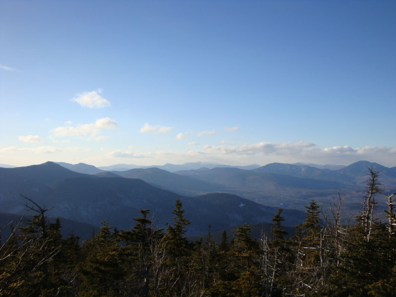
The trail dragged on a bit, as it normally does, however after awhile I could see I was gaining elevation. While the temperatures were near freezing at the base, the winds in the bowl forced me to add a fleece layer partway up the ascent. After climbing up an ice chunk covered upper portion of the Dicey Mill Trail, I reached the cold and windy summit. Surprisingly, there was a partial lake view from next to the highpoint - amazing what a deep snowpack can do!
After a brief side trip over to the over near summit viewpoint, I turned around and started my descent, pausing to add my winter jacket. While I was making decent time on the descent, things slowed when I decided to stop and clean up a particularly annoying set of blowdowns. Though this cost me a few minutes of light, I nonetheless made it to the flats before things became dark. Without the aide of the late rising moon, I was still able to make it back to Ferncroft without putting on my headlamp. Spring is getting closer, I hope!
| Hike Ratings |
|
Getting To Trailhead: |
Easy |
| Destination: |
Mt. Passaconaway |
|
Length: |
Moderate |
|
Steepness: |
Difficult |
|
Navigation: |
Easy |
|
Views: |
Excellent |
|
Crowds: |
Minimal |
|
| Hike Stats |
|
Date Hiked: |
Thursday, March 12, 2009 |
| Hike Commenced: |
3:17 PM |
| Parking Elevation: |
1,140' |
| Destination: |
Mt. Passaconaway |
| Ascent Commenced: |
3:17 PM |
| Summit Reached: |
5:27 PM |
| Time Elapsed: |
02:10 |
| Trailhead Elevation: |
1,140' |
| Summit Elevation: |
4,043' |
| Distance: |
4.6 miles |
| Vertical Gain: |
3,023' |
|
|
| Hike Ended: |
7:31 PM |
| Hike Time Elapsed: |
04:14 |
| Hike Vertical Gain: |
3,183' |
|
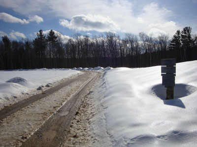
The Dicey Mill Trail trailhead at Ferncroft
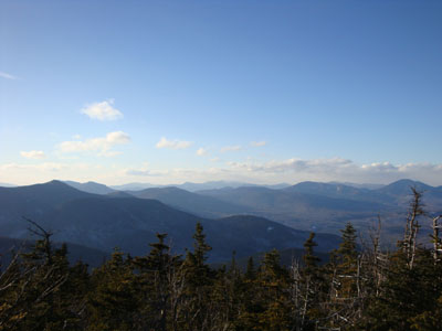
Looking toward the Franconia Ridge from near the Mt. Passaconaway summit
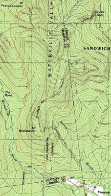

Directions to trailhead: Take Route 113A to Wonalancet, then take Ferncroft Road. The trailhead (the road) and parking lot are both on the right next to the pasture.
Back to Mt. Passaconaway Profile
|