Home
States
Colorado
Connecticut
Maine
Massachusetts
New Hampshire
New York
Rhode Island
Utah
Vermont
View All
Lists
NE 4,000 Footers
NE 100 Highest
NH 4,000 Footers
NH 100 Highest
NH 52 With A View
NH Belknap Range
NH Ossipee 10
Links
Trail Conditions
Trip Log
Sunrises
Sunsets
About
|
Mt. Passaconaway
Albany, NH, Sandwich, NH, Waterville Valley, NH
Trailheads, measurements, times, distances, and maps are all approximate and relative to the hike(s) as shown below.
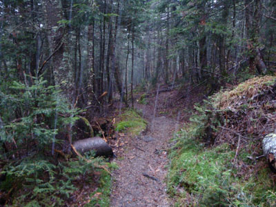
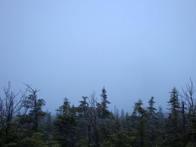
Looking down the Dicey Mill Trail as snow starts to fall
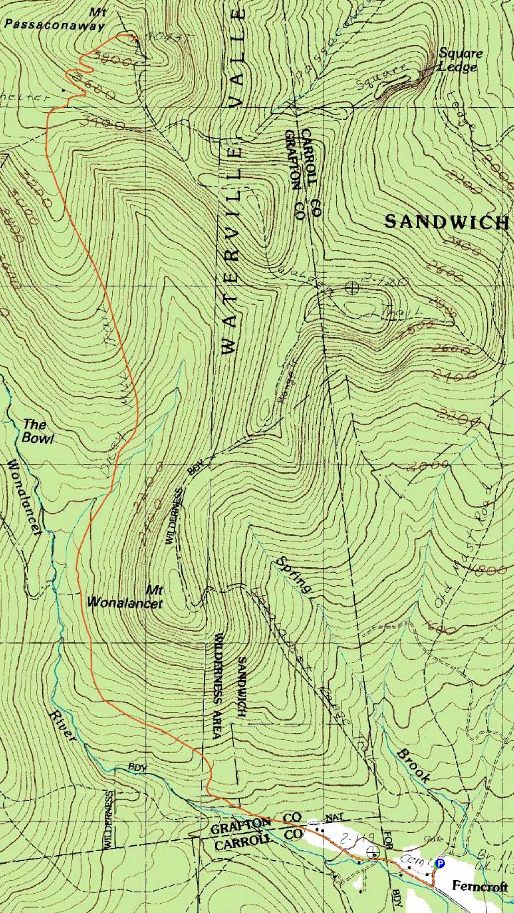
Route: Dicey Mill Trail, (Mt. Passaconaway), Dicey Mill Trail
With heavy rains expected later in the day, I decided to get in an early hike to Mt. Passaconaway.
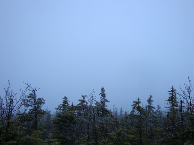
I was fortunate to get up to just about the Rollins Trail junction prior to the rain moving in. Reaching the summit (no views today), I noticed some rime on the trees. Just as I turned around to start descending, snow mixed in with the rain - this continued to about the Rollins Trail junction, at which point I dropped back into the rain.
From there, it was a long, head-down walk back to the parking lot in cold, near-winter rain.
| Hike Ratings |
|
Getting To Trailhead: |
Easy |
| Destination: |
Mt. Passaconaway |
|
Length: |
Moderate |
|
Steepness: |
Difficult |
|
Navigation: |
Easy |
|
Views: |
Minimal (due to weather) |
|
Crowds: |
Moderate |
|
| Hike Stats |
|
Date Hiked: |
Friday, November 27, 2009 |
| Hike Commenced: |
6:48 AM |
| Parking Elevation: |
1,140' |
| Destination: |
Mt. Passaconaway |
| Ascent Commenced: |
6:48 AM |
| Summit Reached: |
8:39 AM |
| Time Elapsed: |
01:51 |
| Trailhead Elevation: |
1,140' |
| Summit Elevation: |
4,043' |
| Distance: |
4.6 miles |
| Vertical Gain: |
3,023' |
|
|
| Hike Ended: |
10:35 AM |
| Hike Time Elapsed: |
03:47 |
| Hike Vertical Gain: |
3,143' |
|
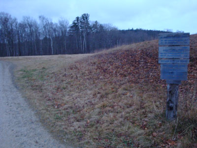
The Dicey Mill Trail trailhead at Ferncroft
Looking into a cloud from near the Mt. Passaconaway summit
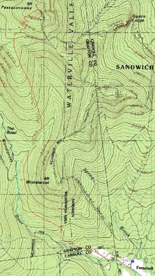

Directions to trailhead: Take Route 113A to Wonalancet, then take Ferncroft Road. The trailhead (the road) and parking lot are both on the right next to the pasture.
Back to Mt. Passaconaway Profile
|