Home
States
Colorado
Connecticut
Maine
Massachusetts
New Hampshire
New York
Rhode Island
Utah
Vermont
View All
Lists
NE 4,000 Footers
NE 100 Highest
NH 4,000 Footers
NH 100 Highest
NH 52 With A View
NH Belknap Range
NH Ossipee 10
Links
Trail Conditions
Trip Log
Sunrises
Sunsets
About
|
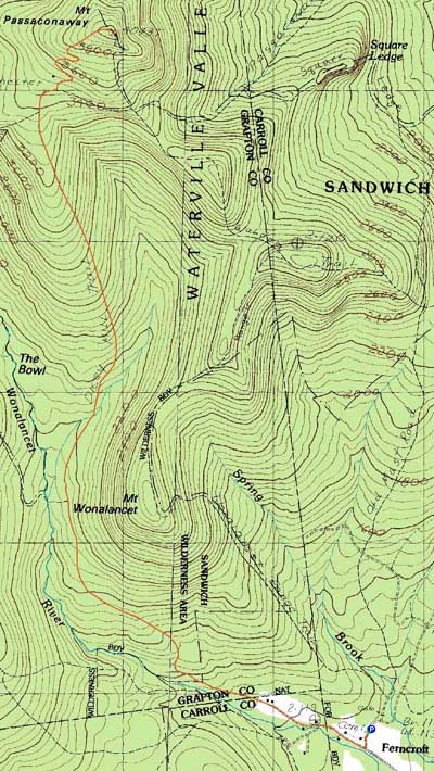
Mt. Passaconaway
Albany, NH, Sandwich, NH, Waterville Valley, NH
Trailheads, measurements, times, distances, and maps are all approximate and relative to the hike(s) as shown below.
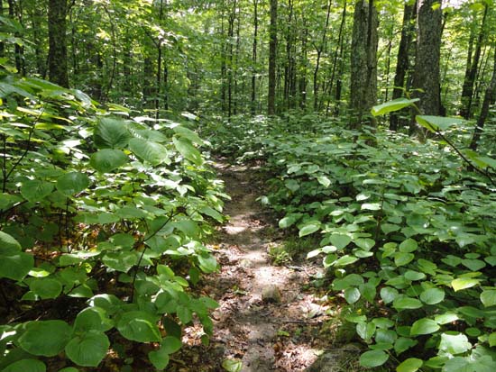
A brief patch of sun on the lower Dicey's Mill Trail
Route: Dicey's Mill Trail
Trail was wet on the ascent due to a good downpour around daybreak. Prior to the Rollins Trail, the trail drains fairly well. Above there, the rock/ledge scrambles were slick and had to be done with care. Lower portions of the trail with a gravel base were drying out in the early afternoon as the sun started to poke through.
| Hike Ratings |
|
Getting To Trailhead: |
Easy |
| Destination: |
Mt. Passaconaway |
|
Length: |
Moderate |
|
Steepness: |
Difficult |
|
Navigation: |
Easy |
|
Views: |
Minimal (due to weather) |
|
Crowds: |
Minimal |
|
| Hike Stats |
|
Date Hiked: |
Saturday, June 29, 2013 |
| Parking Elevation: |
1,140' |
| Destination: |
Mt. Passaconaway |
| Time Elapsed: |
02:35 |
| Trailhead Elevation: |
1,140' |
| Summit Elevation: |
4,043' |
| Distance: |
4.6 miles |
| Vertical Gain: |
3,023' |
|
|
| Hike Time Elapsed: |
05:02 |
| Hike Vertical Gain: |
3,143' |
|
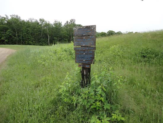
The Dicey Mill Trail trailhead at Ferncroft
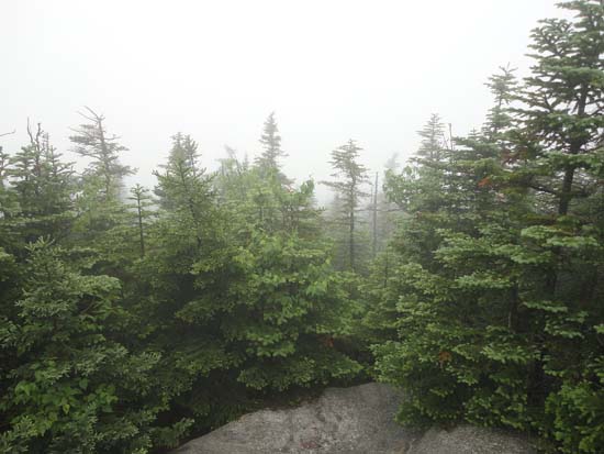
Looking into the fog from near the Mt. Passaconaway summit

Directions to trailhead: Take Route 113A to Wonalancet, then take Ferncroft Road. The trailhead (the road) and parking lot are both on the right next to the pasture.
Back to Mt. Passaconaway Profile
|

