Home
States
Colorado
Connecticut
Maine
Massachusetts
New Hampshire
New York
Rhode Island
Utah
Vermont
View All
Lists
NE 4,000 Footers
NE 100 Highest
NH 4,000 Footers
NH 100 Highest
NH 52 With A View
NH Belknap Range
NH Ossipee 10
Links
Trail Conditions
Trip Log
Sunrises
Sunsets
About
|
Mt. Pawtuckaway (South Peak)
Nottingham, NH
Trailheads, measurements, times, distances, and maps are all approximate and relative to the hike(s) as shown below.
The Tower Trail
Route: Tower Road, Tower Trail, South Ridge Trail, Mountain Trail South
Trails were snow free with minor, avoidable blue and black ice. Some patchy mud on the Tower Trail. Decent sized mud patch at the stonewall on the South Ridge Trail.
| Hike Ratings |
|
Getting To Trailhead: |
Easy |
| Destination: |
South Pawtuckaway |
|
Length: |
Easy |
|
Steepness: |
Moderate |
|
Navigation: |
Easy |
|
Views: |
Excellent |
|
Crowds: |
Minimal |
|
| Hike Stats |
|
Date Hiked: |
Wednesday, March 2, 2016 |
| Parking Elevation: |
450' |
| Destination: |
South Pawtuckaway |
| Time Elapsed: |
00:18 |
| Trailhead Elevation: |
450' |
| Summit Elevation: |
908' |
| Vertical Gain: |
468' |
|
|
| Hike Time Elapsed: |
00:39 |
| Hike Vertical Gain: |
498' |
|
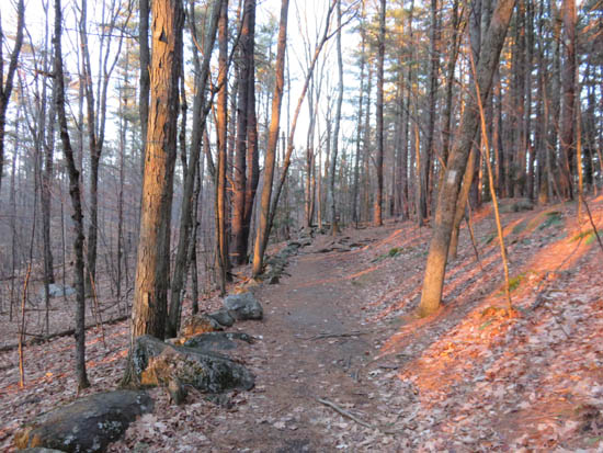
The beginning of Tower Road
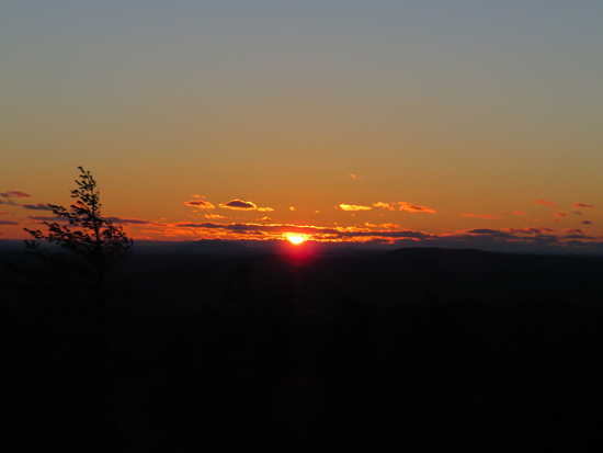
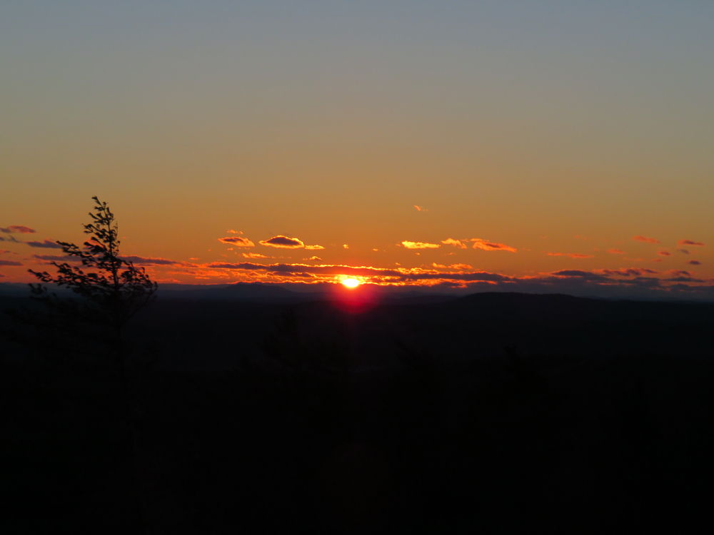
The sunset from the South Pawtuckaway Fire Tower
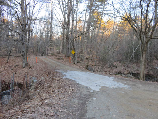
Directions to trailhead: Take Route 107 South from Deerfield Center. Reservation Road will eventually be on the left. Follow this dirt road, bearing right to avoid Tandy Road. The gated Tower Road will be on the left, on a sharp right turn. There is minimal room for roadside parking.
Back to Mt. Pawtuckaway (South Peak) Profile
|