Home
States
Colorado
Connecticut
Maine
Massachusetts
New Hampshire
New York
Rhode Island
Utah
Vermont
View All
Lists
NE 4,000 Footers
NE 100 Highest
NH 4,000 Footers
NH 100 Highest
NH 52 With A View
NH Belknap Range
NH Ossipee 10
Links
Trail Conditions
Trip Log
Sunrises
Sunsets
About
|
Mt. Pierce
Carroll, NH, Crawford's Purchase, NH, Bean's Grant, NH
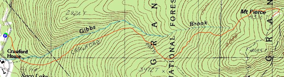
Trailheads, measurements, times, distances, and maps are all approximate and relative to the hike(s) as shown below.
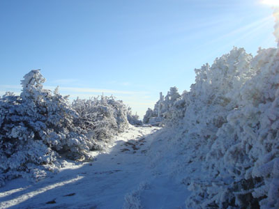
Looking up the Crawford Path
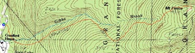
Route: Crawford Connector, Crawford Path, Webster Cliff Trail
With a nice morning weather forecast, I took a few hours off from work and headed up to Crawford Notch. Arriving at the parking area, I was surprised to discover I was the first person there.
I was also a bit surprised to discover snow (a dusting) at the parking lot. By the time I reached the Gibbs Falls area, I had to stop and put on my MicroSpikes, as things were already getting a bit icy (not wall to wall, top to bottom, but nonetheless many patches, some obscured by snow).
After passing the Mitzpah junction, there was even more ice. At one point, the area took a great amber appearance, as the sun started to break through and shine through the rime and snow in the trees.
Arriving at the Webster Cliff Trail junction, there was now about an inch or two of snow, drifting upwards of four inches deep. Ike and Washington looked awesome, draped in fresh snow.
After reaching the summit, I turned around and headed down to my preferred view ledge for some snaps of the great scenery.
I was especially glad to have my MicroSpikes on for the descent, as the extended icy places probably would have been a risk had I been wearing Stablicers. The spikes gripped quite well - boy am I glad I bought these!
Until reaching the Crawford Connector on the descent, I did not see a single person.
| Hike Ratings |
|
Getting To Trailhead: |
Easy |
| Destination: |
Mt. Pierce |
|
Length: |
Moderate |
|
Steepness: |
Moderate |
|
Navigation: |
Easy |
|
Views: |
Excellent |
|
Crowds: |
Heavy |
|
| Hike Stats |
|
Date Hiked: |
Friday, October 31, 2008 |
| Hike Commenced: |
7:48 AM |
| Parking Elevation: |
1,920' |
| Destination: |
Mt. Pierce |
| Ascent Commenced: |
7:48 AM |
| Summit Reached: |
9:24 AM |
| Time Elapsed: |
01:36 |
| Trailhead Elevation: |
1,920' |
| Summit Elevation: |
4,310' |
| Distance: |
3.2 miles |
| Vertical Gain: |
2,430' |
|
|
| Hike Ended: |
11:19 AM |
| Hike Time Elapsed: |
03:31 |
| Hike Distance: |
6.4 miles |
| Hike Vertical Gain: |
2,470' |
|
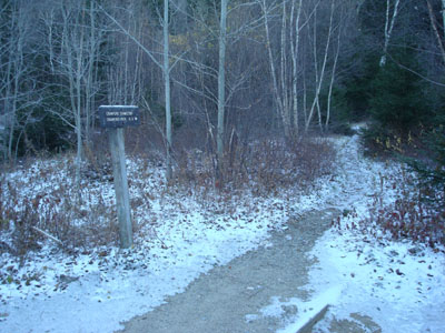
Crawford Connector trailhead

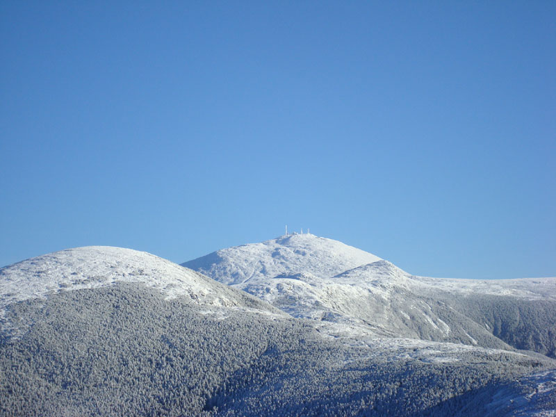
For Halloween, Mt. Washington decided to dress up as winter

Directions to trailhead: Take Route 302 West from Bartlett into Carroll. Just after Saco Lake, take a right onto Mt. Clinton Road. Shortly thereafter, take a left into the WMNF fee parking area driveway and Crawford Connector trailhead.
Back to Mt. Pierce Profile
|