Home
States
Colorado
Connecticut
Maine
Massachusetts
New Hampshire
New York
Rhode Island
Utah
Vermont
View All
Lists
NE 4,000 Footers
NE 100 Highest
NH 4,000 Footers
NH 100 Highest
NH 52 With A View
NH Belknap Range
NH Ossipee 10
Links
Trail Conditions
Trip Log
Sunrises
Sunsets
About
|
Mt. Pierce, Mt. Eisenhower
Bean's Grant, NH, Chandler's Purchase, NH
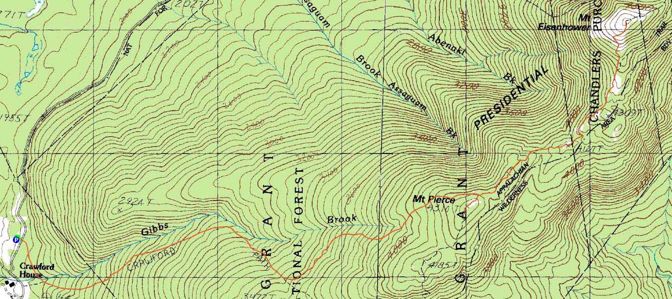
Trailheads, measurements, times, distances, and maps are all approximate and relative to the hike(s) as shown below.
Looking up the Crawford Path
Route: Crawford Connector, Crawford Path, Webster Cliff Trail, (Mt. Pierce), Webster Cliff Trail, Crawford Path, Mt. Eisenhower Loop, (Mt. Eisenhower), Mt. Eisenhower Loop, Crawford Path, Crawford Connector
With an excellent forecast and a subpar weekend projection, I headed up to the Presidentials for an afternoon hike. With the exception of the very bottom portion of the hike, there was very little snow monorail visible. Rather, it was still late winter/early spring conditions.
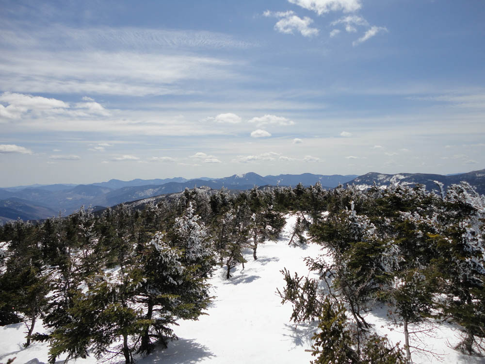
The views from Mt. Pierce were superb, as a good 5 to 6 feet of snowpack allowed for a 360 degree vista.
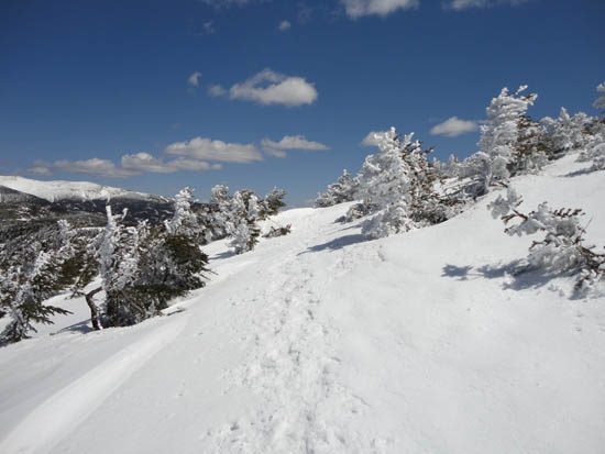
While the south facing alpine zones were quickly going bare, I was able to snowshoe in the snow-filled footbed to the base of the Eisenhower climb. The top portion of the Eisenhower Loop was a combination of slush, running water, snow drifts, and bare ground. Views were once again great on top of Eisenhower.
| Hike Ratings |
|
Getting To Trailhead: |
Easy |
| Destination: |
Mt. Pierce |
|
Length: |
Moderate |
|
Steepness: |
Moderate |
|
Navigation: |
Easy |
|
Views: |
Excellent |
|
Crowds: |
Moderate |
| Destination: |
Mt. Eisenhower |
|
Length: |
Moderate |
|
Steepness: |
Difficult |
|
Navigation: |
Moderate |
|
Views: |
Excellent |
|
Crowds: |
Moderate |
|
| Hike Stats |
|
Date Hiked: |
Friday, April 22, 2011 |
| Parking Elevation: |
1,920' |
| Destination: |
Mt. Pierce |
| Time Elapsed: |
01:27 |
| Trailhead Elevation: |
1,920' |
| Summit Elevation: |
4,310' |
| Distance: |
3.2 miles |
| Vertical Gain: |
2,430' |
| Destination: |
Mt. Eisenhower |
| Time Elapsed: |
00:55 |
| Trailhead Elevation: |
4,310' |
| Summit Elevation: |
4,780' |
| Distance: |
1.7 miles |
| Vertical Gain: |
920' |
|
|
| Hike Time Elapsed: |
04:38 |
| Hike Vertical Gain: |
3,770' |
|
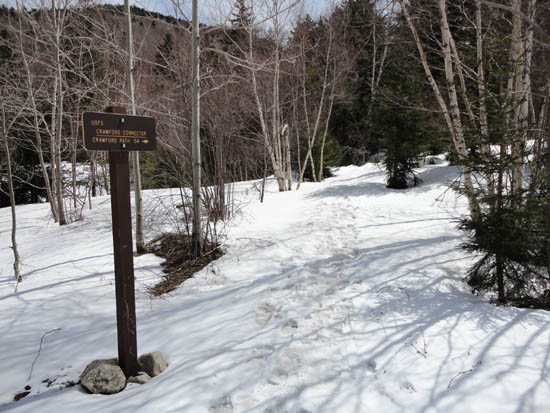
Crawford Connector trailhead

Looking at Mt. Carrigain from the deep-snow-covered Mt. Pierce
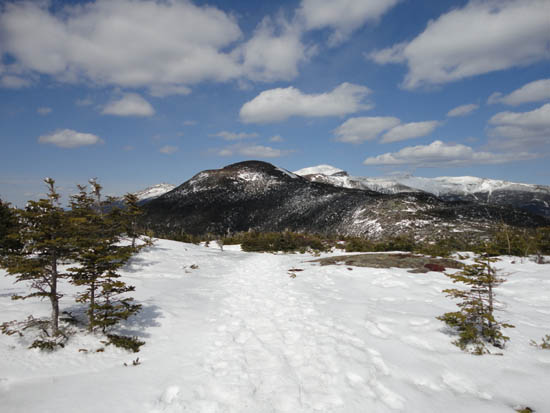
The Crawford Path on the way to Mt. Eisenhower
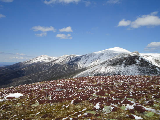
Jefferson, Reagan, Washington, and Monroe as seen from the Mt. Eisenhower summit

Directions to trailhead: Take Route 302 West from Bartlett into Carroll. Just after Saco Lake, take a right onto Mt. Clinton Road. Shortly thereafter, take a left into the WMNF fee parking area driveway and Crawford Connector trailhead.
Back to Mt. Pierce Profile
Back to Mt. Eisenhower Profile
|