Home
States
Colorado
Connecticut
Maine
Massachusetts
New Hampshire
New York
Rhode Island
Utah
Vermont
View All
Lists
NE 4,000 Footers
NE 100 Highest
NH 4,000 Footers
NH 100 Highest
NH 52 With A View
NH Belknap Range
NH Ossipee 10
Links
Trail Conditions
Trip Log
Sunrises
Sunsets
About
|
Mt. Pierce
Carroll, NH, Crawford's Purchase, NH, Bean's Grant, NH
Trailheads, measurements, times, distances, and maps are all approximate and relative to the hike(s) as shown below.
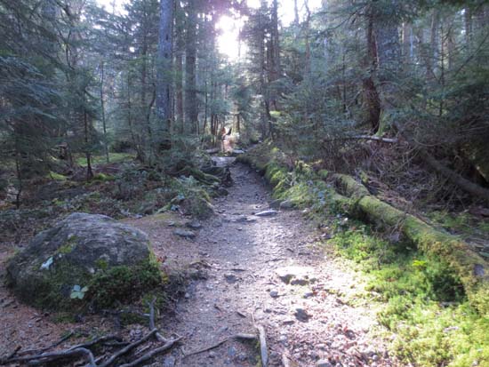
Looking up the Crawford Path
Route: Crawford Connector, Crawford Path, Webster Cliff Trail, Mt. Clinton Trail, Dry River Cutoff, Mizpah Cutoff
Crawford Path at plenty of minor mud and slippery rocks. Considering the condition of this trail, as well as the use it gets, it could use a significant improvement effort to make travel easier/safer and to prevent further erosion.
Webster Cliff Trail from Pierce to Mizpah was fairly smooth sailing. No ice or snow or frozen ground. Mizpah Hut is closed until spring.
Short segment of Mt. Clinton Trail and then Dry River Cutoff was unpleasant. Lots of areas of mud, slippery rock, and running water on trail. Confusion around the last two water crossings - at the second to last water crossing, orange flagging tape leads downstream about 50 feet (steep scramble up the embankment to the old roadbed), then past a bootleg campsite, then to the larger brook crossing, then upstream about 200 feet, then rejoins the old trail. On the reverse trip, I found the trail between the two (if descending, go *upstream* at the second to last crossing about 15 feet, follow trail to final crossing, where you go straight across). This route I think it safer than the flagged route - not sure if USFS flagged it or not, so I left the tape.
In terms of signage and trail status:
There is a sign as you depart Mizpah Hut stating the Dry River Trail is closed. However, when you arrive at the Mt. Eisenhower Trail junction, there is no such sign.
There is no mention of the Mt. Clinton Trail being closed. However, the sign at the Dry River Cutoff junction only shows the Dry River Cutoff (sign for Mt. Clinton Trail is missing). The lower Mt. Clinton Trail essentially goes nowhere, considering the Dry River Trail is closed.
Essentially, Dry River Cutoff and Mt. Eisenhower Trail are currently mutually the only reason for each other's existence.
| Hike Ratings |
|
Getting To Trailhead: |
Easy |
| Destination: |
Mt. Pierce |
|
Length: |
Moderate |
|
Steepness: |
Moderate |
|
Navigation: |
Difficult |
|
Views: |
Excellent |
|
Crowds: |
Minimal |
|
| Hike Stats |
|
Date Hiked: |
Saturday, October 27, 2012 |
| Parking Elevation: |
1,920' |
| Destination: |
Mt. Pierce |
| Time Elapsed: |
01:15 |
| Trailhead Elevation: |
1,920' |
| Summit Elevation: |
4,310' |
| Distance: |
3.2 miles |
| Vertical Gain: |
2,430' |
|
|
| Hike Time Elapsed: |
05:19 |
| Hike Vertical Gain: |
3,830' |
|
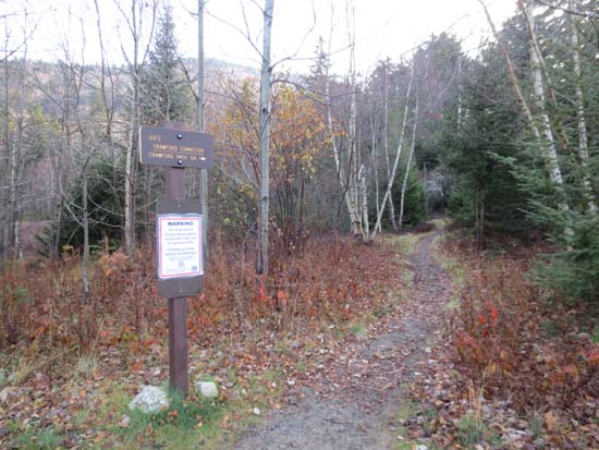
Crawford Connector trailhead

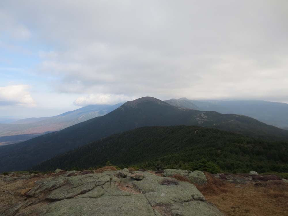
Mt. Eisenhower as seen from Mt. Pierce
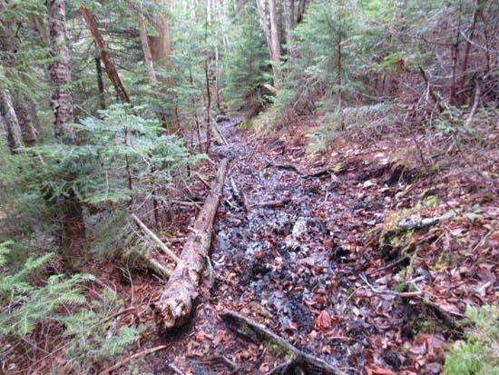
The enjoyable Dry River Cutoff
Directions to trailhead: Take Route 302 West from Bartlett into Carroll. Just after Saco Lake, take a right onto Mt. Clinton Road. Shortly thereafter, take a left into the WMNF fee parking area driveway and Crawford Connector trailhead.
Back to Mt. Pierce Profile
|