Home
States
Colorado
Connecticut
Maine
Massachusetts
New Hampshire
New York
Rhode Island
Utah
Vermont
View All
Lists
NE 4,000 Footers
NE 100 Highest
NH 4,000 Footers
NH 100 Highest
NH 52 With A View
NH Belknap Range
NH Ossipee 10
Links
Trail Conditions
Trip Log
Sunrises
Sunsets
About
|
Mt. Prospect
Holderness, NH
Trailheads, measurements, times, distances, and maps are all approximate and relative to the hike(s) as shown below.
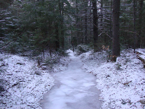
Looking down the icy trail to Mt. Prospect
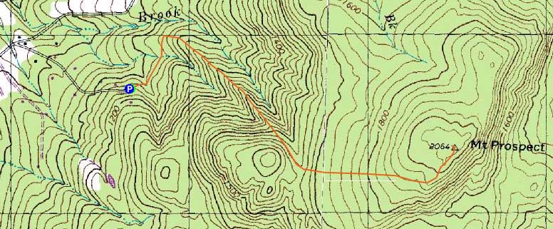
Route: Unknown trail
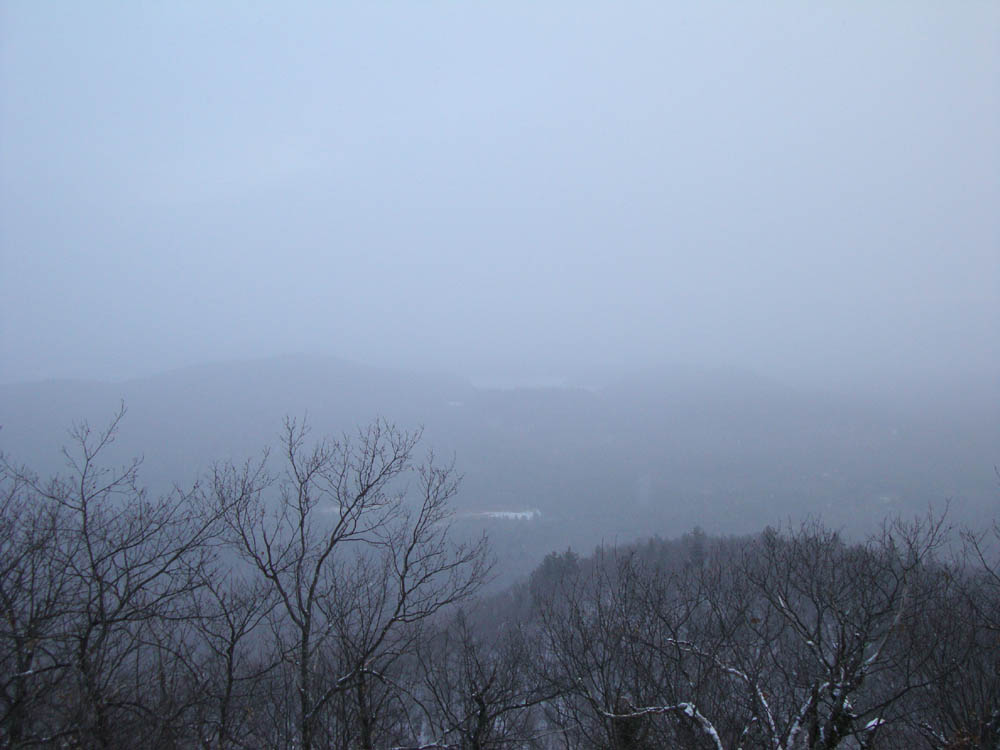
Since the afternoon weather was cloudy with snow flurries, I opted to not bother with a sunset hike attempt. Instead, I headed over to Mt. Prospect for a jog. Wanting to shake things up a bit, I decided to look for a trail from Prospect Ridge Road.
Starting on thus mostly unmarked trail, it dropped steeply down to a brook crossing, then gradually worked its way over to the main trail from Mt. Prospect Road. Though starting at a higher elevation, the trail was probably not much of a time or vertical saver. Nonetheless, it had a decent footbed for jogging.
About halfway up the main trail, the trail bed was suddenly filled with thick blue ice. Despite putting on Microspikes, the ice wasn't savely navigated. Thusly, I had to give up jogging and instead bushwhack along the side of the trail. Fortunately, the trail was much less icy above the first viewpoint (which was socked in due to the flurries).
Having lost a lot of time due to the ice conditions, I wasn't able to explore a potentially more direct route to Prospect Ridge Road for the descent. Nonetheless, I was able to make it out just prior to needing a headlamp.
| Hike Ratings |
|
Getting To Trailhead: |
Easy |
| Destination: |
Mt. Prospect |
|
Length: |
Moderate |
|
Steepness: |
Moderate |
|
Navigation: |
Moderate |
|
Views: |
Moderate (due to weather) |
|
Crowds: |
Minimal |
|
| Hike Stats |
|
Date Hiked: |
Thursday, December 16, 2010 |
| Hike Commenced: |
3:14 PM |
| Parking Elevation: |
1,150' |
| Destination: |
Mt. Prospect |
| Ascent Commenced: |
3:14 PM |
| Summit Reached: |
3:48 PM |
| Time Elapsed: |
00:34 |
| Trailhead Elevation: |
1,150' |
| Summit Elevation: |
2,064' |
| Vertical Gain: |
974' |
|
|
| Hike Ended: |
4:28 PM |
| Hike Time Elapsed: |
01:14 |
| Hike Vertical Gain: |
1,034' |
|
The trailhead at the end of Prospect Ridge Road
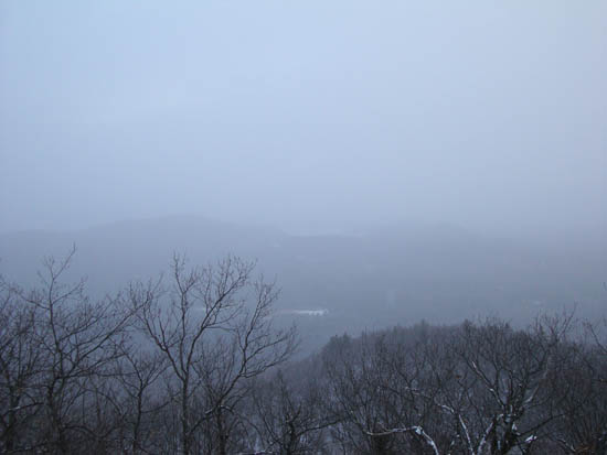
Looking over the Squam Range toward the lakes from the southeastern Mt. Prospect viewpoint


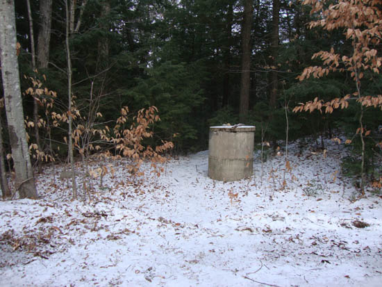
Directions to trailhead: From Meredeth, take Route 25 west, then take a right onto Route 175 north. Just prior to the 175A junction, take a right onto Mt. Prospect Road. A few minutes later, take a right onto Prospect Ridge Road. There is a small paved turnaround at the top of this road, with a path starting at a concrete cap.
Back to Mt. Prospect Profile
|