Home
States
Colorado
Connecticut
Maine
Massachusetts
New Hampshire
New York
Rhode Island
Utah
Vermont
View All
Lists
NE 4,000 Footers
NE 100 Highest
NH 4,000 Footers
NH 100 Highest
NH 52 With A View
NH Belknap Range
NH Ossipee 10
Links
Trail Conditions
Trip Log
Sunrises
Sunsets
About
|
Mt. Reagan, Mt. Jefferson
Thompson and Meserve's Purchase, NH
Trailheads, measurements, times, distances, and maps are all approximate and relative to the hike(s) as shown below.
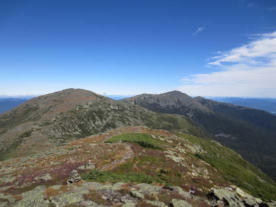
The Clay Loop
Route: Caps Ridge Trail, The Cornice, Gulfside, Mt. Clay Loop, Sphinx Trail, Great Gulf Trail, Six Husbands Trail
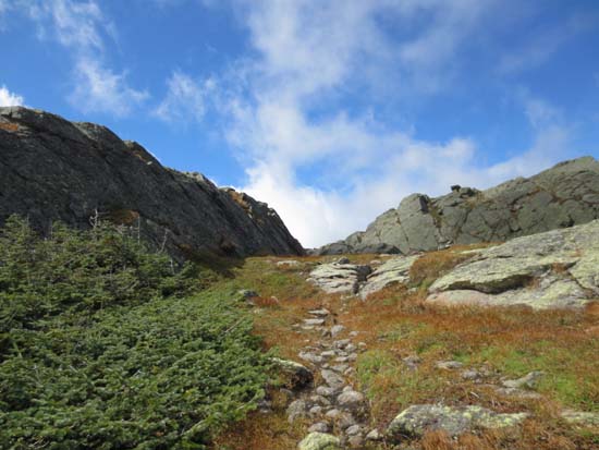
Caps Ridge Trail was slippery in the morning, but generally dry in the afternoon.
The Cornice was smooth sailing from Caps Ridge to Gulfside.
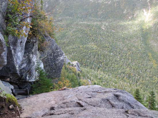
The upper Sphinx Trail had some slippery scramble ledges. The lower half of the trail was slow going due to being a brook in places and rough in other places. Also some rough spots in the section of the Great Gulf Trail used, including a few wet ledges in which a fall could cause some bodily harm.
Six Husbands Trail had a few wet ledges that made getting on and off the ladders a little dangerous. Otherwise, it was fine and fun.
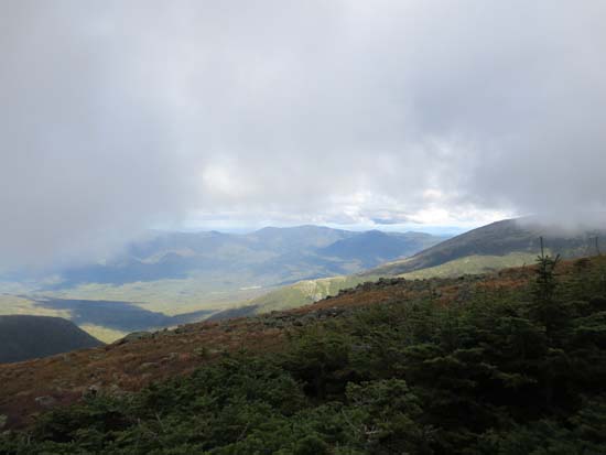
A fall chill in the air made for smooth sailing. Summits generally in the clear in the morning, but fog moved in during the late afternoon hours.
| Hike Ratings |
|
Getting To Trailhead: |
Easy |
| Destination: |
Mt. Reagan |
|
Length: |
Moderate |
|
Steepness: |
Very Difficult |
|
Navigation: |
Moderate |
|
Views: |
Excellent |
|
Crowds: |
Moderate |
| Destination: |
Mt. Jefferson |
|
Length: |
Very Difficult |
|
Steepness: |
Very Difficult |
|
Navigation: |
Moderate |
|
Views: |
Excellent |
|
Crowds: |
Minimal |
|
| Hike Stats |
|
Date Hiked: |
Sunday, September 9, 2012 |
| Parking Elevation: |
3,009' |
| Destination: |
Mt. Jefferson |
| Time Elapsed: |
02:17 |
| Trailhead Elevation: |
3,009' |
| Summit Elevation: |
5,533' |
| Vertical Gain: |
475' |
| Destination: |
Mt. Jefferson |
| Time Elapsed: |
04:17 |
| Trailhead Elevation: |
5,533' |
| Summit Elevation: |
5,712' |
| Vertical Gain: |
2,812' |
|
|
| Hike Time Elapsed: |
08:34 |
| Hike Vertical Gain: |
5,876' |
|
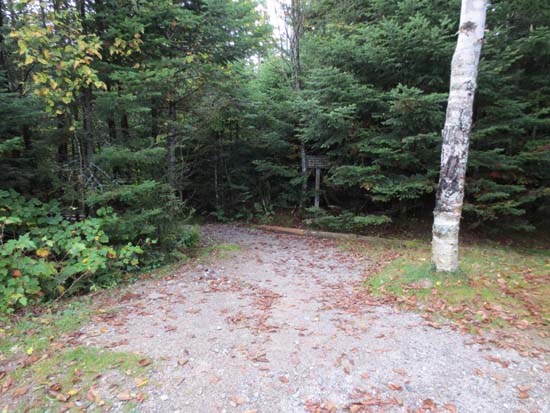
Caps Ridge Trail trailhead at Jefferson Notch
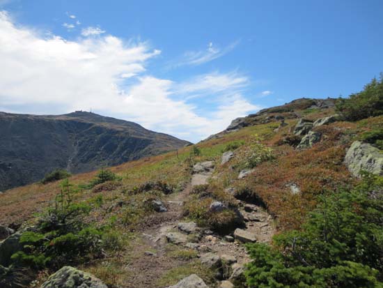
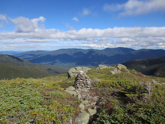
Looking at Mt. Jefferson and Mt. Adams from Mt. Reagan
The upper Sphinx Trail
The Six Husbands Trail
The Six Husbands Trail
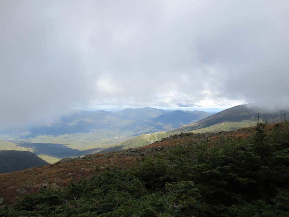
Looking at the Carters from near Mt. Jefferson
Directions to trailhead: Take Route 302 West from Bartlett into Carroll. Just after Saco Lake, take a right onto Mt. Clinton Road. Cross over Base Road and continue on Jefferson Notch Road. At the high point of the road, the WMNF fee parking lot will be on the right. The Caps Ridge Trail trailhead is at the back of the parking lot.
Back to Mt. Reagan Profile
Back to Mt. Jefferson Profile
|