Home
States
Colorado
Connecticut
Maine
Massachusetts
New Hampshire
New York
Rhode Island
Utah
Vermont
View All
Lists
NE 4,000 Footers
NE 100 Highest
NH 4,000 Footers
NH 100 Highest
NH 52 With A View
NH Belknap Range
NH Ossipee 10
Links
Trail Conditions
Trip Log
Sunrises
Sunsets
About
|
Mt. Roberts
Moultonborough, NH
Trailheads, measurements, times, distances, and maps are all approximate and relative to the hike(s) as shown below.
Looking up the Mt. Roberts Trail
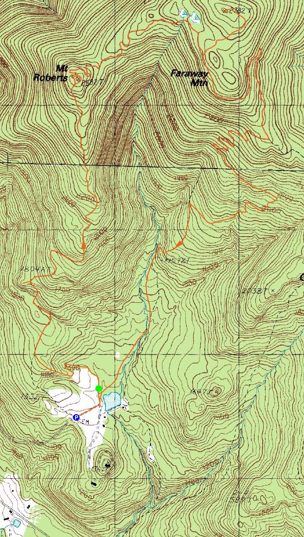
Route: Mt. Roberts Trail, (Mt. Roberts), High Ridge Trail, unknown carriage road, (Faraway Mountain), unknown carriage road, High Ridge Trail, Faraway Mountain Trail, Cold Spring Trail, unknown logging road, Cold Spring Road
While I had hoped to hike up in Maine, the last minute shift in the weather forecast changed my mind. Thus, I decided to stay local.
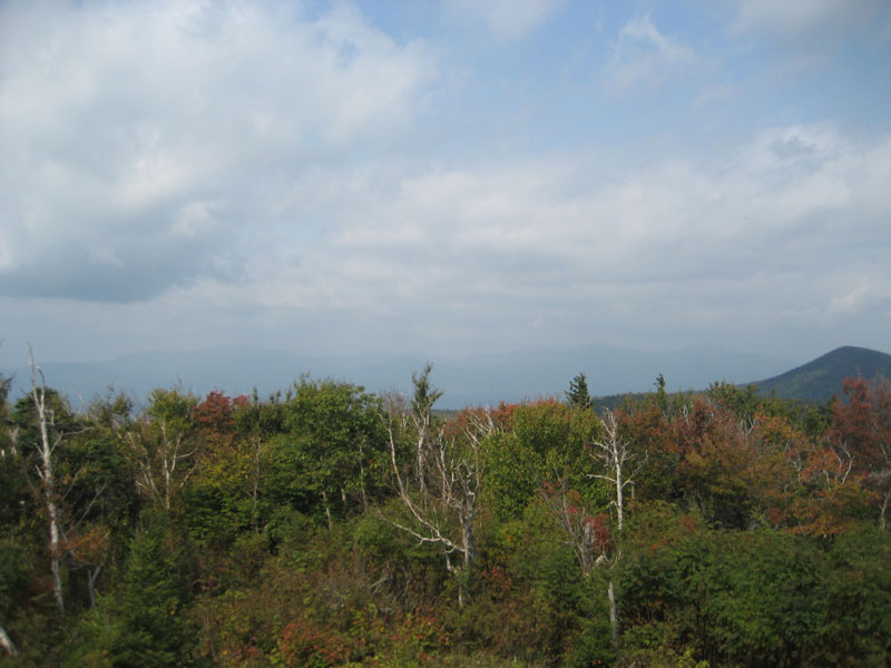
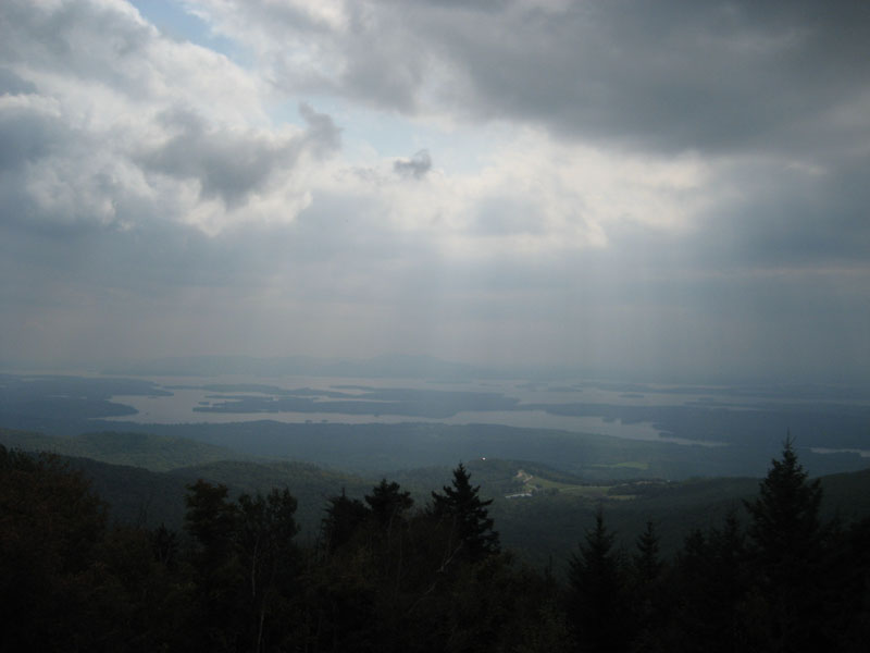
While there was some blue sky when I started, clouds were quickly moving in from the north. By the time I reached the Mt. Roberts ledges, the lake views were already rather obscured. The Mt. Roberts summit viewpoint was also rather hazy.
My next stop was the highpoint of Faraway Mountain. The High Ridge Trail was very gradual as it dipped off the back of Mt. Roberts, then ascended the shoulder of Faraway Mountain. Not long after passing a swampy area, I saw a carriage road departing to the left. As I looked up it, I saw the chain across it and knew it was the access road to the summit towers.
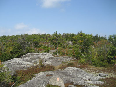
The access road meandered fairly gradually as it worked its way up to the highpoint, soon arriving at the open summit. Unfortunately the topography doesn't quite lend itself to views based upon the amount of land cleared, however I could see some obstructed views while standing next to the towers.
My next stop was the Faraway Mountain outlook along the High Ridge Trail. The views from here, despite the clouds and haze, were still strong - a good place for a snack.
On my way down, I heard a rustling in the woods and briefly saw what I think was a moose taking off upon hearing me. While I was tempted to go investigate, I wasn't positive that it was a moose (it could have been a bear), so I decided to continue on my way.
After dealing with a few of the switchbacks down the Faraway Mountain and Cold Spring trails, I hopped onto an old logging road and took a direct route down to Cold Spring Road. I found the end of those road to be a bit odd - a paved road with a turnaround area and what looked to be a bus stop of some sort, and a fenced in area with some buildings and what looked to be a pool. By the looks of the weeds growing up through the cracks in the pavement, it seems like there isn't much traffic on this gated road.
After a short road walk, I was back to the Shannon Pond area and soon back to the gate house parking area. Despite the cloud weather, not a bad day for a hike.
| Hike Ratings |
|
Getting To Trailhead: |
Easy |
| Destination: |
Mt. Roberts |
|
Length: |
Moderate |
|
Steepness: |
Moderate |
|
Navigation: |
Easy |
|
Views: |
Excellent |
|
Crowds: |
Minimal |
| Destination: |
Faraway Mountain |
|
Length: |
Moderate |
|
Steepness: |
Easy |
|
Navigation: |
Moderate |
|
Views: |
Moderate (due to weather) |
|
Crowds: |
Minimal |
|
| Hike Stats |
|
Date Hiked: |
Sunday, September 21, 2008 |
| Hike Commenced: |
11:19 AM |
| Parking Elevation: |
1,240' |
| Destination: |
Mt. Roberts |
| Ascent Commenced: |
11:25 AM |
| Summit Reached: |
12:31 PM |
| Time Elapsed: |
01:06 |
| Trailhead Elevation: |
1,250' |
| Summit Elevation: |
2,582' |
| Distance: |
2.5 miles |
| Vertical Gain: |
1,407' |
| Destination: |
Faraway Mountain |
| Ascent Commenced: |
12:34 PM |
| Summit Reached: |
1:18 PM |
| Time Elapsed: |
00:44 |
| Trailhead Elevation: |
2,582' |
| Summit Elevation: |
2,782' |
| Vertical Gain: |
342' |
|
|
| Hike Ended: |
3:18 PM |
| Hike Time Elapsed: |
03:59 |
| Hike Vertical Gain: |
1,829' |
|
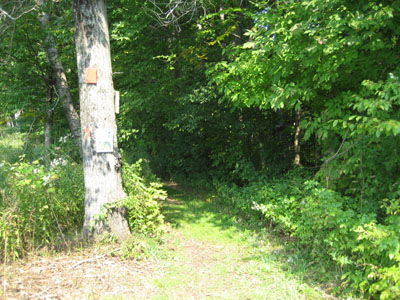
Mt. Roberts Trail trailhead near the horse barn
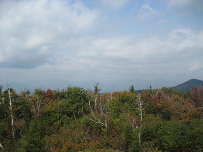
Looking at the Sandwich Range from the Mt. Roberts summit.
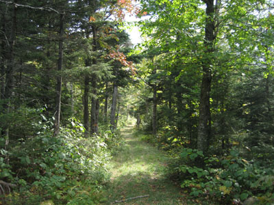
The High Ridge Trail

Looking across the lake at the Belknap Range from the Faraway Mountain vista


Directions to trailhead: Take Route 109 South from Route 25. Bear left onto Route 171. Shortly thereafter, take a left onto Ossipee Park Road. The small hiker parking lot is located just after the gatehouse, on the right. Continue on the road on foot, taking a left at the intersection. The Mt. Roberts Trail trailhead is located at the corner of the field near the barn.
Back to Mt. Roberts Profile
Back to Faraway Mountain Profile
|