Home
States
Colorado
Connecticut
Maine
Massachusetts
New Hampshire
New York
Rhode Island
Utah
Vermont
View All
Lists
NE 4,000 Footers
NE 100 Highest
NH 4,000 Footers
NH 100 Highest
NH 52 With A View
NH Belknap Range
NH Ossipee 10
Links
Trail Conditions
Trip Log
Sunrises
Sunsets
About
|
Mt. Rosebrook
Carroll, NH, Bethlehem, NH
Trailheads, measurements, times, distances, and maps are all approximate and relative to the hike(s) as shown below.
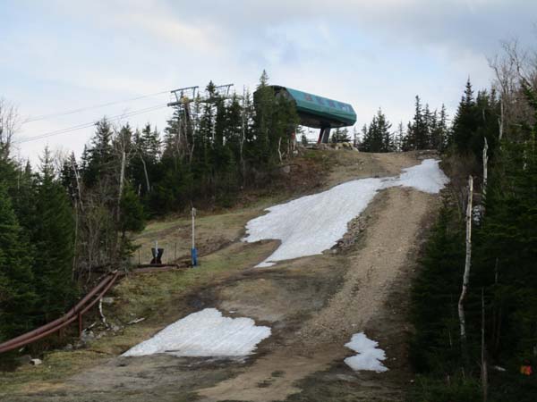
Looking up the ski slopes near the top of Mt. Rosebrook
Route: Ski trails
The access road up the ski trails is virtually snow free, except near the summit where there were a few small patches that had to be crossed (no natural snow visible in the woods). Not too much mud. May have to take a different route if hiked this summer/fall, as there will be major lift construction (just starting).
| Hike Ratings |
|
Getting To Trailhead: |
Easy |
| Destination: |
Mt. Rosebrook |
|
Length: |
Moderate |
|
Steepness: |
Moderate |
|
Navigation: |
Easy |
|
Views: |
Excellent |
|
Crowds: |
Minimal |
|
| Hike Stats |
|
Date Hiked: |
Thursday, May 17, 2018 |
| Parking Elevation: |
1,580' |
| Destination: |
Mt. Rosebrook |
| Time Elapsed: |
00:34 |
| Trailhead Elevation: |
1,600' |
| Summit Elevation: |
3,004' |
| Vertical Gain: |
1,404' |
|
|
| Hike Vertical Gain: |
1,404' |
|
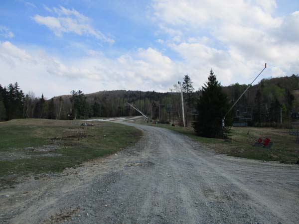
The bottom of the ski area

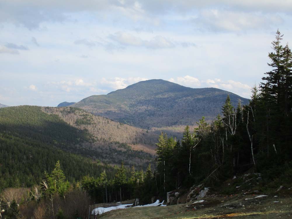
Mt. Tom as seen from Mt. Rosebrook
Directions to trailhead: Bretton Woods ski area is located just off US 302, east of Twin Mountain.
Back to Mt. Rosebrook Profile
|