Home
States
Colorado
Connecticut
Maine
Massachusetts
New Hampshire
New York
Rhode Island
Utah
Vermont
View All
Lists
NE 4,000 Footers
NE 100 Highest
NH 4,000 Footers
NH 100 Highest
NH 52 With A View
NH Belknap Range
NH Ossipee 10
Links
Trail Conditions
Trip Log
Sunrises
Sunsets
About
|
Mt. Rowe, Gunstock Mountain
Gilford, NH
Trailheads, measurements, times, distances, and maps are all approximate and relative to the hike(s) as shown below.
Looking up the Ridge Trail to Mt. Rowe
Route: Ridge Trail, (Mt. Rowe), Ridge Trail, (Gunstock Mountain), Brook Trail, Saddle Trail, Overlook Trail, Oak Ridge CC Trail
Wanting to avoid the new snow, I opted to head down to the Belknaps and try some new-to-me trails.
After following the Ridge Trail up to Mt. Rowe (essentially a road/ski trail walk) with a side trip to check out some equipment at the ski area, I proceeded through the work zone at the summit (new tower going up) and onto the next section of the Ridge Trail, a portion I had not yet been on. Sure enough, it was quite scenic as it worked it's way down some nice ledges.
Eventually reaching the ski trails, I headed up through some patchy snow to the summit, where the views were spectacular, dominated with a deep blue lake in the foreground and white peaks in the background.
For the descent, I headed down the Overlook Trail, which ended up being longer than I would have hoped. Nonetheless, it reached a really nice view ledge (looking in part at the Round Pond area peaks), prior to reaching a bland, somewhat ugly nordic ski trail walk (hopefully this recently excavated trail will be cleaned up a bit in the next few months).
| Hike Ratings |
|
Getting To Trailhead: |
Easy |
| Destination: |
Mt. Rowe |
|
Length: |
Moderate |
|
Steepness: |
Moderate |
|
Navigation: |
Moderate |
|
Views: |
Excellent |
|
Crowds: |
Minimal |
| Destination: |
Gunstock Mountain |
|
Length: |
Moderate |
|
Steepness: |
Difficult |
|
Navigation: |
Moderate |
|
Views: |
Excellent |
|
Crowds: |
Minimal |
|
| Hike Stats |
|
Date Hiked: |
Thursday, April 29, 2010 |
| Hike Commenced: |
4:00 PM |
| Parking Elevation: |
935' |
| Destination: |
Mt. Rowe |
| Ascent Commenced: |
4:04 PM |
| Summit Reached: |
4:29 PM |
| Time Elapsed: |
00:29 |
| Trailhead Elevation: |
935' |
| Summit Elevation: |
1,680' |
| Vertical Gain: |
745' |
| Destination: |
Gunstock Mountain |
| Ascent Commenced: |
4:29 PM |
| Summit Reached: |
5:09 PM |
| Time Elapsed: |
00:40 |
| Trailhead Elevation: |
1,680' |
| Summit Elevation: |
2,382' |
| Distance: |
1.5 miles |
| Vertical Gain: |
942' |
|
|
| Hike Ended: |
6:37 PM |
| Hike Time Elapsed: |
02:37 |
| Hike Vertical Gain: |
1,867' |
|
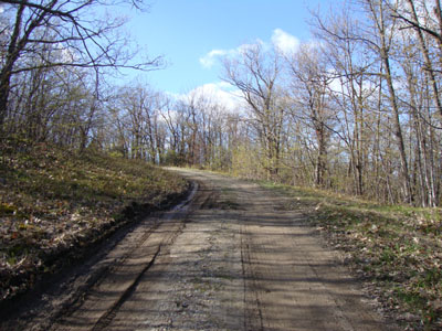
The Ridge Trail trailhead
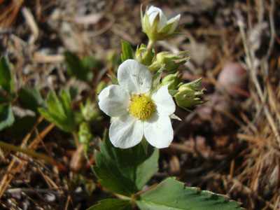
Wildflowers along the Ridge Trail
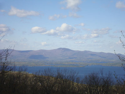
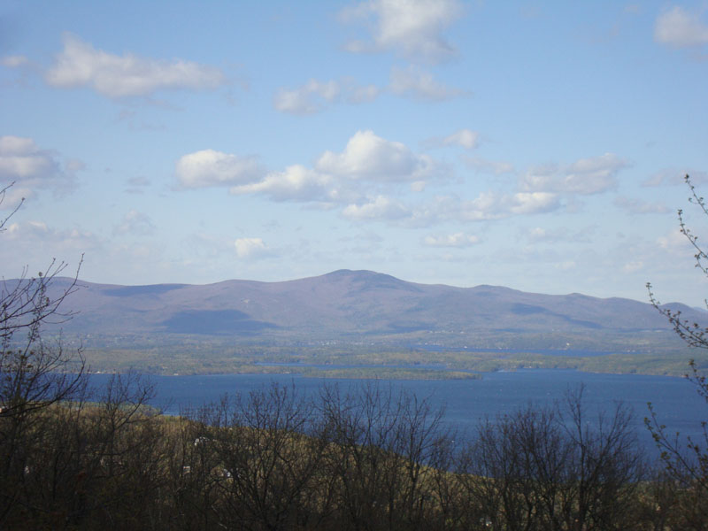
Looking at the Ossipees from Mt. Rowe
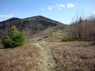
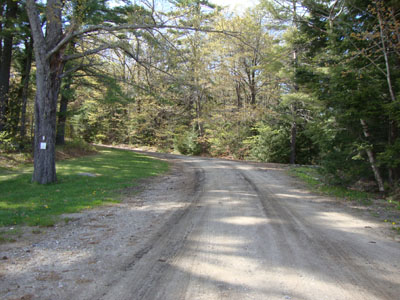
The Ridge Trail on the way to Gunstock Mountain
The Ridge Trail on the way to Gunstock Mountain

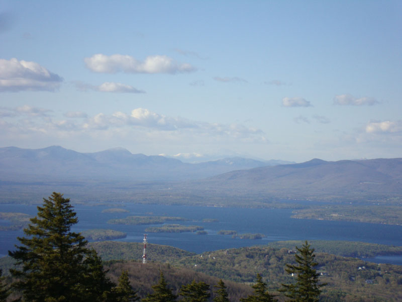
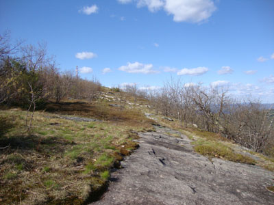
Looking at the snowcapped Presidentials, between the Sandwich Range and Ossipees, from Gunstock Mountain
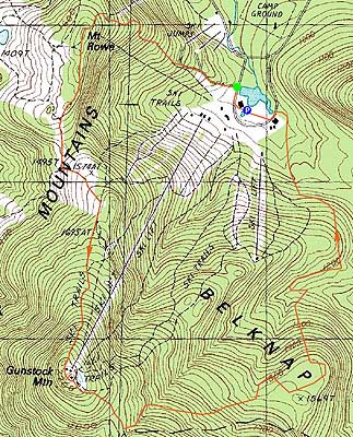

Directions to trailhead: Take Route 11A to Gunstock entrance, parking lot near the base lodge of the ski area. Trailhead is on the other side of the base lodge, near the skateboard park.
Back to Mt. Rowe Profile
Back to Gunstock Mountain Profile
|