Home
States
Colorado
Connecticut
Maine
Massachusetts
New Hampshire
New York
Rhode Island
Utah
Vermont
View All
Lists
NE 4,000 Footers
NE 100 Highest
NH 4,000 Footers
NH 100 Highest
NH 52 With A View
NH Belknap Range
NH Ossipee 10
Links
Trail Conditions
Trip Log
Sunrises
Sunsets
About
|
Mt. Rowe
Gilford, NH
Trailheads, measurements, times, distances, and maps are all approximate and relative to the hike(s) as shown below.
Looking up the Ridge Trail Mt. Rowe
Route: Ridge Trail
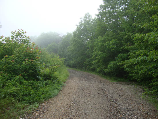
Rainy jog. Gravel access road held up well.
| Hike Ratings |
|
Getting To Trailhead: |
Easy |
| Destination: |
Mt. Rowe |
|
Length: |
Easy |
|
Steepness: |
Moderate |
|
Navigation: |
Moderate |
|
Views: |
Minimal (due to weather) |
|
Crowds: |
Minimal |
|
| Hike Stats |
|
Date Hiked: |
Friday, June 24, 2011 |
| Parking Elevation: |
935' |
| Destination: |
Mt. Rowe |
| Time Elapsed: |
00:15 |
| Trailhead Elevation: |
935' |
| Summit Elevation: |
1,680' |
| Vertical Gain: |
745' |
|
|
| Hike Time Elapsed: |
00:48 |
| Hike Vertical Gain: |
765' |
|
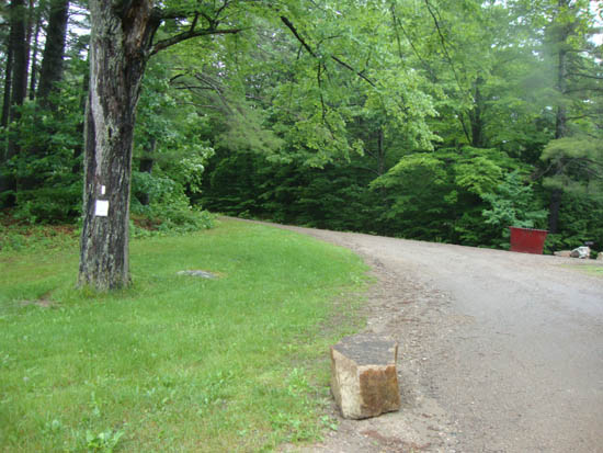
The Ridge Trail trailhead
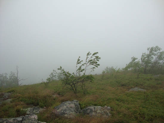
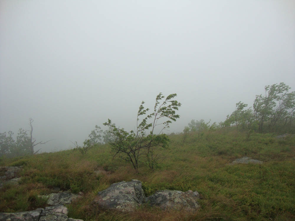
Wind and fog as seen from near the summit of Mt. Rowe
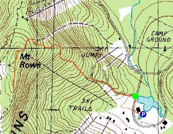

Directions to trailhead: Take Route 11A to Gunstock entrance, parking lot near the base lodge of the ski area. Trailhead is on the other side of the base lodge, near the skateboard park.
Back to Mt. Rowe Profile
|