Home
States
Colorado
Connecticut
Maine
Massachusetts
New Hampshire
New York
Rhode Island
Utah
Vermont
View All
Lists
NE 4,000 Footers
NE 100 Highest
NH 4,000 Footers
NH 100 Highest
NH 52 With A View
NH Belknap Range
NH Ossipee 10
Links
Trail Conditions
Trip Log
Sunrises
Sunsets
About
|
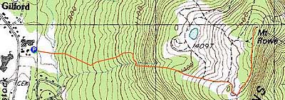
Mt. Rowe
Gilford, NH
Trailheads, measurements, times, distances, and maps are all approximate and relative to the hike(s) as shown below.
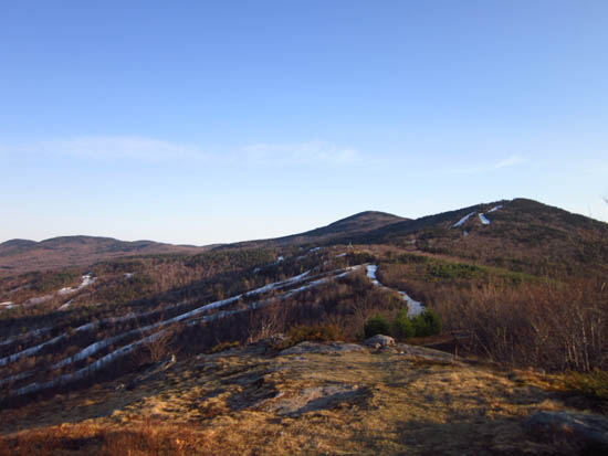
The White Trail to Mt. Rowe
Route: Green Trail, Blue Trail, Yellow Trail, herd path, White Trail, (Mt. Rowe), White Trail, herd path, Yellow Trail, Blue Trail, Green Trail
Trails were generally dry and in good shape. Snow and ice free. Warm temperatures.
| Hike Ratings |
|
Getting To Trailhead: |
Easy |
| Destination: |
Mt. Rowe |
|
Length: |
Moderate |
|
Steepness: |
Difficult |
|
Navigation: |
Moderate |
|
Views: |
Excellent |
|
Crowds: |
Minimal |
|
| Hike Stats |
|
Date Hiked: |
Thursday, March 22, 2012 |
| Parking Elevation: |
745' |
| Destination: |
Mt. Rowe |
| Time Elapsed: |
00:46 |
| Trailhead Elevation: |
745' |
| Summit Elevation: |
1,680' |
| Vertical Gain: |
995' |
|
|
| Hike Time Elapsed: |
01:35 |
| Hike Vertical Gain: |
1,055' |
|
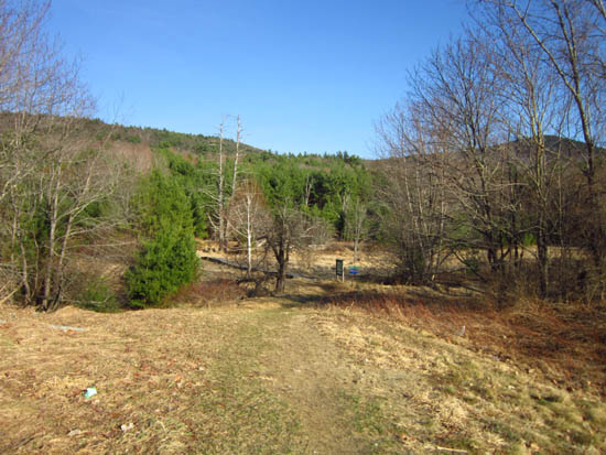
The Green Trail trailhead
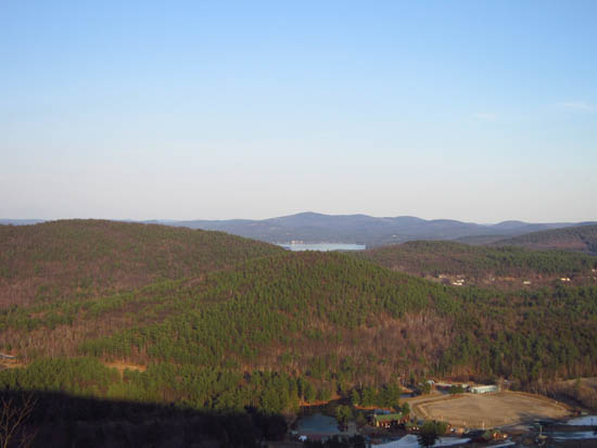
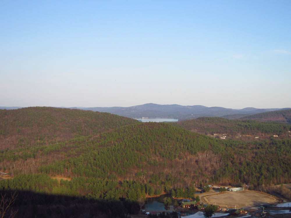
Copple Crown as seen from near the summit of Mt. Rowe

Directions to trailhead: Take Route 11A East from Laconia. Take a right onto Belknap Mountain Road. Take a left into the Gilford Elementary School parking lot. The trailhead is located in the back, southeast corner of the parking lot.
Back to Mt. Rowe Profile
|