Home
States
Colorado
Connecticut
Maine
Massachusetts
New Hampshire
New York
Rhode Island
Utah
Vermont
View All
Lists
NE 4,000 Footers
NE 100 Highest
NH 4,000 Footers
NH 100 Highest
NH 52 With A View
NH Belknap Range
NH Ossipee 10
Links
Trail Conditions
Trip Log
Sunrises
Sunsets
About
|
Mt. Shannon
Gilmanton, NH
Trailheads, measurements, times, distances, and maps are all approximate and relative to the hike(s) as shown below.
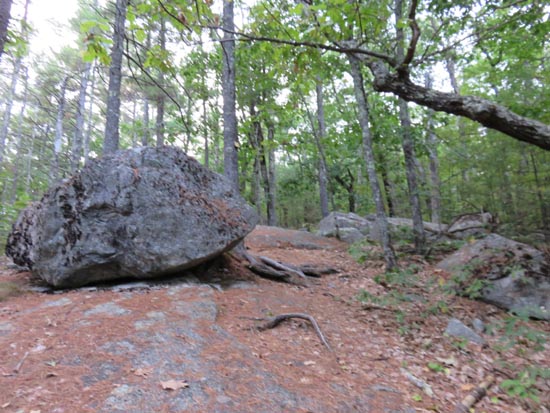
Looking up the Yellow Trail to Mt. Shannon
Route: Yellow Trail, (Mt. Shannon), Yellow Trail
Ascended the southern portion of the Yellow Trail from the scout camp. From the mess hall, I followed the signs to Sunset Lake, where the roads transition to trail.
Trail was mostly dry. Not much in way of fall foliage yet.
Via this route, it was 1.1 miles from the admin building to the summit.
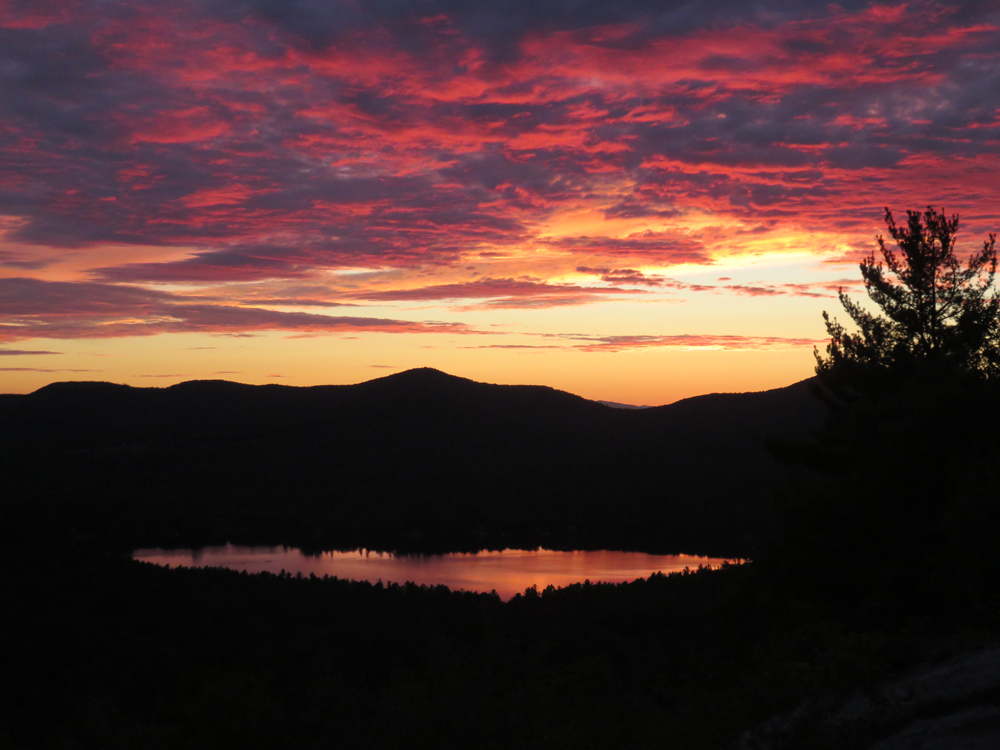
Stunning sunset.
| Hike Ratings |
|
Getting To Trailhead: |
Moderate |
| Destination: |
Mt. Shannon |
|
Length: |
Easy |
|
Steepness: |
Moderate |
|
Navigation: |
Easy |
|
Views: |
Excellent |
|
Crowds: |
Minimal |
|
| Hike Stats |
|
Date Hiked: |
Tuesday, September 22, 2015 |
| Parking Elevation: |
740' |
| Destination: |
Mt. Shannon |
| Time Elapsed: |
00:15 |
| Trailhead Elevation: |
740' |
| Summit Elevation: |
1,265' |
| Vertical Gain: |
575' |
|
|
| Hike Time Elapsed: |
01:08 |
| Hike Distance: |
2.2 miles |
| Hike Vertical Gain: |
625' |
|
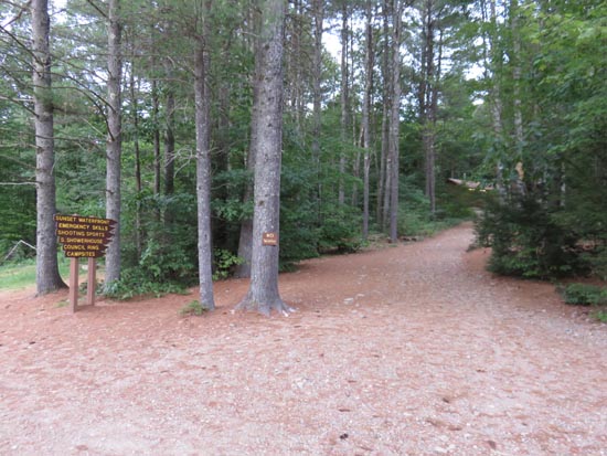
The Yellow Trail trailhead
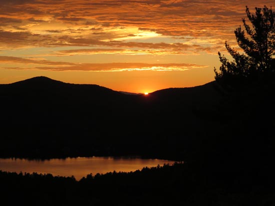

The sunset from Mt. Shannon
Directions to trailhead: From Route 107, take Route 140 east into Gilmanton. Take a left onto Crystal Lake Road, bearing left to stay on it (when Mountain Road goes straight). After passing Crystal Lake, the road turns into Guinea Ridge Road. Take a right onto Places Pond Road. The Griswold Hidden Valley Scout Reservation entrance will soon be on the left. During camp season, continue down the road to the parking area near Lake Eileen. Visitors need to check in/out at the Administration building during camp season. A branch of the Yellow Trail starts near the shore of Sunset Lake.
Back to Mt. Shannon Profile
|