Home
States
Colorado
Connecticut
Maine
Massachusetts
New Hampshire
New York
Rhode Island
Utah
Vermont
View All
Lists
NE 4,000 Footers
NE 100 Highest
NH 4,000 Footers
NH 100 Highest
NH 52 With A View
NH Belknap Range
NH Ossipee 10
Links
Trail Conditions
Trip Log
Sunrises
Sunsets
About
|
Mt. Surprise, Mt. Moriah
Gorham, NH, Shelburne, NH, Bean's Purchase, NH
Trailheads, measurements, times, distances, and maps are all approximate and relative to the hike(s) as shown below.
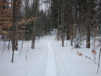
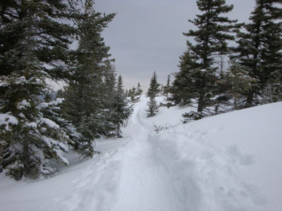
Looking up the Carter Moriah Trail on the way to Mt. Surprise
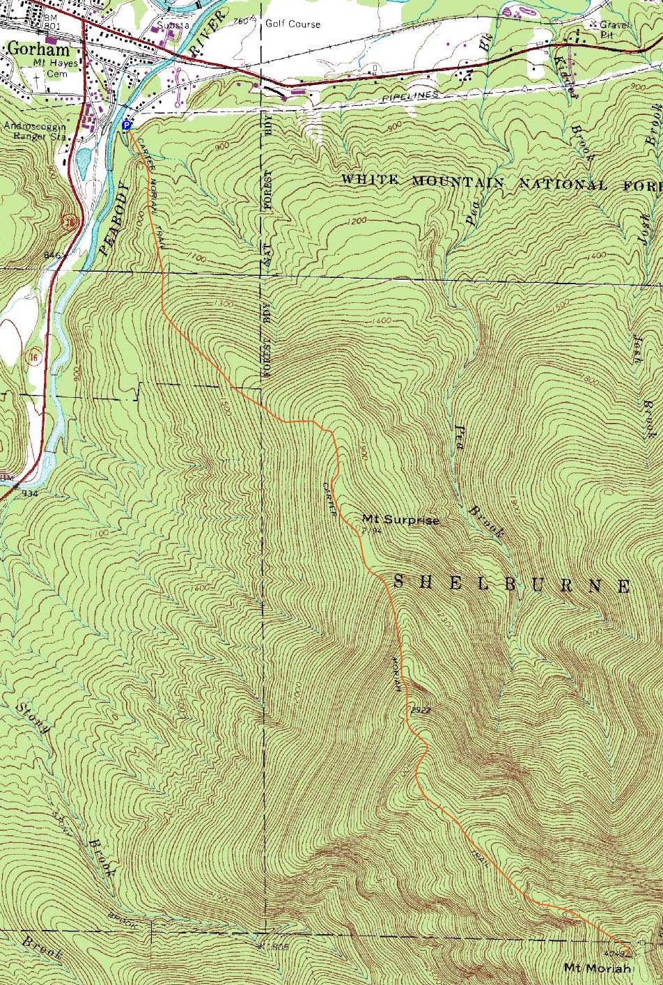
Route: Carter Moriah Trail
After dealing with unpleasant weather on Franconia Ridge a day earlier, the idea of a slightly tamer hike was palatable. Since my foot wasn't overly sore, I decided to give Moriah a go.
Arriving at the trailhead on Bangor Road, I had to squeeze in next to a snowbank, as the limited parking area was full (other than a space in front of a fire hydrant).
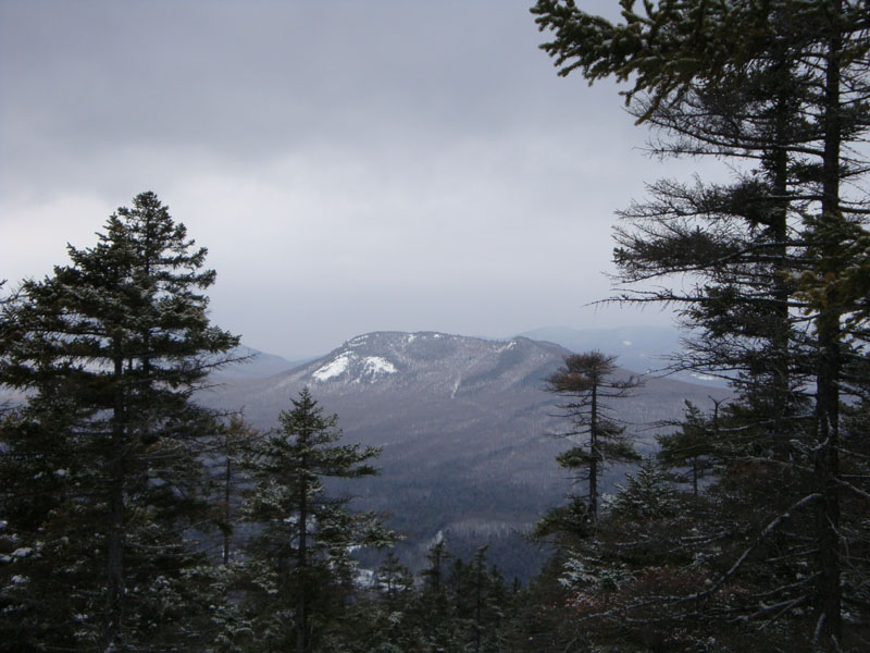
While the trail was well packed, I wasn't making a particularly good pace, as the flats threatened to irritate my taped foot. Nonetheless, as I started to make my way uphill toward Mt. Surprise, I was able to pick things up a bit. Reaching the ledges, the views weren't particularly strong due to the weather. In my previous time up this trail, I had bushwhacked to the summit of Mt. Surprise, however today it didn't seem at all worthwhile (no redeeming qualities in any weather in fact).
I found the ledge portion of the trail above Mt. Surprise to be more enjoyable with snow on the ground, as it seemed to make things appear a bit more open. Above the ledges, I set into the somewhat vexing grind of ups and downs, before seeing some familiar sights and soon reaching the summit.
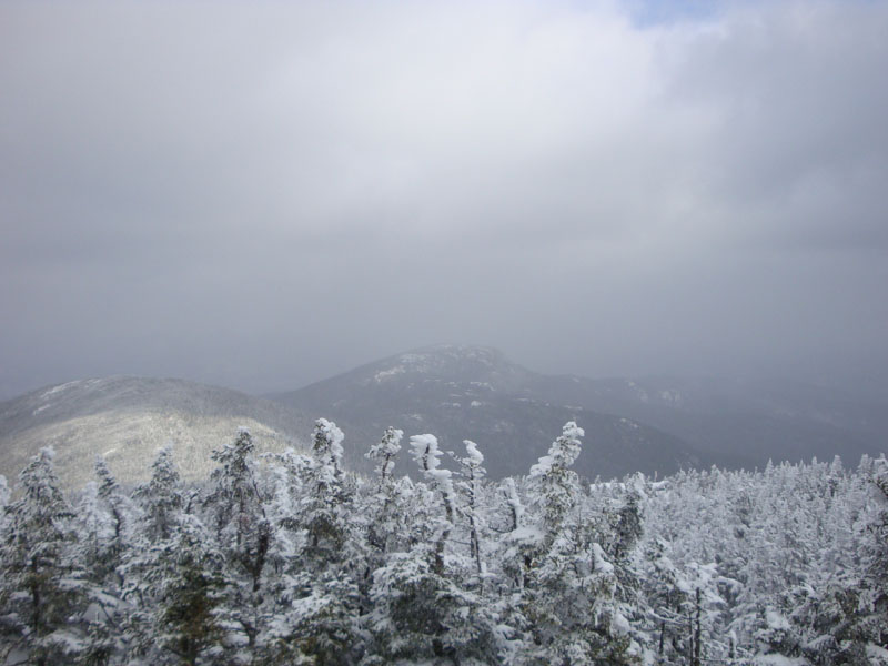
While there were some limited views from the summit, visibility was only a few miles at best. Since I was still in my limited ascending layers and the winds were whipping around a bit, I didn't stay long. Back in the trees, I threw on my winter gear, grabbed my saw, and had a jolly old time cutting up a bunch of blowdowns on my way back down.
| Hike Ratings |
|
Getting To Trailhead: |
Easy |
| Destination: |
Mt. Surprise |
|
Length: |
Moderate |
|
Steepness: |
Moderate |
|
Navigation: |
Easy |
|
Views: |
Moderate (due to weather) |
|
Crowds: |
Moderate |
| Destination: |
Mt. Moriah |
|
Length: |
Moderate |
|
Steepness: |
Very Difficult |
|
Navigation: |
Moderate |
|
Views: |
Moderate (due to weather) |
|
Crowds: |
Minimal |
|
| Hike Stats |
|
Date Hiked: |
Sunday, February 1, 2009 |
| Hike Commenced: |
8:31 AM |
| Parking Elevation: |
790' |
| Destination: |
Mt. Moriah |
| Ascent Commenced: |
8:31 AM |
| Summit Reached: |
11:10 AM |
| Time Elapsed: |
02:39 |
| Trailhead Elevation: |
790' |
| Summit Elevation: |
4,049' |
| Distance: |
4.5 miles |
| Vertical Gain: |
3,558' |
|
|
| Hike Ended: |
2:13 PM |
| Hike Time Elapsed: |
05:42 |
| Hike Distance: |
9 miles |
| Hike Vertical Gain: |
3,868' |
|
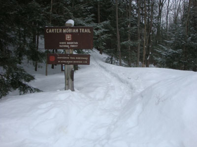
The Carter Moriah Trail trailhead on Bangor Street

Looking at Pine Mountain from the ledges below the Mt. Surprise summit
Looking down the Carter Moriah Trail between Mt. Surprise and Mt. Moriah

Looking northeast at Shelburne Moriah Mountain from Mt. Moriah

Directions to trailhead: Take Route 16 North to Gorham, then take US 2 East. Just after crossing the river, take a right onto Bangor Street. Trailhead is at the end of this street on the left. There is limited parking at the trailhead.
Back to Mt. Surprise Profile
Back to Mt. Moriah Profile
|