Home
States
Colorado
Connecticut
Maine
Massachusetts
New Hampshire
New York
Rhode Island
Utah
Vermont
View All
Lists
NE 4,000 Footers
NE 100 Highest
NH 4,000 Footers
NH 100 Highest
NH 52 With A View
NH Belknap Range
NH Ossipee 10
Links
Trail Conditions
Trip Log
Sunrises
Sunsets
About
|
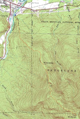
Mt. Surprise, Mt. Moriah
Gorham, NH, Shelburne, NH, Bean's Purchase, NH
Trailheads, measurements, times, distances, and maps are all approximate and relative to the hike(s) as shown below.

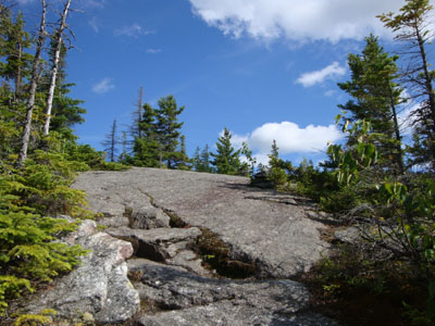
Looking up the Carter Moriah Trail on the way to Mt. Surprise
Route: Carter Moriah Trail
After a few days off due to a sore foot, I decided to try something perhaps a bit more gradual.
It was a beautiful day weatherwise, though the clouds were rolling in from the west. The Carter Moriah Trail to Mt. Surprise was generally in pretty good shape. The views from the ledges below Mt. Surprise were quite good, as the Presidentials were easily seen.
Skipping the true summit of Mt. Surprise, I was soon heading up the steep slabs - I forgot how tough these could be in wet weather - good thing I put off this hike until a nice day! The mud bog with bogwalks was a pain - the bogwalks are rotting away and a few of them toss up mud when stepped on.
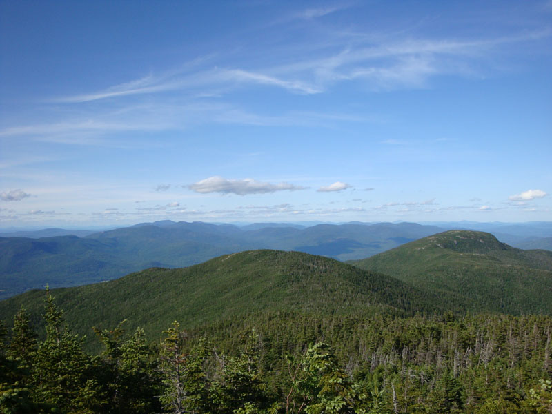
Reaching the summit, I was stunned by the quality of the views. While points to the west were increasingly hazy, the views in other directions were stunning crisp. Even the distant peaks in the Rangeley area were easily seen, such as the Saddlebacks, Sugarloaf, and Abraham. I couldn't help but spend some time on the summit, taking in the amazing scenery.
I was tempted to hang out at the Mt. Surprise ledges for sunset, however I decided I'd rather get through Pinkham Notch before dark. A beautiful day for Mt. Moriah.
| Hike Ratings |
|
Getting To Trailhead: |
Easy |
| Destination: |
Mt. Surprise |
|
Length: |
Moderate |
|
Steepness: |
Moderate |
|
Navigation: |
Easy |
|
Views: |
Excellent |
|
Crowds: |
Minimal |
| Destination: |
Mt. Moriah |
|
Length: |
Moderate |
|
Steepness: |
Very Difficult |
|
Navigation: |
Easy |
|
Views: |
Excellent |
|
Crowds: |
Minimal |
|
| Hike Stats |
|
Date Hiked: |
Wednesday, July 15, 2009 |
| Hike Commenced: |
3:19 PM |
| Parking Elevation: |
790' |
| Destination: |
Mt. Moriah |
| Ascent Commenced: |
3:19 PM |
| Summit Reached: |
5:25 PM |
| Time Elapsed: |
02:06 |
| Trailhead Elevation: |
790' |
| Summit Elevation: |
4,049' |
| Distance: |
4.5 miles |
| Vertical Gain: |
3,558' |
|
|
| Hike Ended: |
7:54 PM |
| Hike Time Elapsed: |
04:35 |
| Hike Distance: |
9 miles |
| Hike Vertical Gain: |
3,868' |
|
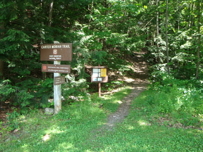
The Carter Moriah Trail trailhead on Bangor Street
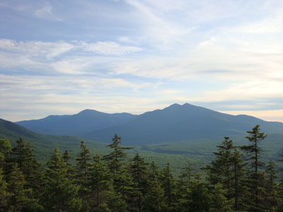
Looking at the Presidentials from the ledges below the Mt. Surprise summit
Looking up the Carter Moriah Trail between Mt. Surprise and Mt. Moriah

Looking northeast from Mt. Moriah

Directions to trailhead: Take Route 16 North to Gorham, then take US 2 East. Just after crossing the river, take a right onto Bangor Street. Trailhead is at the end of this street on the left. There is limited parking at the trailhead.
Back to Mt. Surprise Profile
Back to Mt. Moriah Profile
|