Home
States
Colorado
Connecticut
Maine
Massachusetts
New Hampshire
New York
Rhode Island
Utah
Vermont
View All
Lists
NE 4,000 Footers
NE 100 Highest
NH 4,000 Footers
NH 100 Highest
NH 52 With A View
NH Belknap Range
NH Ossipee 10
Links
Trail Conditions
Trip Log
Sunrises
Sunsets
About
|
Mt. Surprise, Mt. Moriah
Gorham, NH, Shelburne, NH, Bean's Purchase, NH
Trailheads, measurements, times, distances, and maps are all approximate and relative to the hike(s) as shown below.
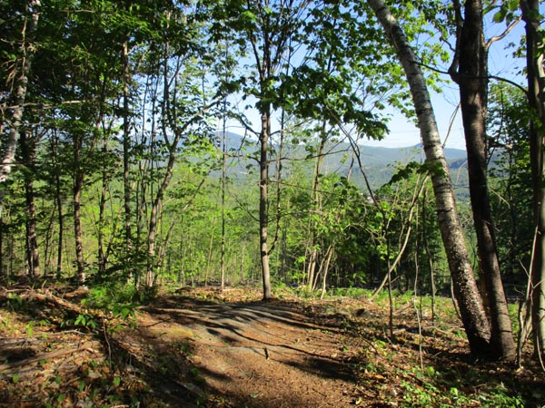
Looking down the Carter Moriah Trail adjacent to the recent logging
Route: Carter Moriah Trail
Trail was generally dry with some mud in the usual places and some wet ledge up high. The mud bug above the ledges was passable on the submerged bog bridge today. No snow or ice on the trail, but a couple of small patches were still visible in the woods in a few of the upper cols.
There has been logging on the past year along perhaps half a mile of trail below Mt. Surprise. Only one logging road crossing, and one section with logging on both sides of the trail (closest stump was perhaps 5 feet from the trail). Not a clear cut, but it brings a lot of sun onto the trail and provides some views. If there's enough snow, the northern cuts could provide a nice backcountry ski opportunity next winter.
Lots of destruction from poorly equipped shoulder season hikers and folks socially distancing off the treadway; trail creep and herd paths are causing permanent damage in places. Also observed more of the bagged dog poop left behind.
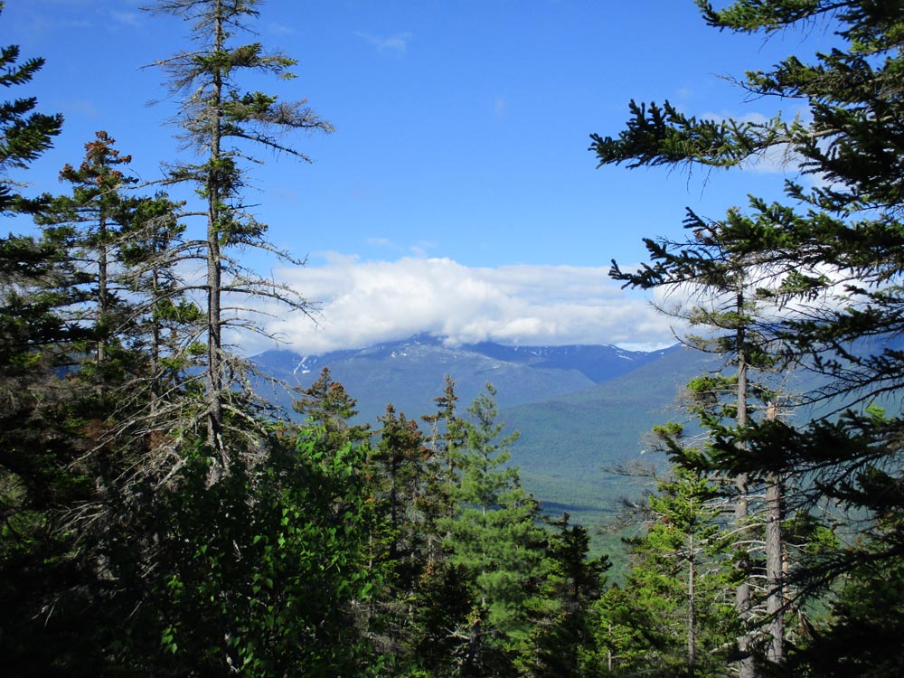
Decent morning weather with occasional sun and nice air (high Presis in the clouds though).
| Hike Ratings |
|
Getting To Trailhead: |
Easy |
| Destination: |
Mt. Surprise |
|
Length: |
Moderate |
|
Steepness: |
Moderate |
|
Navigation: |
Easy |
|
Views: |
Excellent |
|
Crowds: |
Heavy |
| Destination: |
Mt. Moriah |
|
Length: |
Moderate |
|
Steepness: |
Very Difficult |
|
Navigation: |
Easy |
|
Views: |
Excellent |
|
Crowds: |
Moderate |
|
| Hike Stats |
|
Date Hiked: |
Sunday, June 14, 2020 |
| Parking Elevation: |
790' |
| Destination: |
Mt. Surprise |
| Time Elapsed: |
00:36 |
| Trailhead Elevation: |
790' |
| Summit Elevation: |
2,194' |
| Distance: |
2 miles |
| Vertical Gain: |
1,434' |
| Destination: |
Mt. Moriah |
| Time Elapsed: |
01:07 |
| Trailhead Elevation: |
2,185' |
| Summit Elevation: |
4,049' |
| Distance: |
2.5 miles |
| Vertical Gain: |
2,134' |
|
|
| Hike Time Elapsed: |
03:34 |
| Hike Distance: |
9 miles |
| Hike Vertical Gain: |
3,868' |
|
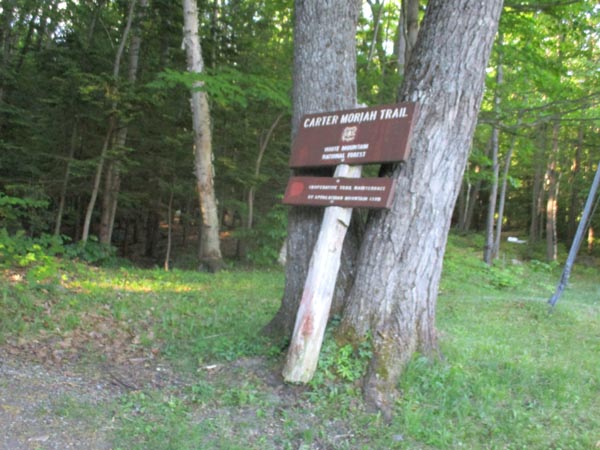
The Carter Moriah Trail trailhead on Bangor Street

Looking toward the Presidentials from the ledges below the Mt. Surprise summit
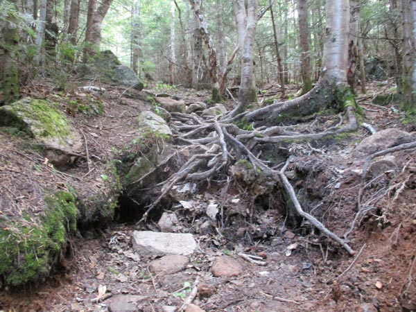
The heavily eroded Carter Moriah Trail on the way to Mt. Moriah
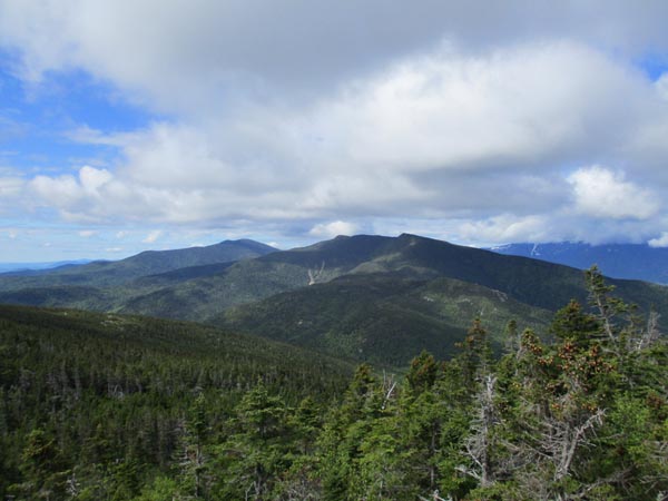
Looking at the Carters from Mt. Moriah
Directions to trailhead: Take Route 16 North to Gorham, then take US 2 East. Just after crossing the river, take a right onto Bangor Street. Trailhead is at the end of this street on the left. There is very limited parking at the trailhead.
Back to Mt. Surprise Profile
Back to Mt. Moriah Profile
|