Home
States
Colorado
Connecticut
Maine
Massachusetts
New Hampshire
New York
Rhode Island
Utah
Vermont
View All
Lists
NE 4,000 Footers
NE 100 Highest
NH 4,000 Footers
NH 100 Highest
NH 52 With A View
NH Belknap Range
NH Ossipee 10
Links
Trail Conditions
Trip Log
Sunrises
Sunsets
About
|
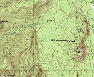
North Moat Mountain
Conway, NH, Bartlett, NH
Trailheads, measurements, times, distances, and maps are all approximate and relative to the hike(s) as shown below.
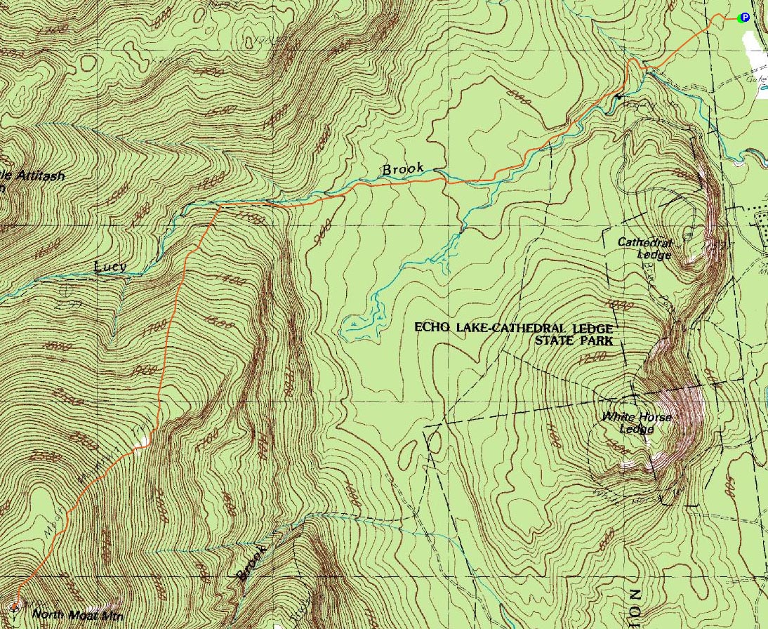
The Moat Mountain Trail
Route: Moat Mountain Trail
With a favorable weather forecast, I decided to hit up North Moat Mountain. My previous time on the Moats hadn't been too much fun, as it the scene of where my knee finally crapped out a few months back. As a result, I was hesitant to revisit the ridge. Nonetheless, it was time to git 'r done.
I started at Diana's Bath and proceded down the virtual hiking highway - one of the best maintained non-paved walking paths I've seen yet. Lots of people were around for the first three quarters of a mile or so, obviously drawn to the neat water feature.
After passing this area, I didn't see a single person. The Moat Mountain Trail is very easy going all the way to the Attitash Trail intersection, before quickly steepening up. Quite a change!
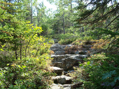
Things don't stay steep for too too long, as things become more moderate while the trail meanders up the ridge and around some nice ledges.
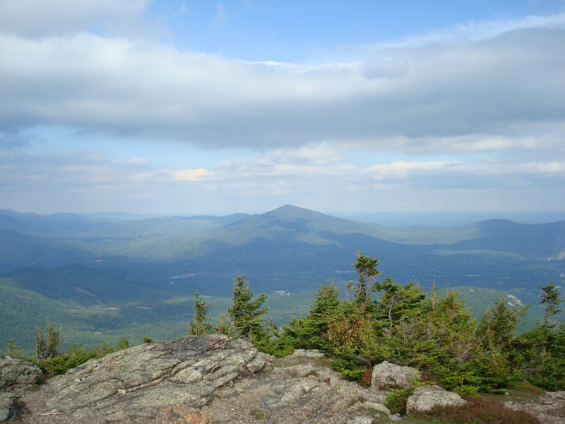
Just after the trail drops into a final col, things steepen up for a grand finale. Breaking out of the trees, I was let down to see the visibility had dropped considerably since I had started and a huge bank of clouds was overtaking the forecasted nice afternoon. Still, there were some nice views to be had to the east.
On the descent I listened to Pink Floyd's Meddle and Duncan Sheik's White Limousine. Though I hate long descents, this one wasn't too bad, as the flats at the end do go by at a rather good pace. By the time I reached the parking lot, the clouds were so heavy that it felt like it was after sundown!
| Hike Ratings |
|
Getting To Trailhead: |
Easy |
| Destination: |
North Moat Mountain |
|
Length: |
Moderate |
|
Steepness: |
Difficult |
|
Navigation: |
Easy |
|
Views: |
Excellent |
|
Crowds: |
Moderate |
|
| Hike Stats |
|
Date Hiked: |
Friday, September 14, 2007 |
| Hike Commenced: |
1:21 PM |
| Parking Elevation: |
550' |
| Destination: |
North Moat Mountain |
| Ascent Commenced: |
1:21 PM |
| Summit Reached: |
3:13 PM |
| Time Elapsed: |
01:52 |
| Trailhead Elevation: |
550' |
| Summit Elevation: |
3,196' |
| Distance: |
4.4 miles |
| Vertical Gain: |
2,746' |
|
|
| Hike Ended: |
5:24 PM |
| Hike Time Elapsed: |
04:03 |
| Hike Distance: |
8.8 miles |
| Hike Vertical Gain: |
2,846' |
|
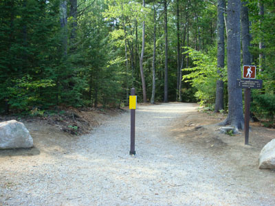
The Moat Mountain Trail trailhead at the Diana's Bath parking lot

Looking at Kearsarge North Mountain from North Moat Mountain

Directions to trailhead: From Conway, take West Side Road northwest to the Diana's Bath WMNF fee parking lot. The Moat Mountain Trail starts at the back of the parking lot.
Back to North Moat Mountain Profile
|