Home
States
Colorado
Connecticut
Maine
Massachusetts
New Hampshire
New York
Rhode Island
Utah
Vermont
View All
Lists
NE 4,000 Footers
NE 100 Highest
NH 4,000 Footers
NH 100 Highest
NH 52 With A View
NH Belknap Range
NH Ossipee 10
Links
Trail Conditions
Trip Log
Sunrises
Sunsets
About
|
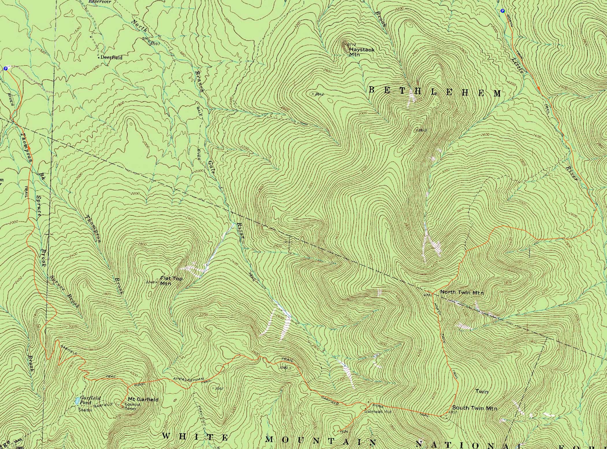
North Twin Mountain, South Twin Mountain, Galehead Mountain, Mt. Garfield
Bethlehem, NH, Franconia, NH
Trailheads, measurements, times, distances, and maps are all approximate and relative to the hike(s) as shown below.
The North Twin Trail
Route: North Twin Trail, herd path, North Twin Trail, view spur path, (North Twin Mountain), view spur path, North Twin Spur, (South Twin Mountain), Twinway, Frost Trail, (Galehead Mountain), Frost Trail, Garfield Ridge Trail, (Mt. Garfield), Garfield Ridge Trail, Garfield Trail
With Haystack and Gale River Road still open, it seemed like a good opportunity to grab the northern Pemi peaks.
Starting on the North Twin Trail, we bypassed the first two water crossings via the herd path and were soon at the final Little River confluence. With the water a bit high, it was somewhat tricky (though some downed trees could have provided an alternate route).
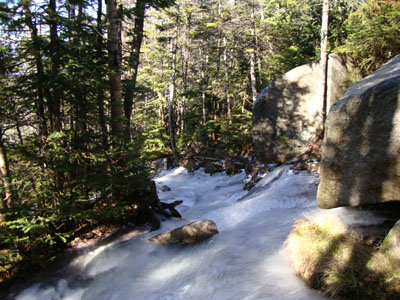
We eventually reached the snow as we ascended the increasingly steep North Twin Trail. Reaching the first viewpoint, things were a bit windy and cloudy. At the second vista, the wind appeared to be dying down a bit and the clouds lifting.
Between the two peaks, light traction was necessary for the first time, as some of the minor scrambles were well endowed with ice. Reaching South Twin, the Presidentials started to break out of the clouds. The winds were surprisingly not too heavy, despite being at the most exposed part of the hike. The Kinsmans were particularly interesting looking, as they were a decreasingly dark shade of blue (from the top down) with moisture rising out of the notch.
The Twinway to the hut was quite treacherous - quite a few extended sections were completely covered in blue ice, overmatching the Microspikes and requiring a light bushwhack. Dropping our packs at the closed Galehead Hut, we quickly headed up to the summit of Galehead Mountain, then returned for a nice, long, warm lunch break on the deck.
After splitting our group at the Gale River junction, we headed to Garfield. Surprisingly, the steep section adjacent to the campsite wasn't overly icy.
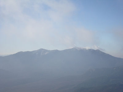
The late afternoon views from the windy Garfield summit were quite good - a bit hazy to the south, but quite strong toward the Green Mountains and Presidentials.
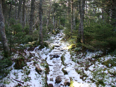
We ended up donning headlamps about a mile or two below the summit on the Garfield Trail, which was not overly icy below the old Garfield Pond Trail junction.
| Hike Ratings |
|
Getting To Trailhead: |
Moderate |
| Destination: |
North Twin Mountain |
|
Length: |
Moderate |
|
Steepness: |
Difficult |
|
Navigation: |
Easy |
|
Views: |
Excellent |
|
Crowds: |
Moderate |
| Destination: |
South Twin Mountain |
|
Length: |
Difficult |
|
Steepness: |
Difficult |
|
Navigation: |
Easy |
|
Views: |
Excellent |
|
Crowds: |
Moderate |
| Destination: |
Galehead Mountain |
|
Length: |
Difficult |
|
Steepness: |
Difficult |
|
Navigation: |
Easy |
|
Views: |
Excellent |
|
Crowds: |
Minimal |
| Destination: |
Mt. Garfield |
|
Length: |
Difficult |
|
Steepness: |
Difficult |
|
Navigation: |
Easy |
|
Views: |
Excellent |
|
Crowds: |
Minimal |
|
| Hike Stats |
|
Date Hiked: |
Sunday, November 8, 2009 |
| Hike Commenced: |
7:26 AM |
| Parking Elevation: |
1,795' |
| Destination: |
North Twin Mountain |
| Ascent Commenced: |
7:26 AM |
| Summit Reached: |
10:19 AM |
| Time Elapsed: |
02:53 |
| Trailhead Elevation: |
1,800' |
| Summit Elevation: |
4,761' |
| Distance: |
4.3 miles |
| Vertical Gain: |
3,111' |
| Destination: |
South Twin Mountain |
| Ascent Commenced: |
10:32 AM |
| Summit Reached: |
11:14 AM |
| Time Elapsed: |
00:42 |
| Trailhead Elevation: |
4,761' |
| Summit Elevation: |
4,902' |
| Distance: |
1.3 miles |
| Vertical Gain: |
461' |
| Destination: |
Galehead Mountain |
| Ascent Commenced: |
11:26 AM |
| Summit Reached: |
12:32 PM |
| Time Elapsed: |
01:06 |
| Trailhead Elevation: |
4,902' |
| Summit Elevation: |
4,024' |
| Distance: |
1.3 miles |
| Vertical Gain: |
309' |
| Destination: |
Mt. Garfield |
| Ascent Commenced: |
12:32 PM |
| Summit Reached: |
3:40 PM |
| Time Elapsed: |
03:08 |
| Trailhead Elevation: |
4,024' |
| Summit Elevation: |
4,500' |
| Vertical Gain: |
1,245' |
|
|
| Hike Ended: |
6:20 PM |
| Hike Time Elapsed: |
10:54 |
| Hike Vertical Gain: |
5,216' |
|
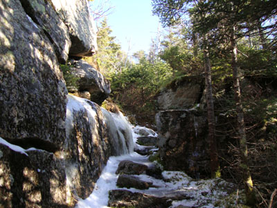
The North Twin Trail at the end of Haystack Road
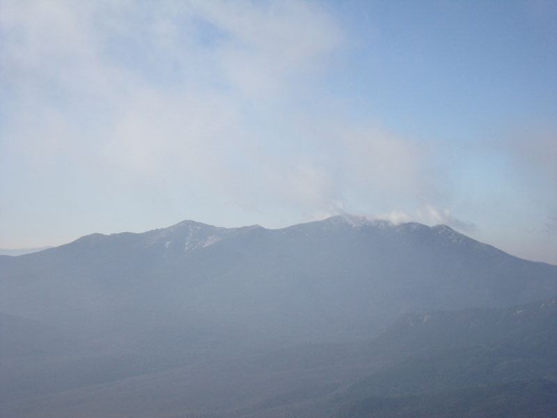
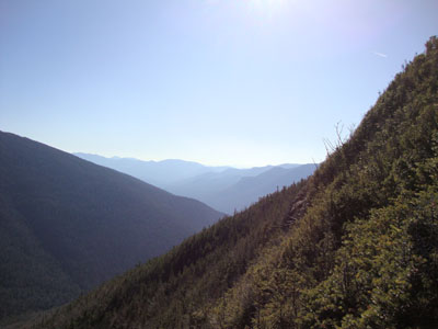
Looking at the Franconia Ridge from near the North Twin summit
The North Twin Spur

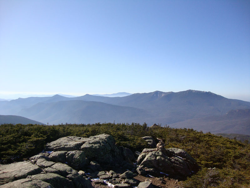
Looking at the Franconia Ridge from the South Twin summit
The icy Twinway between South Twin and Galehead
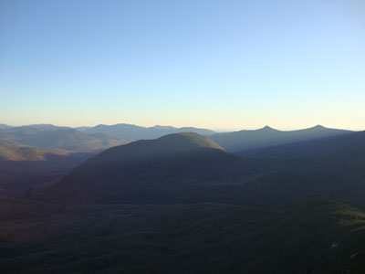
Looking south from the Galehead Mountain vista
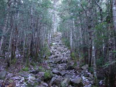
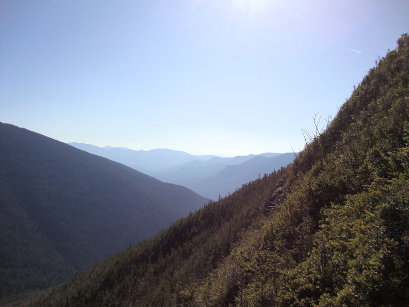
The Garfield Ridge Trail between Galehead and Garfield
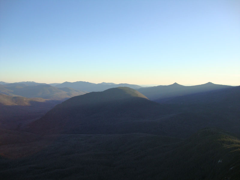
Owl's Head as seen from the Mt. Garfield summit
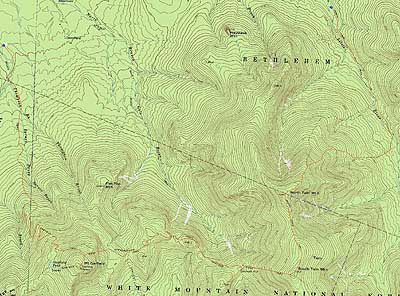

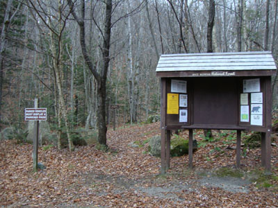
Directions to trailhead: From Route 302, take Route 3 South. Almost immediately after the Entering White Mountain National Forest, take a left onto Haystack Road. The WMNF fee parking area is at the end of the road, and the North Twin Trail trailhead is at the back of the lot. To reach the Garfield Trail trailhead, take Route 3 South from Haystack Road. Due to bridges being out on the west end of Gale River Road, take a left onto Gale River Road at the Five Corners junction. Bear left at the first fork, then take a right at the second fork, passing the Gale River Trail parking area. A few minutes later, the Garfield Trail WMNF fee hiker parking area is on the left, just before the Garfield Trail trailhead
Back to North Twin Mountain Profile
Back to South Twin Mountain Profile
Back to Galehead Mountain Profile
Back to Mt. Garfield Profile
|